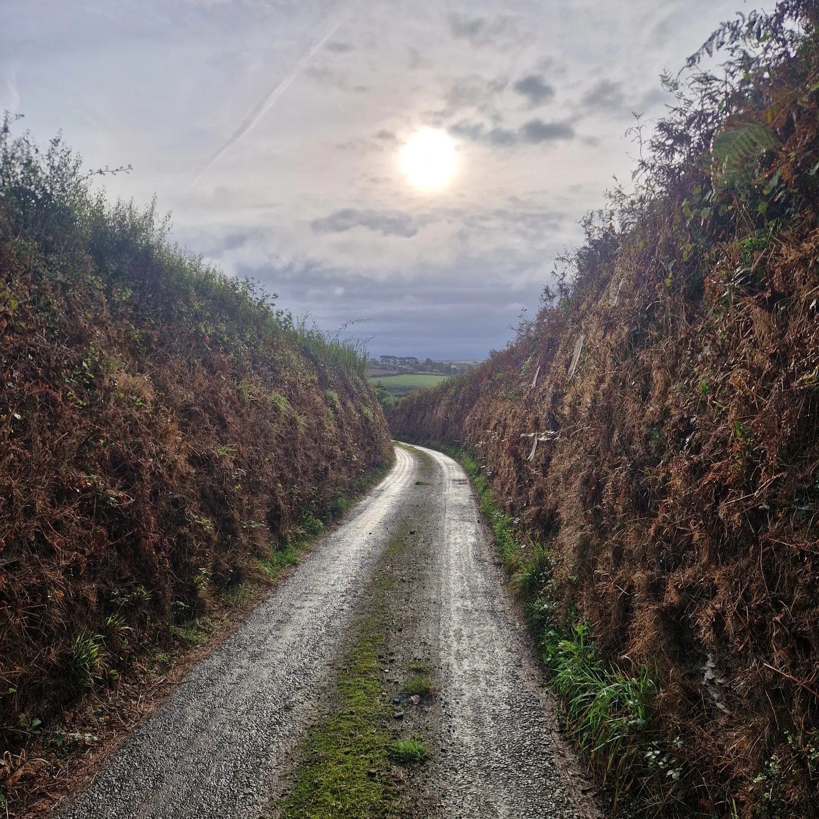
Rain!
I was woken up at 7 am by the sound of beating rain. My towel, which was drying outside, was now wetter than it was when I’d set it out to dry.
I fell back asleep and waited for the rain to stop.
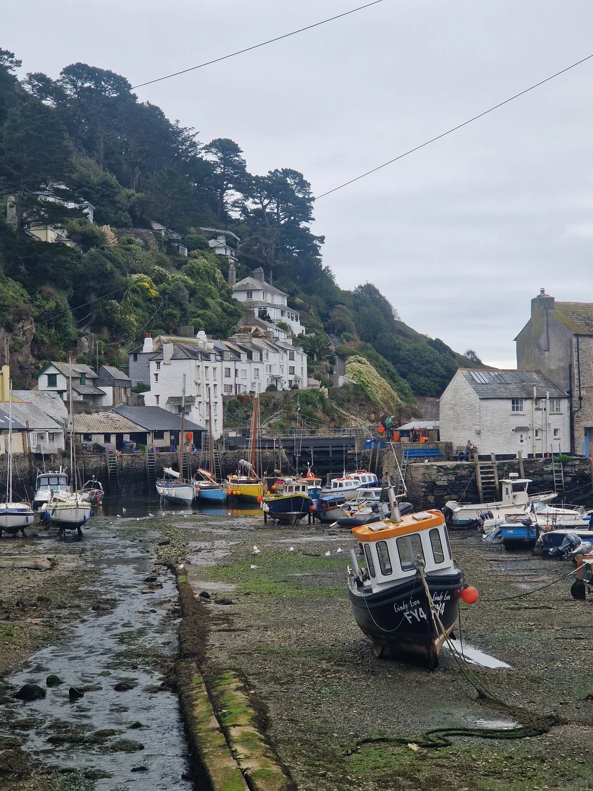
After paking up, I cycled down the hill I had camped on, into the fishing village of Polperro, for some breakfast. Foolishly, to avoid taking the same route I had taken yesterday, I tried a different way down. Somehow, that turned into a grueling climb …
Assimilating
Finally in Polperro, I tried to assimilate: I ordered tea, and something to go with it. The baker suggested a croissant.
I asked for something else.
She proposed that I have a danish.
England isn’t known for it’s pastries.
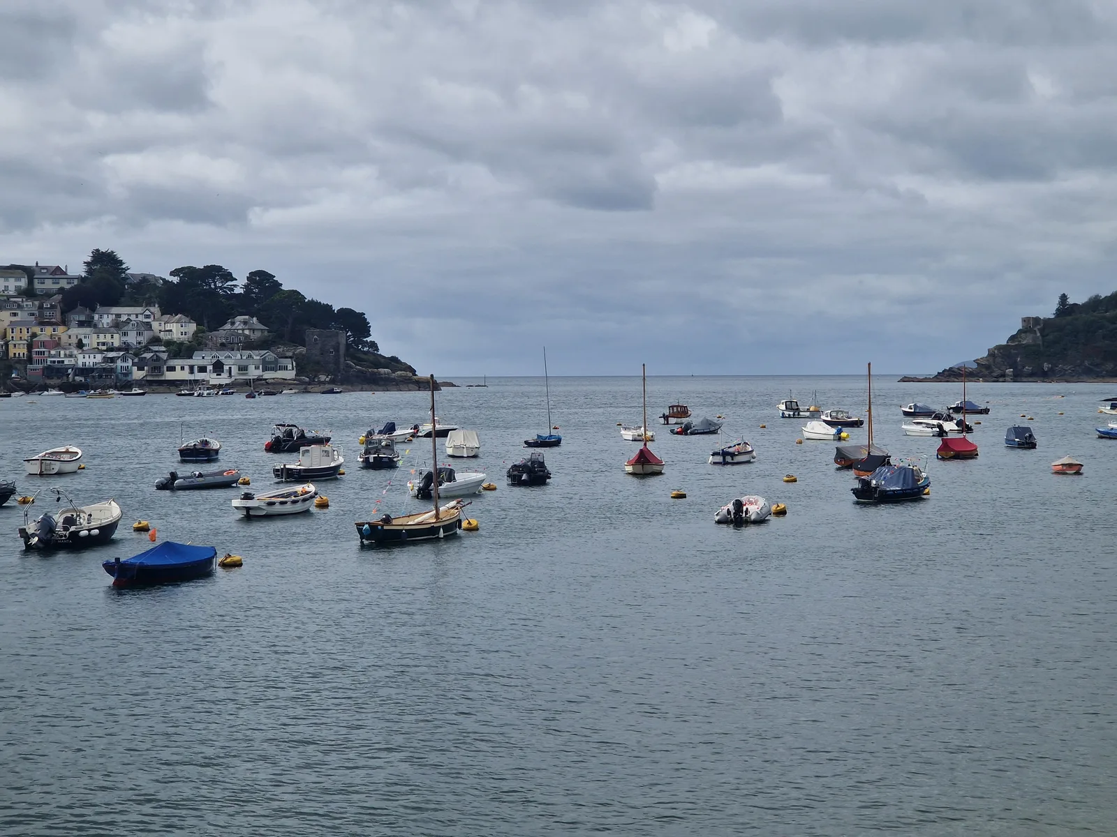
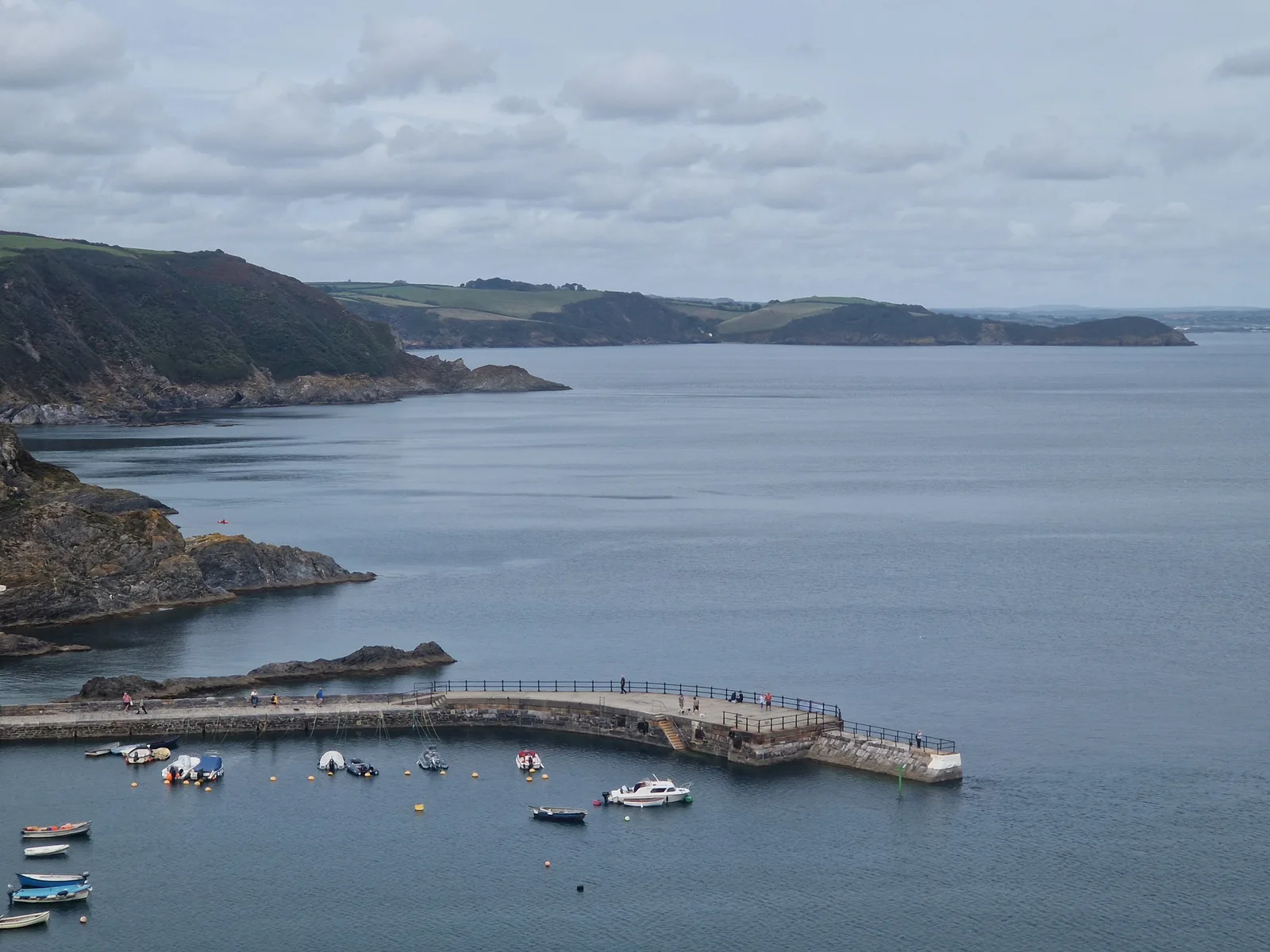
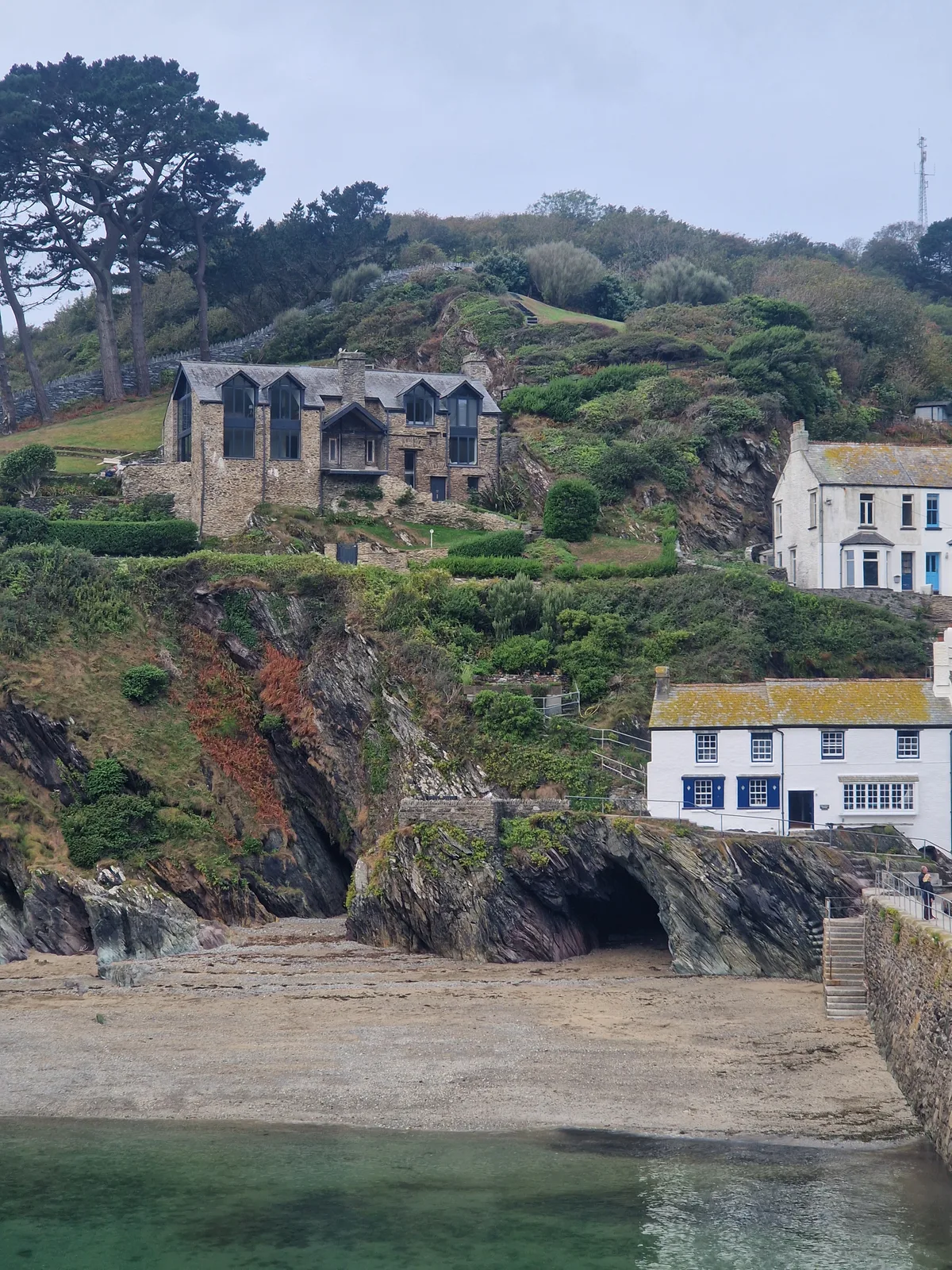
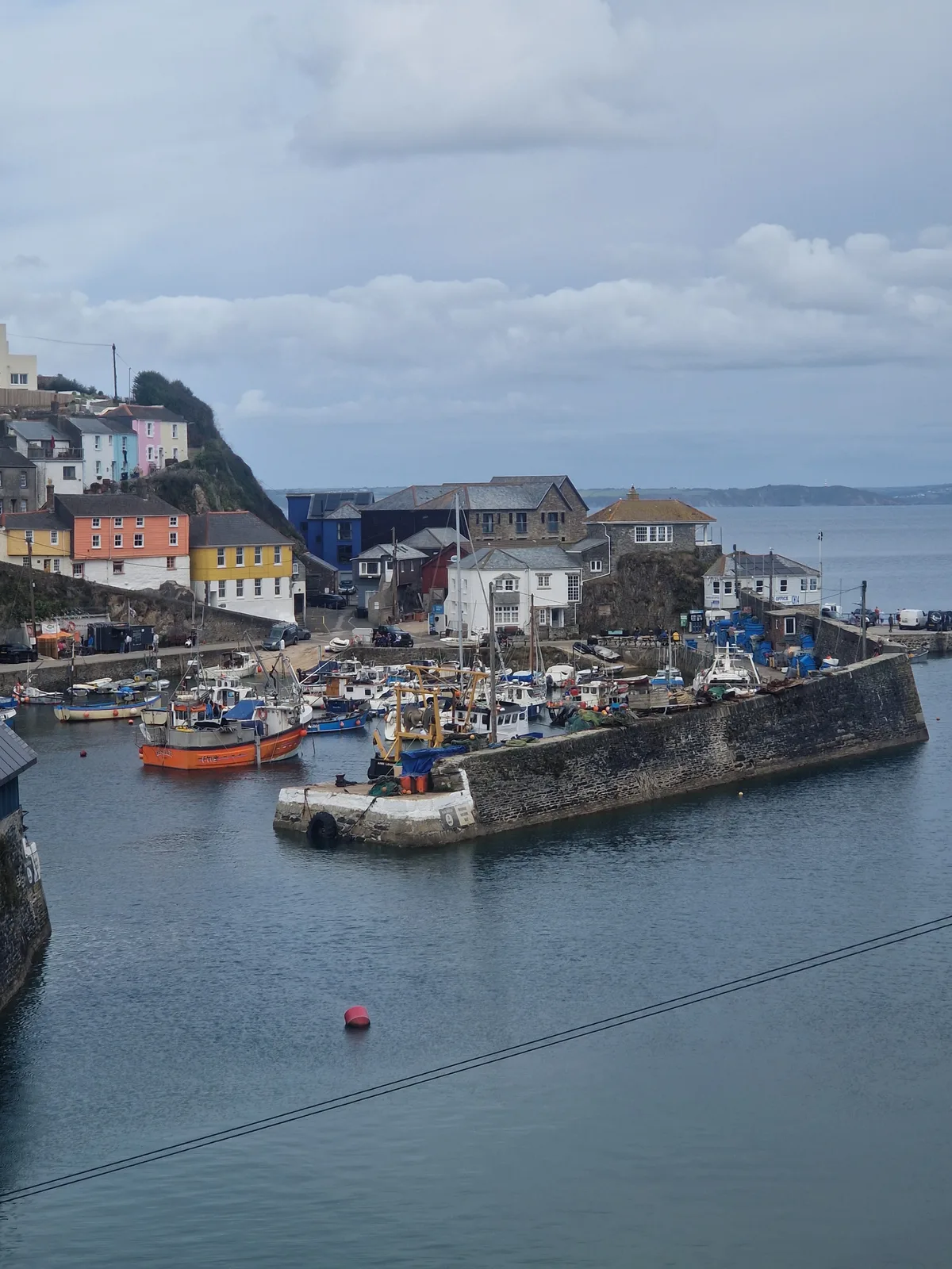
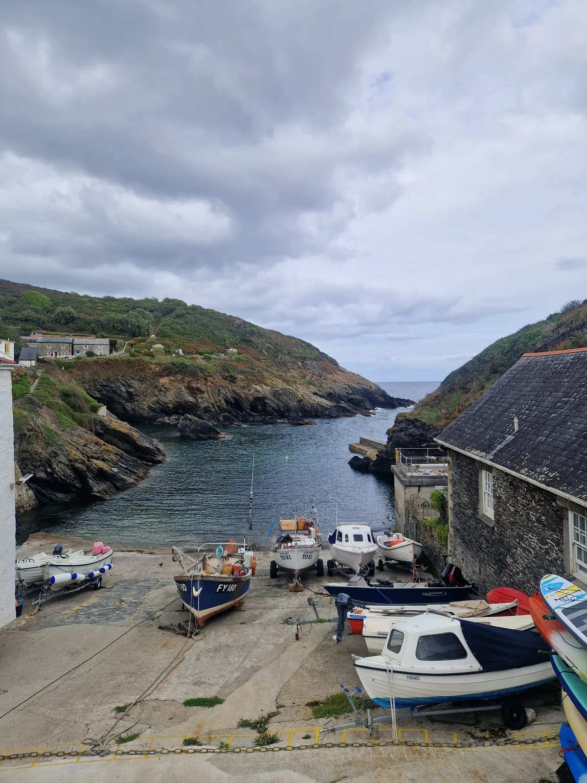
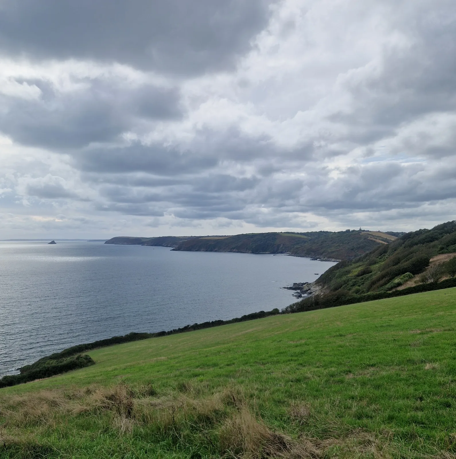
The day was a succession of beautiful seaside towns. Each one representing a long descent, followed by a longer climb back to the top of the cliffs. Each one a worthwhile detour.
For lunch, I enjoyed a tradiational Cornish steak pasty (think a pie, but folded like a calzone), still warm from the oven.
Struggling
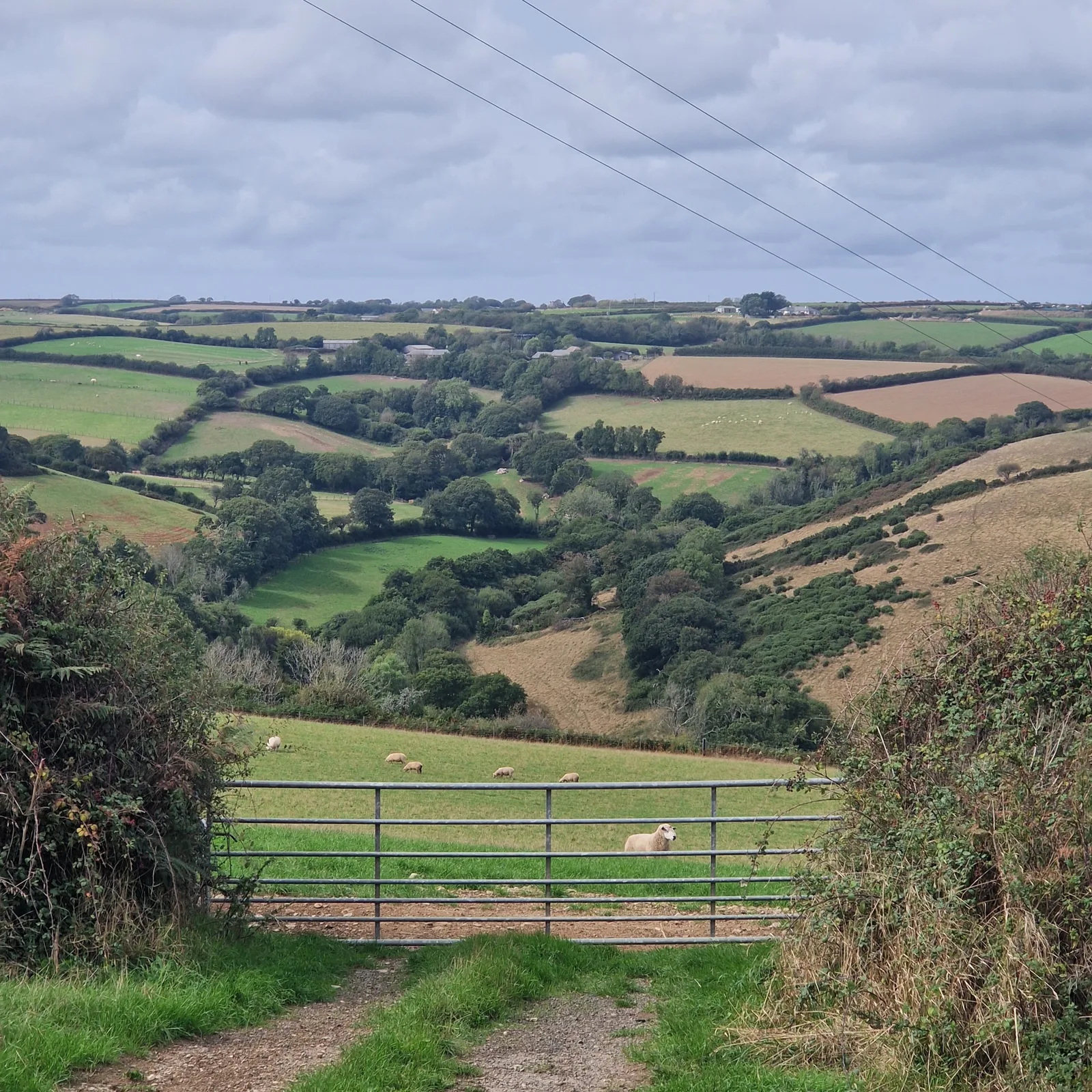
I was feeling slow. I was hoping to get 120 km down today, so that I would be in Penzance by the evening, but my progress was sluggish. Part of that was the constant detours to epxlore those pituresque towns and villages on the way, but more than anything, it was the incessant climbs.
The tall hedges along the road on the downhill sections killed visibility, forcing me to stay on the brakes, ready to react to any car that might appear on these narrow paths. More often than not, one of us would have to stop to let the other pass safely.
On the uphill sections, I quickly shifted into my biggest climbing gear and pushed. Soon, I was standing on the pedals, counting each turn of the cranks, looking only at the ground ahead of me to not get demotivated by the extent that remained to climb.
Climbing up, I was a sweaty mess. Speeding down, I needed to stop to put an extra windstop layer on.
Stopping
To cap it all off, rain was expected and I was still far from my destination.
I can cycle under the rain, but sweating in rain gear is not fun. Eventually you end up just as wet from the sweat as you would have been from the rain.
I looked at the map. I was two minutes away from an “Inn and Campsite”. After setting up my tent, and a quick shower, I had a steaming hot pie, servied with chips, in front of me.
It would rain all night, but I would be dry and fed.
In 90 km on the road, I had climbed 1900 metres. That was nearly as much elevation per kilometre as the time I had crossed the Gothard, but that was the alps, not a random stretch of coastline!
If it hadn’t been for the threat of rain, I might well have broken that elevation record …
By the numbers
- Ride Started
- 08:18
- Ride Ended
- 18:39
- Distance
- 91 km
- Time Moving
- 6h 31m
- Time Elapsed
- 10h 21m
- Elevation Gained
- 1904 m
- Distance so far
- 930 km
- Riding so far
- 51h 42m
- Elevation so far
- 8000 m