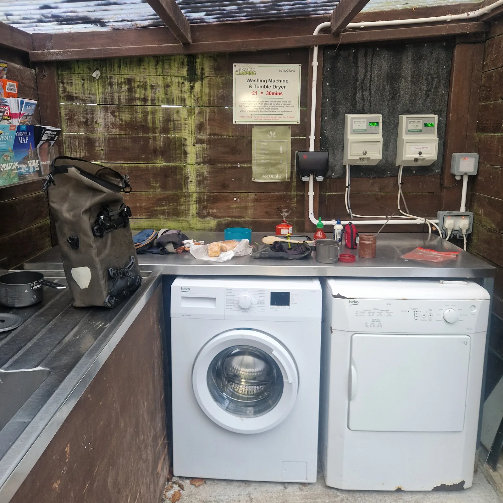
Hiding from the rain
At regular intervals throughout the night, I was woken up by the pouring rain It was a constant pelting from when I went to sleep, until the morning, when I eventually gave up and got up.
The campsite had a small, roofed, dish washing station and laundry room into which I retreated. I made coffee whilst waiting for the rain to stop. It continued, so I made a cup of tea and watched the rain drip off the roof.
There was no sense in starting to pack until the rain stopped. I would just get my gear wet.
Eventually, the rain slowed to a drizzle, so I gathered my things, and packed my bags.
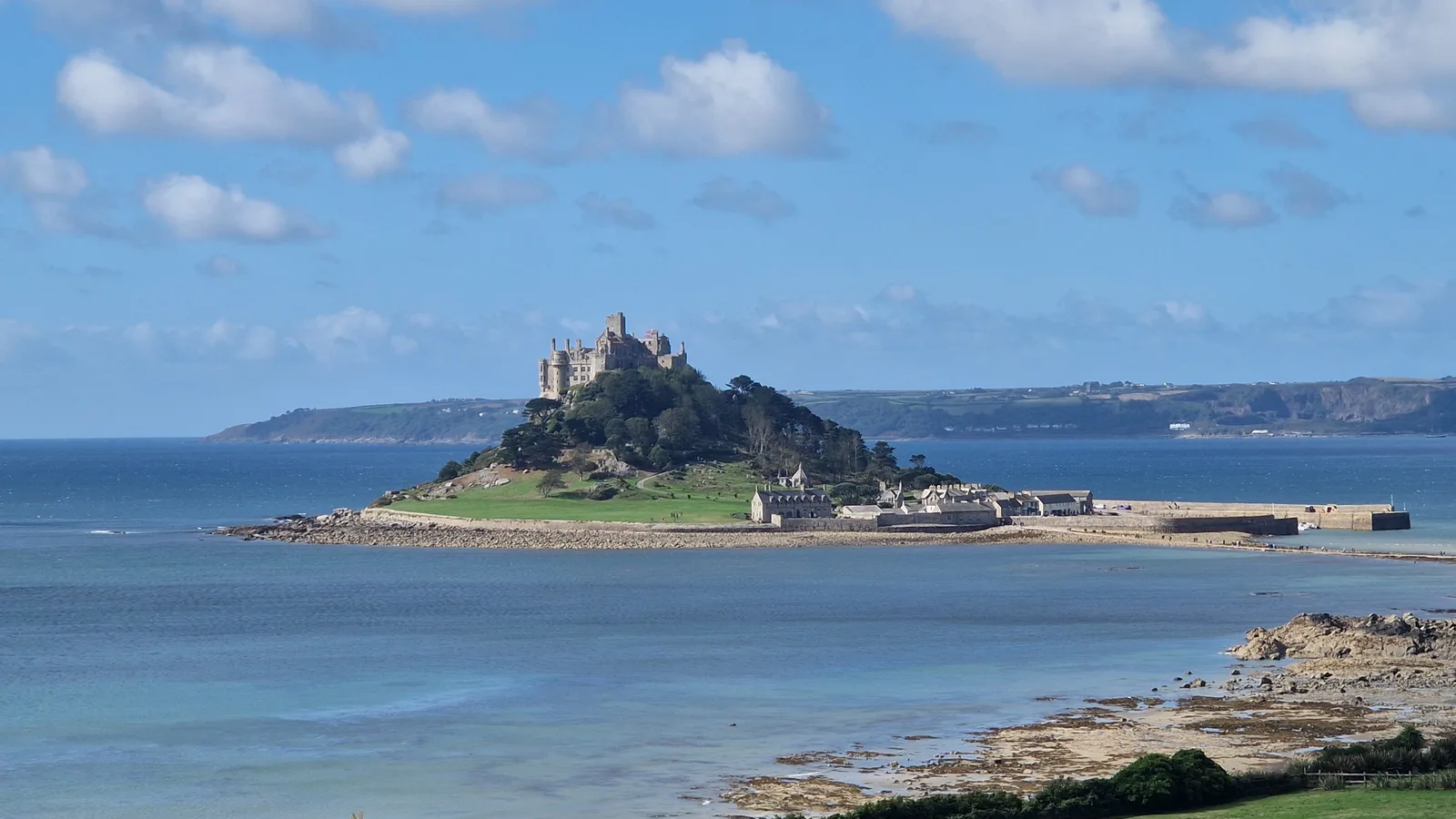
St. Michael's Mount
The road yesterday had been harsh. Long, steep climbs followed by even steeper descents. I steeled myself for another day of struggle but the hardship never came. The climbs were few and shallow.
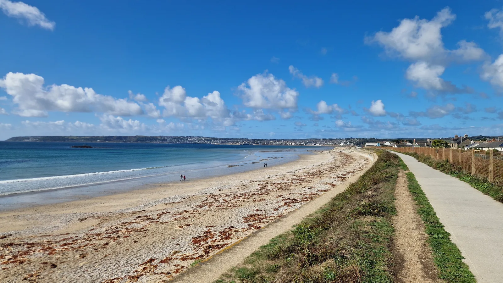
I rejoined the coast, and through a gap in a hedge I glimpsed an island: St Michael Mount. A pale copy of the original “Mont St Michel” in France. I had visited it on a trip years ago with my sisters, but I had not realised that it would be on my route.
It was a very welcome moment. Good memories from a very nice trip.
After a break to eat a cornish pasty, dry my tent and towel, and just enjoy the views of the mount. I followed the coastline to Penzance, the town I had hoped to reach yesterday evening. I didn’t mind: reaching St. Michael’s Mount in the morning gave me more time to enjoy the moment, and explore.
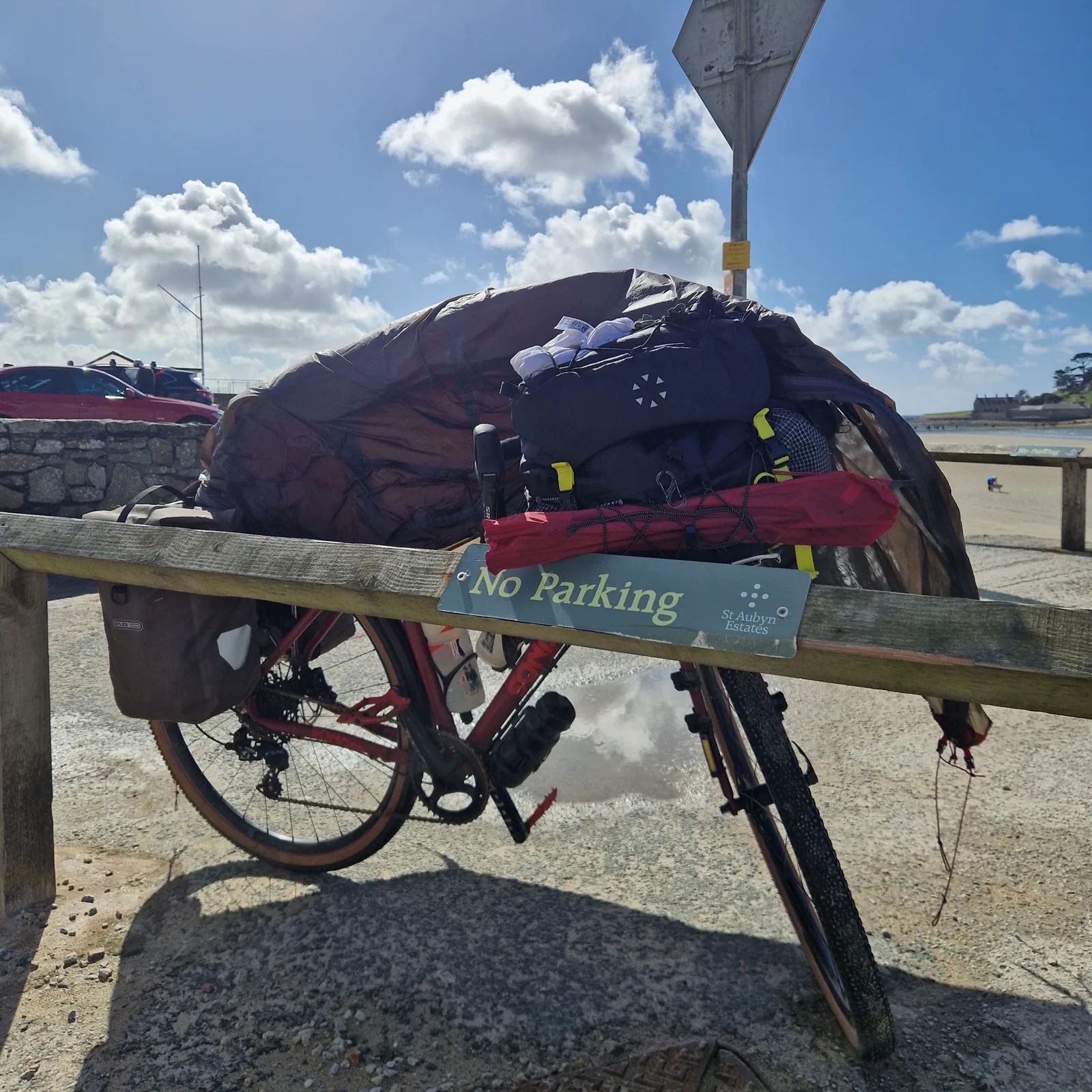
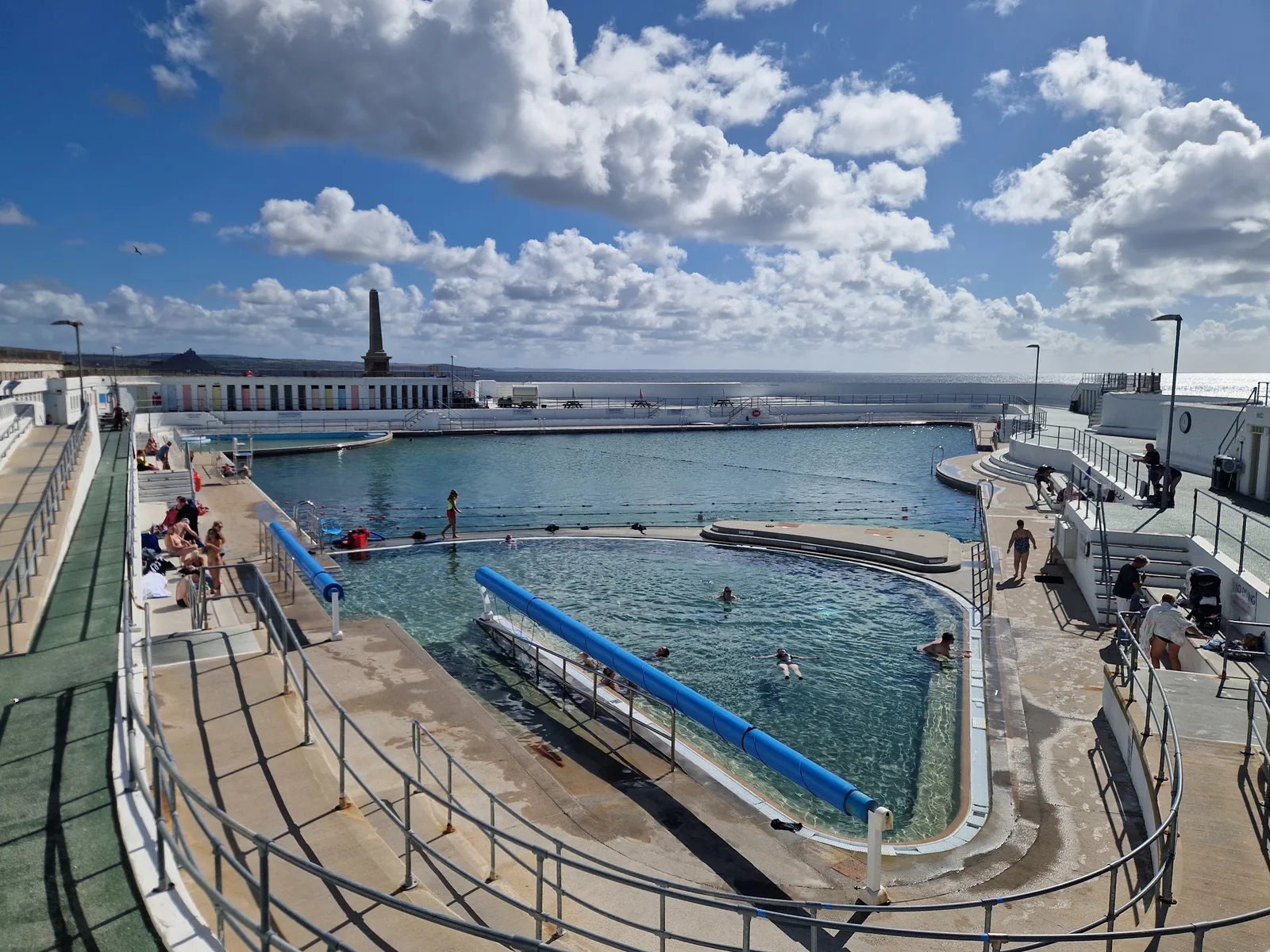
A surprise in Mousehole
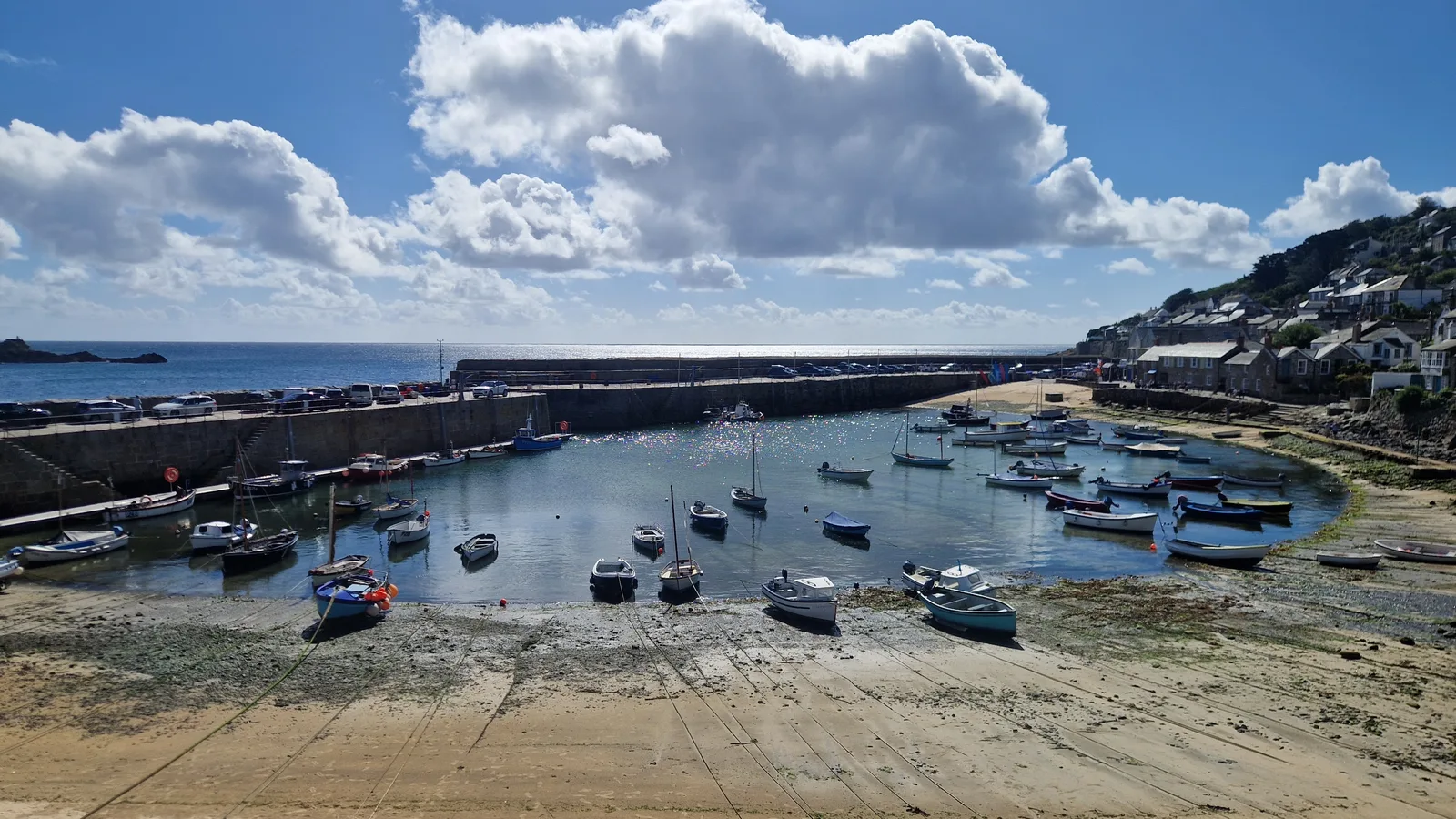
The route had taken me along the coast, through Penzance, and to a small village called Mousehole. I was intrigued by signs mentioning a telegraph cable.
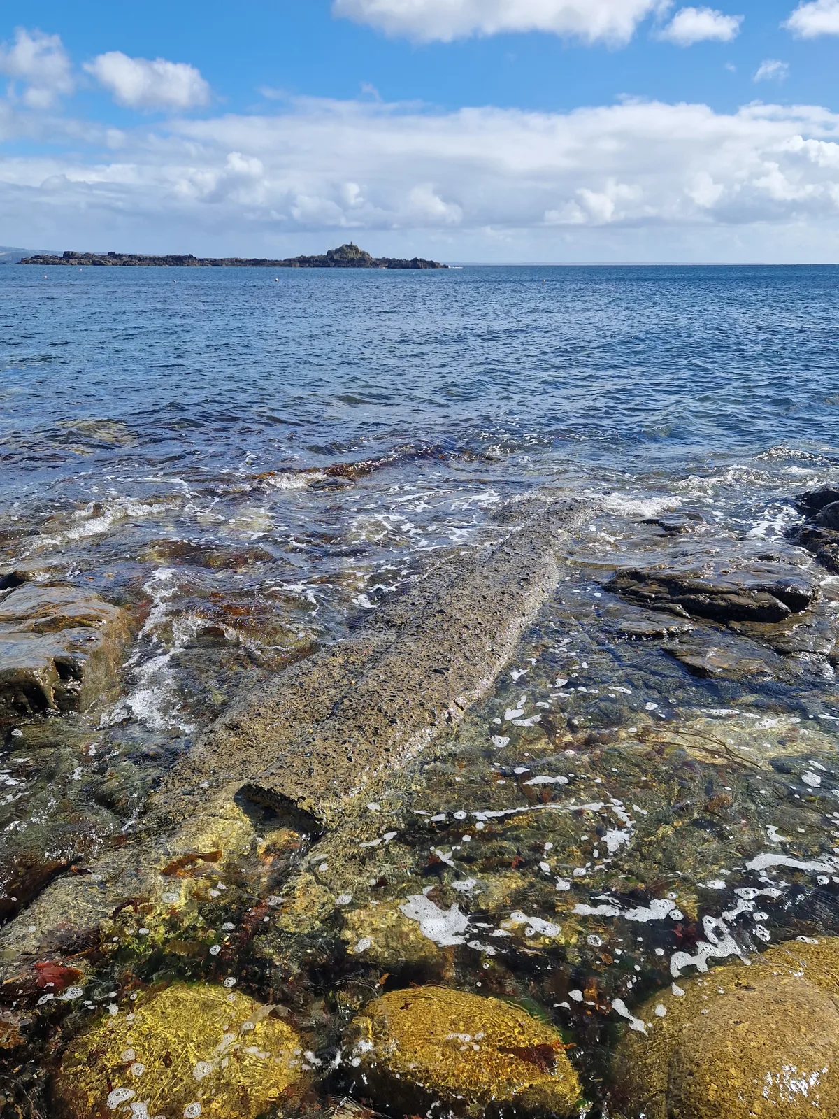
One of the reasons for this trip, and the reason I was headed to Lands End was to visit the Museum of Global Communications in Porthcurno where the first trans-atlantic telegraph cable terminated. Yet, here I was in a village I had never heard of, staring a concrete casing, through which, in between waves, I could make out the shape of a telegraph cable …
Now that I’m home, I can do a bit more research on these cables. Two cables land in Mousehole, “Imperial Cable Number 1” and “Imperial Cable Number 2”.
The first one was originally laid by the Germans, connecting Emden (Germany) to New York. At the outbreak of the war, it was located by the English and cut. In 1917, it was located again, and the ends were re-routed to connect Mousehole to Halifax (Canada). In the Treaty of Versailles, the cable is mentioned explicitly, as a prize of war.
The second cable was originally laid in 1874 between Ireland and Halifax, but was sold to the English government in 1922 and re-routed from Ireland to Mousehole.
To learn more about these cables, The Imperial Cables at Mousehole on youtube has additional details.
The end of the road
After a flat stretch along the coast, my route was taking me inland again, and inland meant more climbs. As I was looking for a way out of Mousehole, I passed a group hikers, and I stopped for a chat.
Back on the road, I could feel the wind growing. The tall hedges that line the roads felt claustrophobic and offered scant protection. Instead it seemed as if they just funneled the wind onto the road, and into my path.
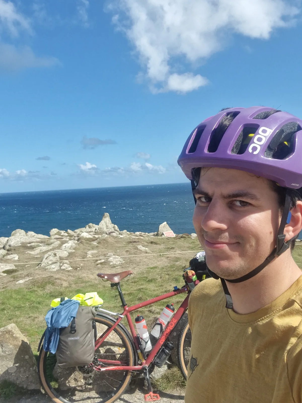
Finally, I caught a glimpse of it: Lands End! The literal end of the road. I rode as far as I could, and propped by bike up against a rock. It was selfie time.
After a few minutes to catch my breath and enjoy the view, and the achievement of my journey so far, I climbed onto my bicy le again, and enjoyed the blissful feeling of no wind, as I rode back up to the road.
Such a soothing feeling knowing that, for once, the wind was pushing me along.
My next step was the museum in Porthcurno. The landing site of no less than 14 communications cables. Today it hosts a museum, retelling the story of early “telegraphists” and the technology that took us to the fibre optic cable. Tom Scott, the English youtuber, made a video about these cables.
Satisfied, I went to my campsite, just up the hill, overlooking the sea.
It was windy.
By the numbers
- Ride Started
- 09:41
- Ride Ended
- 14:27
- Distance
- 61 km
- Time Moving
- 3h 33m
- Time Elapsed
- 4h 46m
- Elevation Gained
- 720 m
- Distance so far
- 991 km
- Riding so far
- 55h 16m
- Elevation so far
- 8720 m