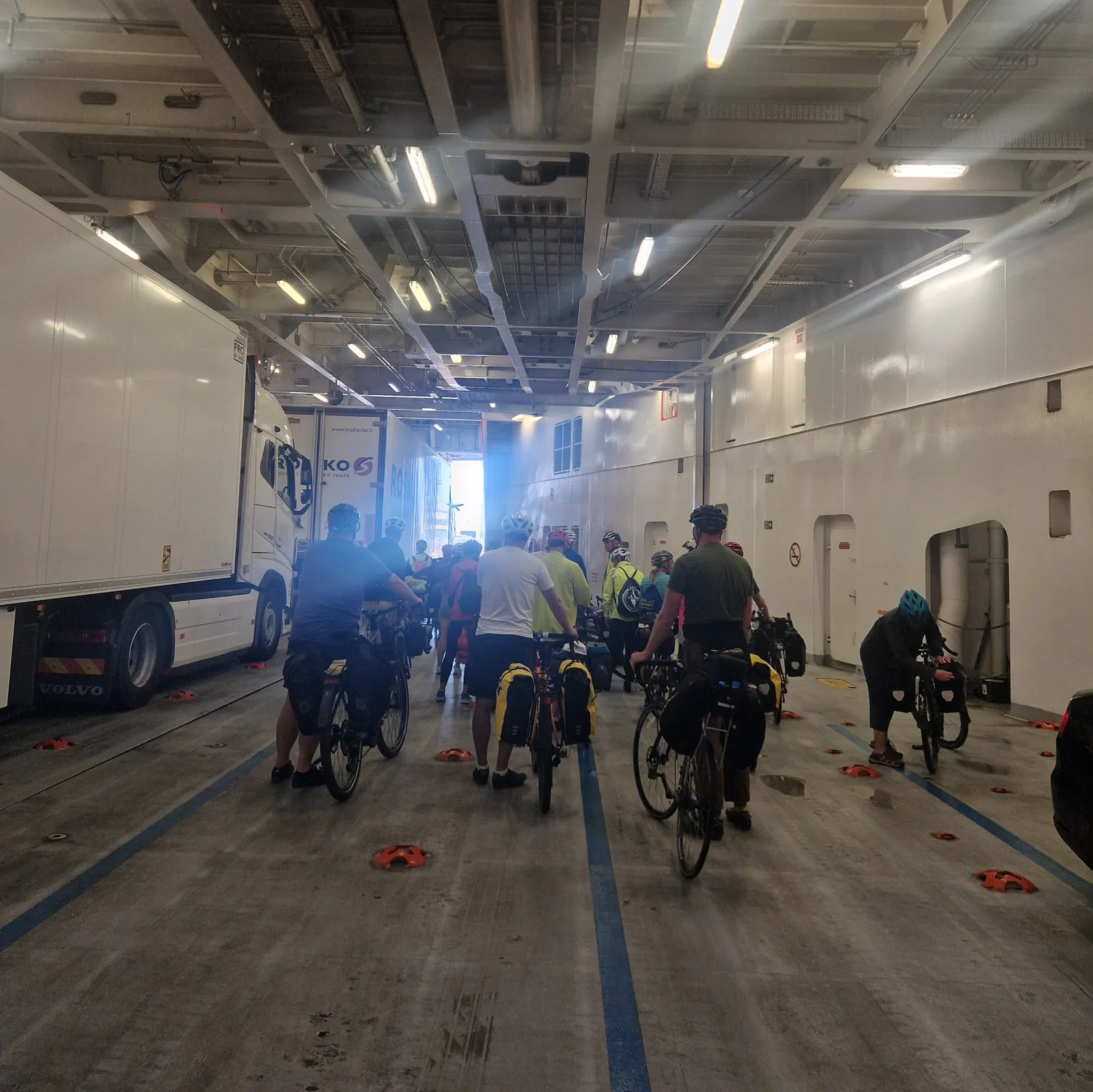
England, at last!
I nearly didn’t make it. With Brexit, and the ever growing divide between the continent and the isles, you now need an Electronic Travel Authorization (or ETA) to enter the United Kingdom.
I had just imagined that I would sidle up to the border post, pay the fee, and get my passport stamped. Alas! You must have an an ETA to enter the country and I nearly forgot to get one.
Thankfully, processing of my application was quick (three days), and I was able to cross the channel without issue.
First contact
Before leaving Plymouth, I decided to explore the town a little.
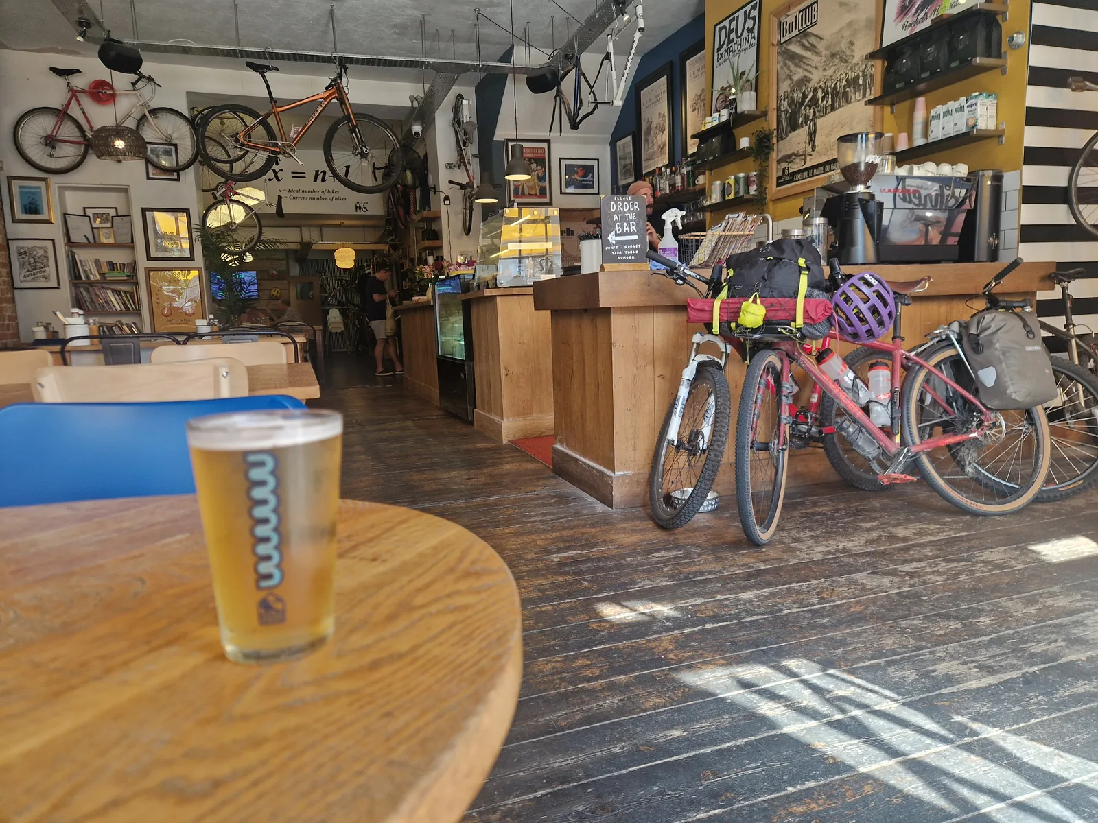
A friendly chap pointed me to “Rockets & Rascals” a bicycle-cafe where I was able to check my tire pressures, and have my first English lager. It was fine. Nothing to write home about, but at least it wouldn’t get me drunk.
I had another reason for looking for cafe. In my usual excessively prepared fashion, I had neglected to download the map of southern england into my GPS. Usually this wouldn’t be an issue: most countries are nicely broken down into regions and you only need to download the parts that you need. Not so for England, I had to download the entire country! I needed to find a place with Wi-Fi where I could download a couple of gigabytes of road data …
Exploring
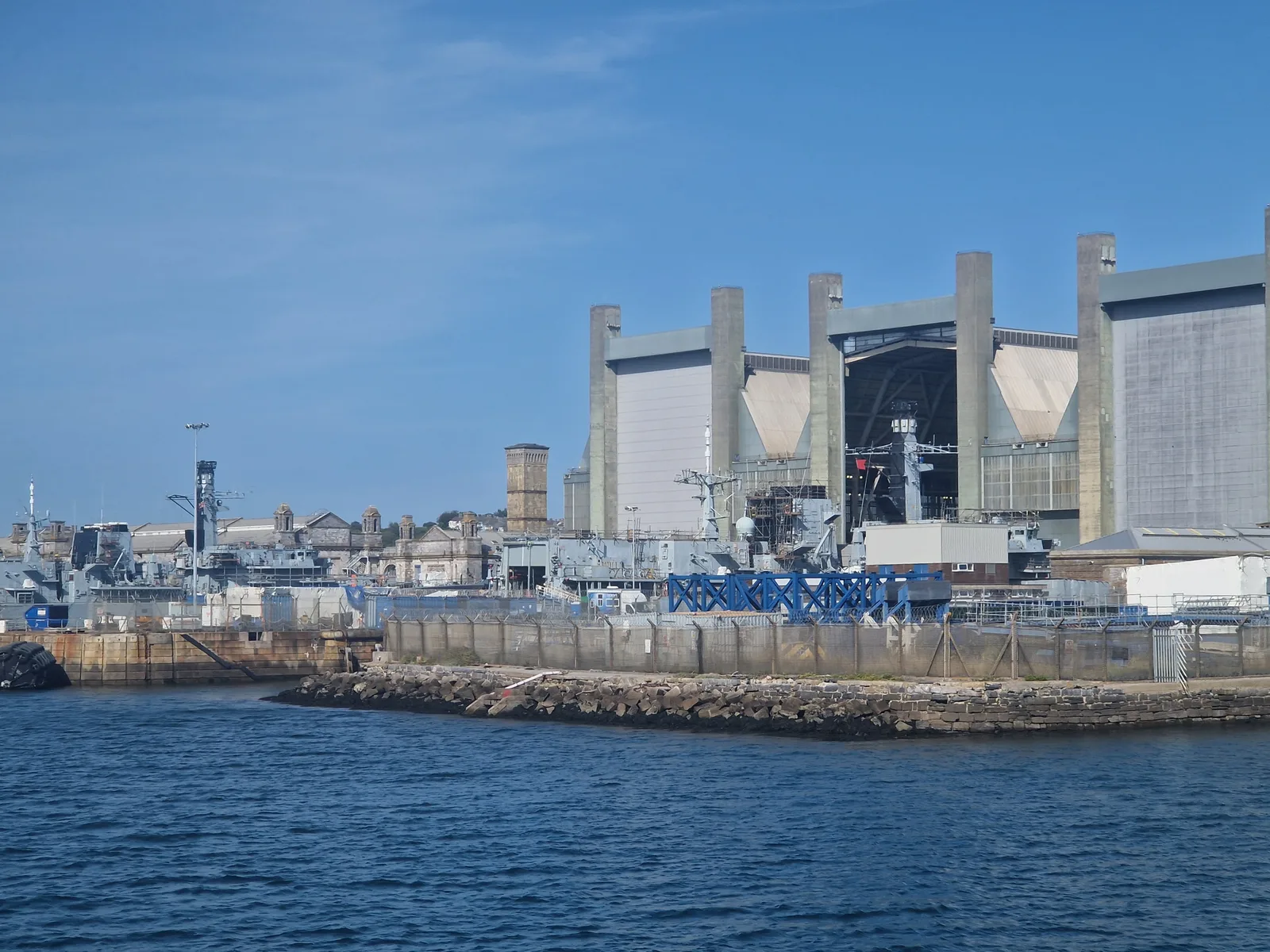
Somebody who knew Plymouth a little better might have told me not to waste my time exploring too much. The sea-front is quaint, and the port area is typical, but behind that is just a regular uninspiring English city. High street shops, ugly signage, and row houses. There wasn’t much to see.
There was some hint of an urban revival, so maybe things will improve, but today, it was unispiring.
Roscoff is small. A very brittany seaside village with a small town centre, and large suburb of holiday homes. Plymouth is a big industrial town, with a large naval base and all the support facilities that go with it.
It was time to leave.
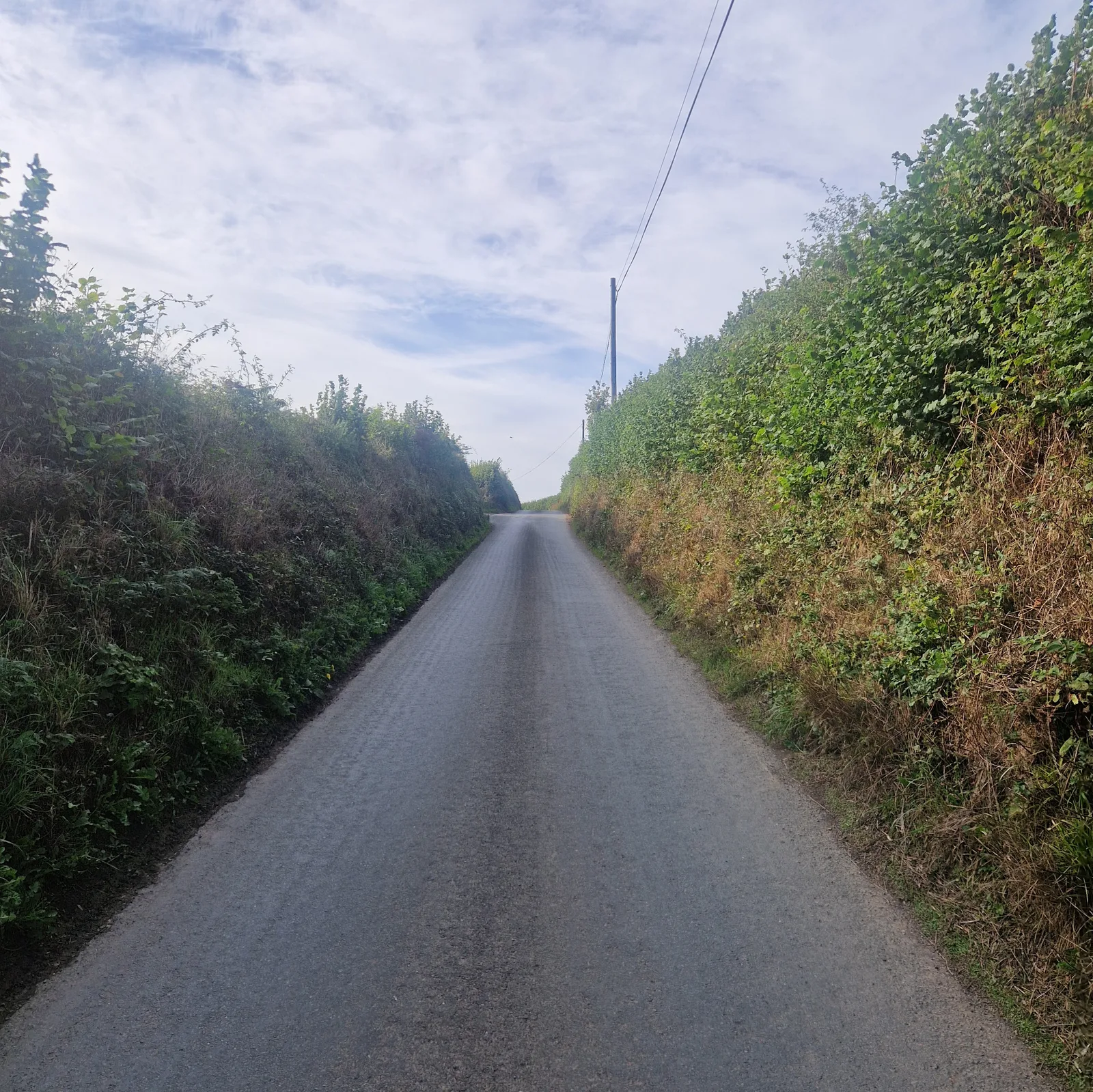
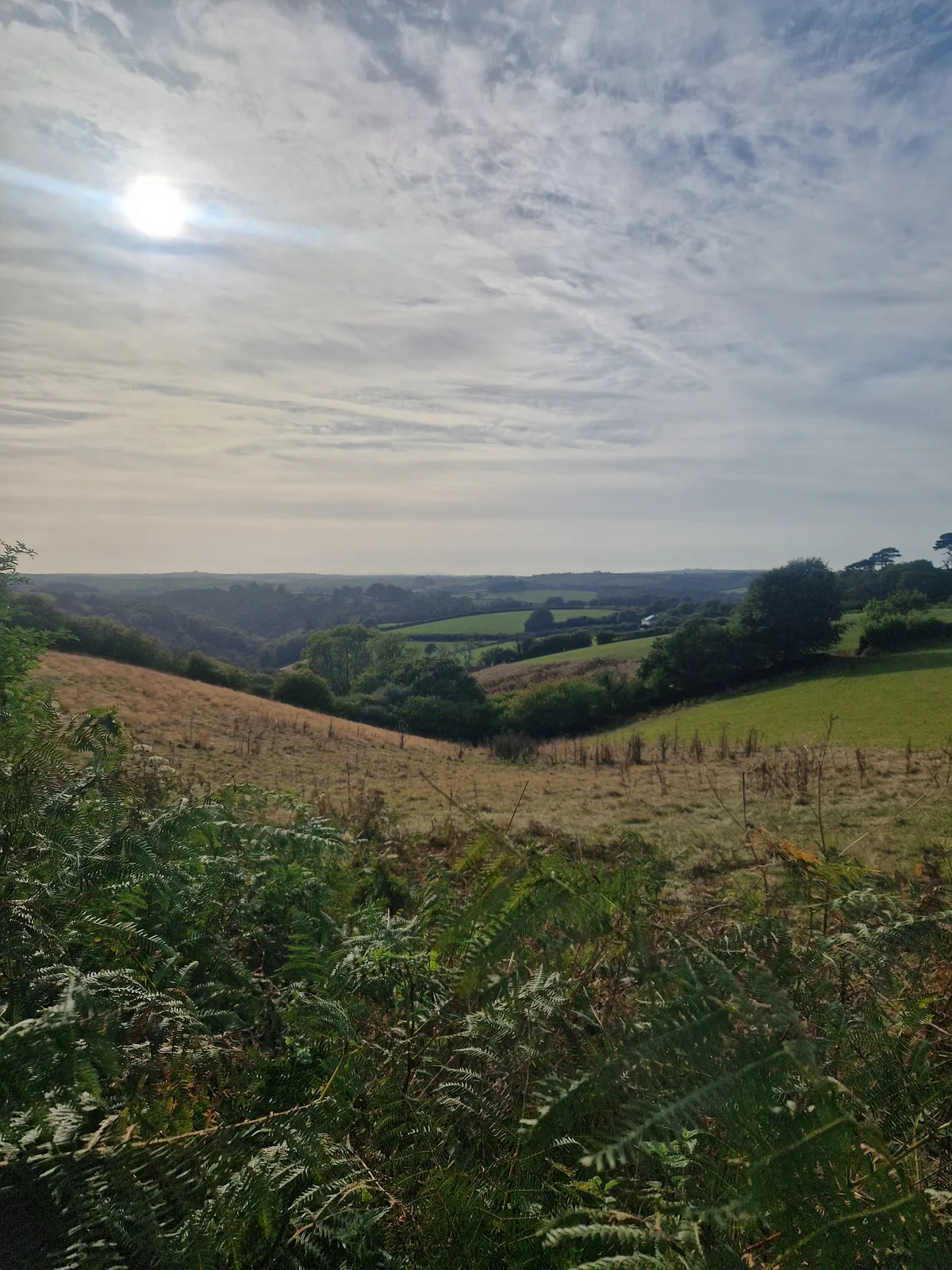
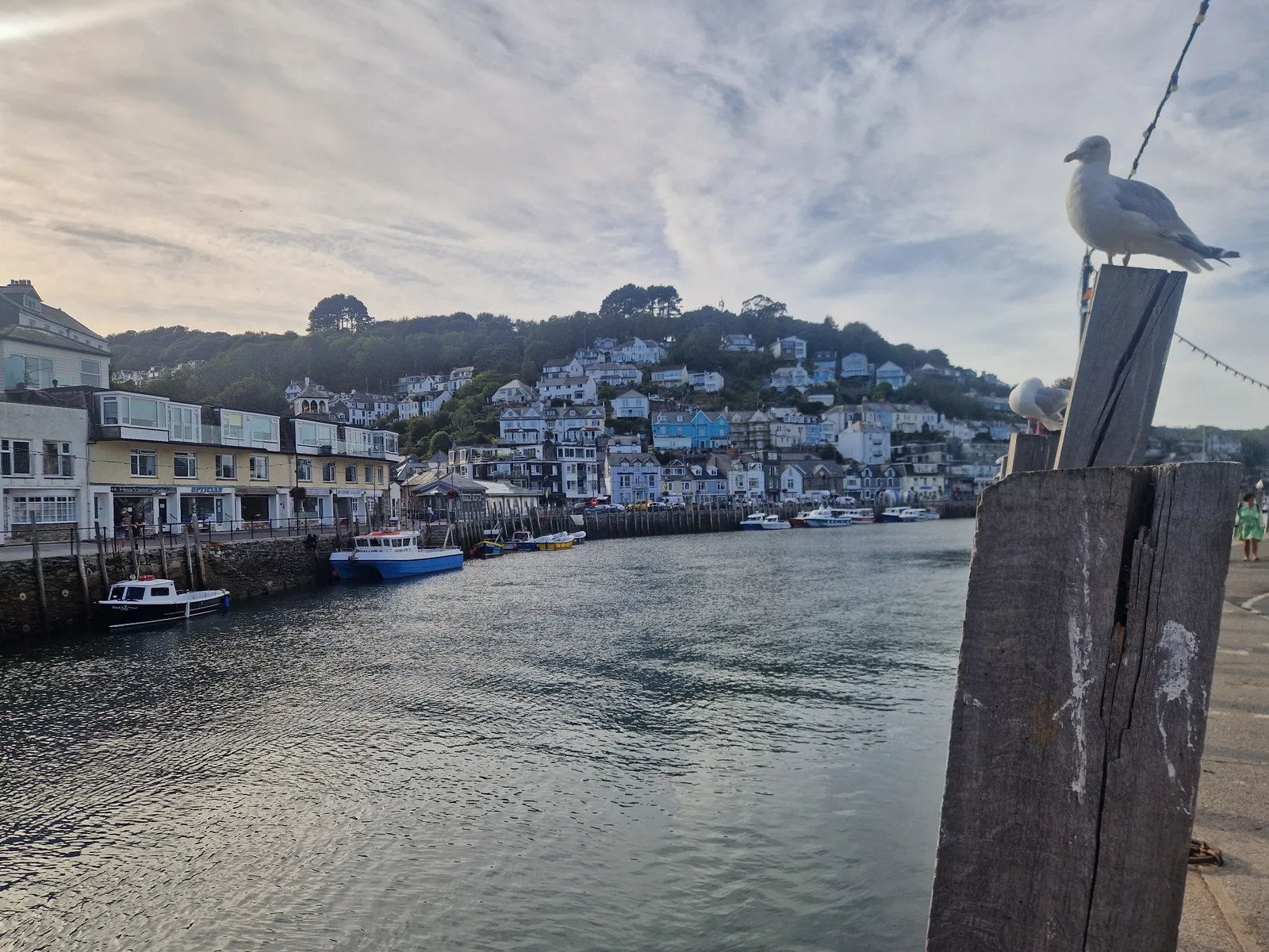
Oh no, hills!
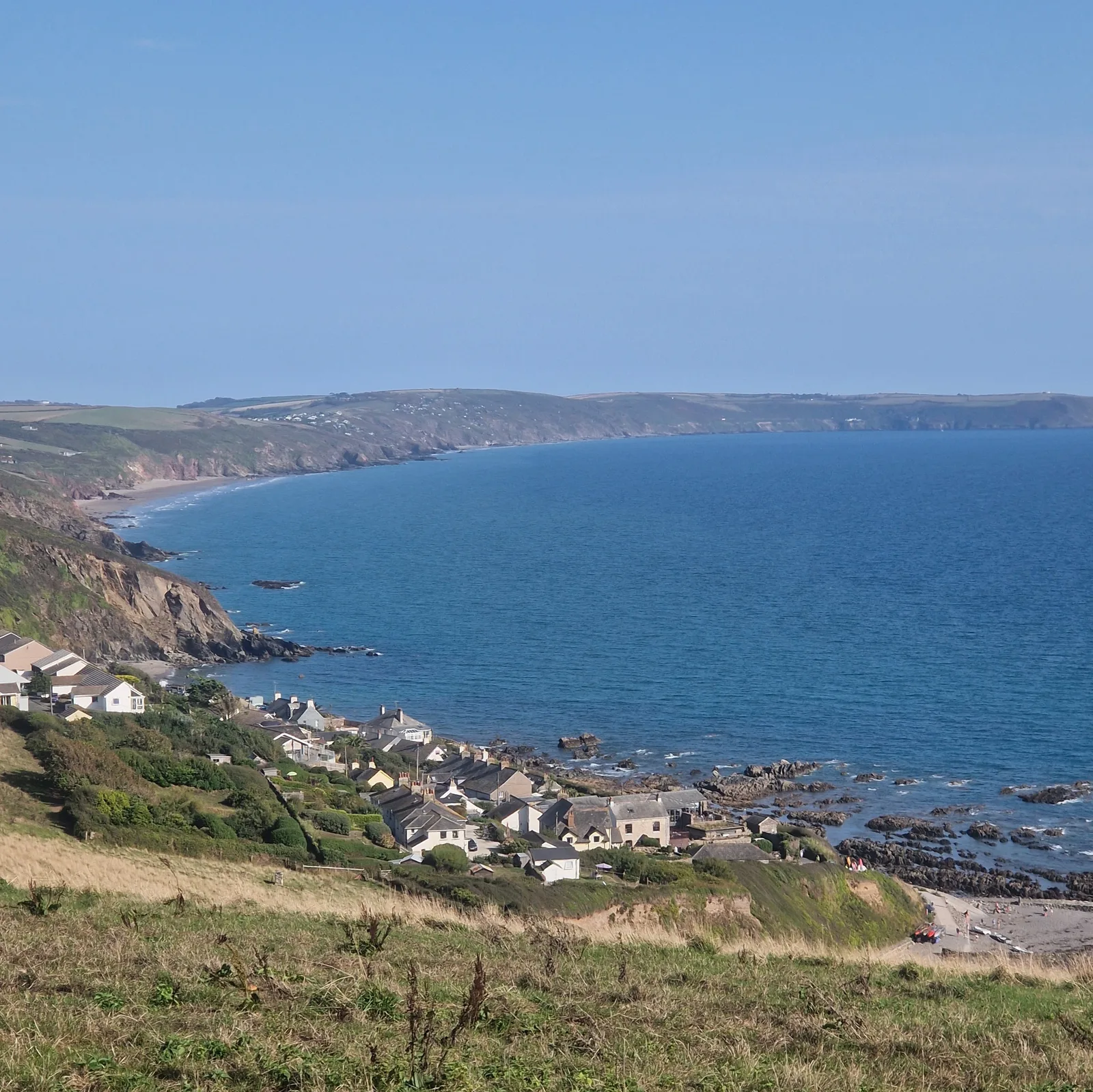
On the trail again, I discovered that I really should look at the map in more detail when I plan trips. I was not ready for the elevation. It was climb after climb. Each climb followed by a steep descent. I was either worried about the state of my brakes, or out of the saddle, straining to climb uphill.
The views were fantastic. PIcutre-perfect green grasslands, the occasional town nestled in a valley along the coastline. Of all the places I’ve cycled, it might rank second, just behind the Swiss Alps, mostly because, somehow, I did less elevation per kilometre whilst crossing the Swiss Alps!
I found a place to camp; on top of a hill. I’m not that smart.
By the numbers
- Ride Started
- 14:00
- Ride Ended
- 18:42
- Distance
- 48 km
- Time Moving
- 3h 27m
- Time Elapsed
- 4h 42m
- Elevation Gained
- 931 m
- Distance so far
- 839 km
- Riding so far
- 45h 11m
- Elevation so far
- 6096 m