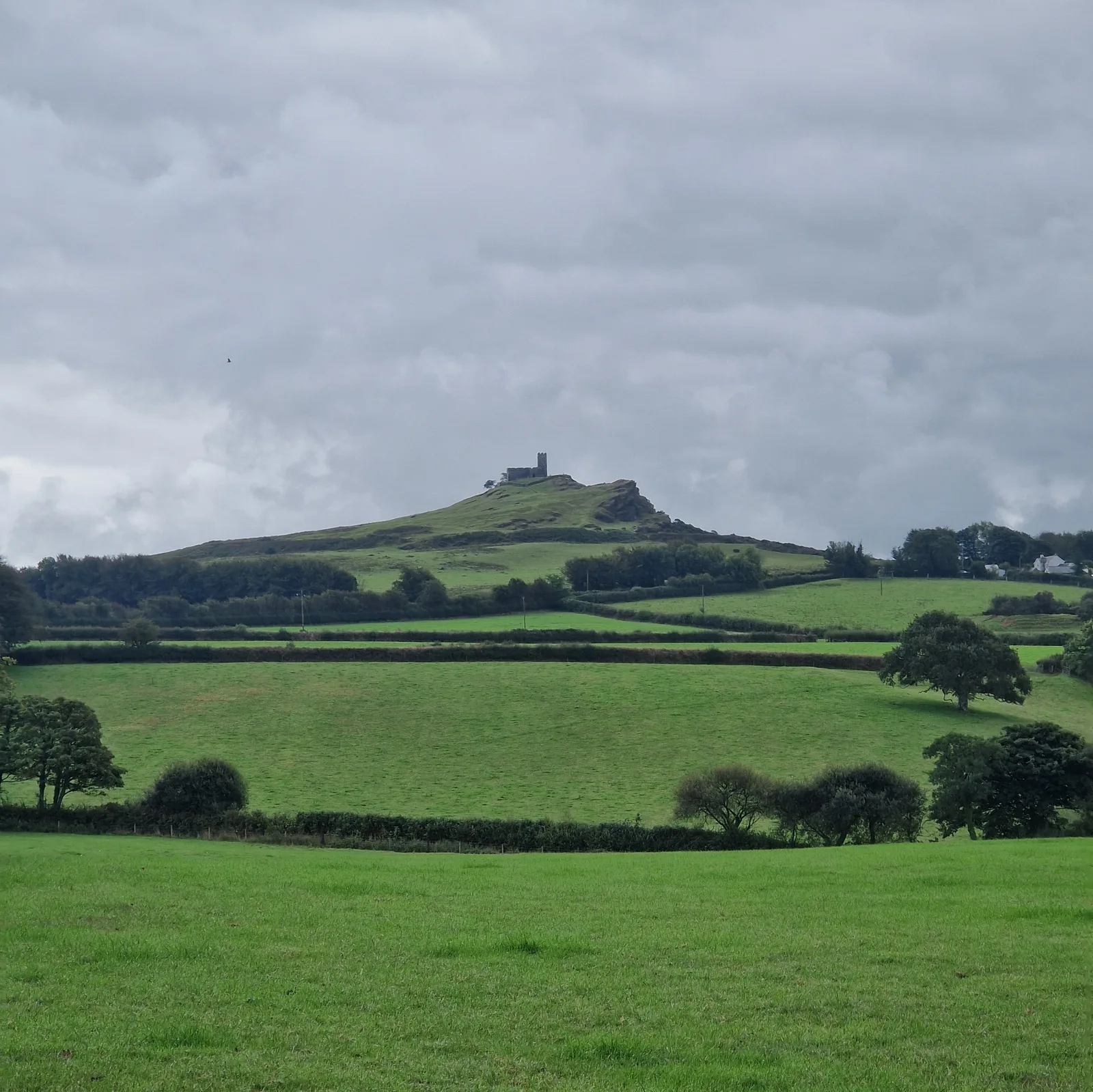
A castle, on top of the tallest hill in the area. I wondered what the view would be like from up there.
Before leaving camp, I stopped to say goodbye to my neighbours. They warned of the Devon hills. I’d hoped that Cornwall would be the end of the hills.
I was mistaken.
The road immediately turned into a series of harrowing climbs. Each time, I would stand up, out of the saddle, and put all my weight on the pedals, grinding my way uphill. The bicycle really wasn’t geared for these hills.
Some climbs were self inflicted. I saw a castle, standing watch from the summit of a hill, and as I debated getting closer, I knew what the answer would be. Of course I would climb that hill and explore the castle.
18 km
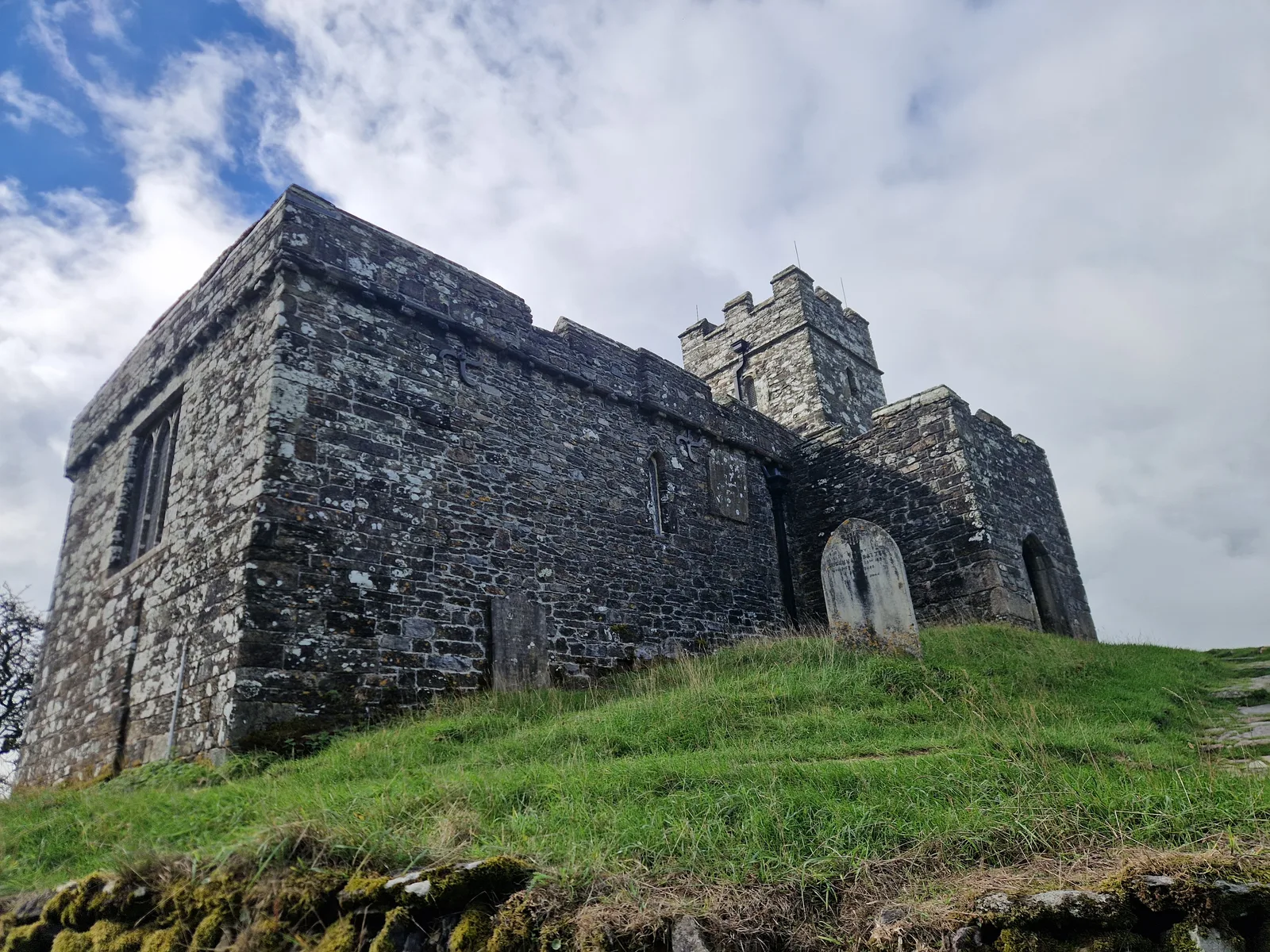
From afar, it looked like a castle, but up close, behind the crenelations, it’s a church.
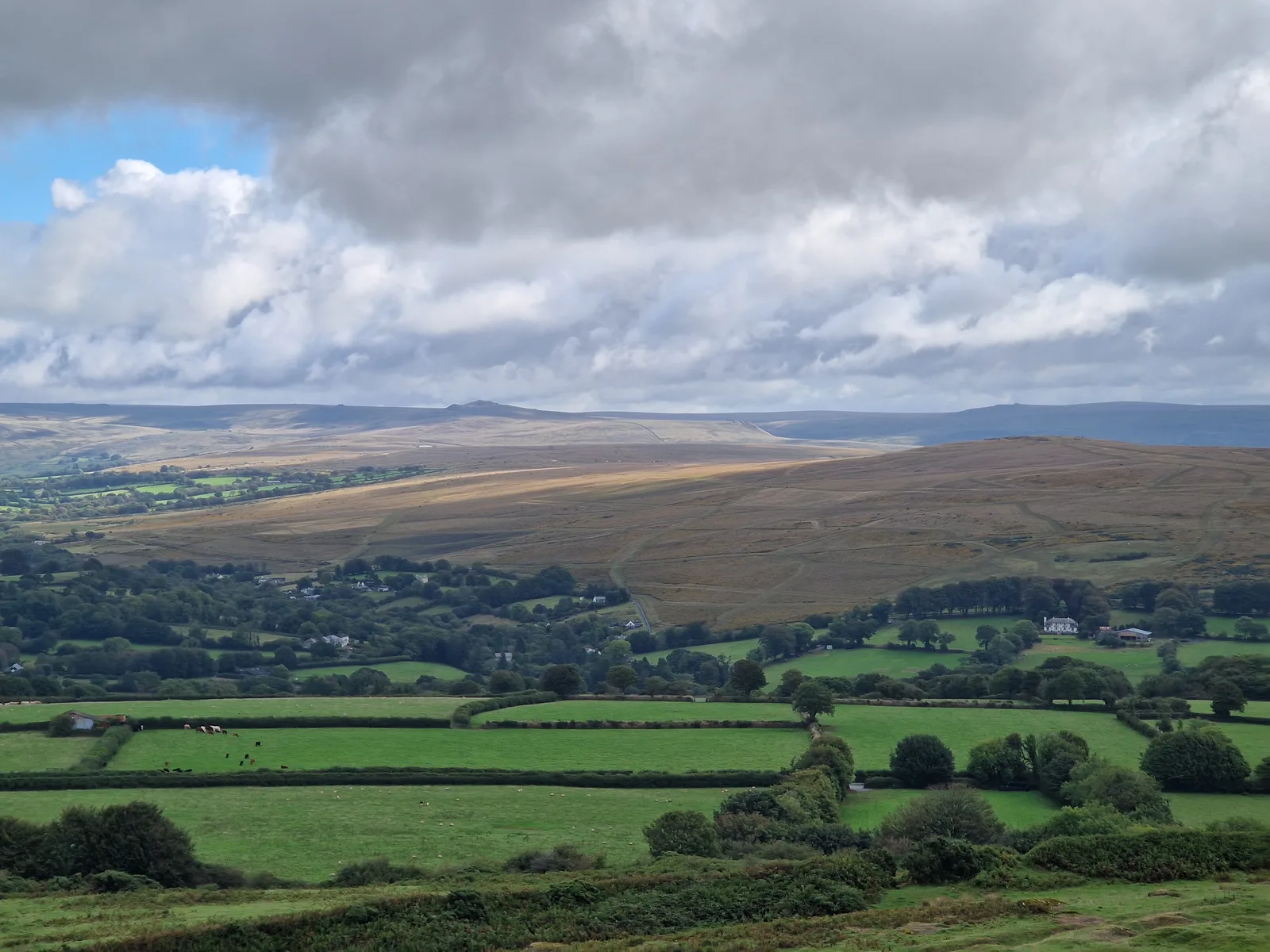
The view from “St. Michael’s de Rupe”, looking towards Bleak Dartmoor (to quote an often-used qualification of Dartmoor).
St. Micheal de Rupe
It wasn’t a castle but the Brentor Church of St. Michael de Rupe, perched on a rocky outcropping on top of the hill. The church is still used for weekly services, and considering the climb up to the church, this must be a very fit parish!
I was pleased by this wholly original thought, until, whilst researching the church for this piece, I found the following citation. Somebody beat me to the punch!
They make weekly atonement for their sins: for they can never go to church without the previous penance of climbing up this steep.
—Richard Polwhele, History of Devonshire, 1806 [1]
I had initially assumed that the crenelations were defensive, and that the church was used as a refuge from brigands, but it may be that this was just the fashion in the 13 and 14th centuries when most of the current structure was built.
A spooky disappearance
As I reached the platform at the top of the hill, a woman walked out from behind the building, talking on her phone. She nearly tripped on a particularly exposed section, scaring herself a bit, before walking back around to the opposite side.
When I reached the church, she was gone.
I walked around the church one way, then the other without finding her.
I back around and into the church, but still could not find her.
I walked back outside, and looked for paths back down the hill, but still could not see her.
Had I just seen a ghost?
The mystery would remain; unsolved.
30 km
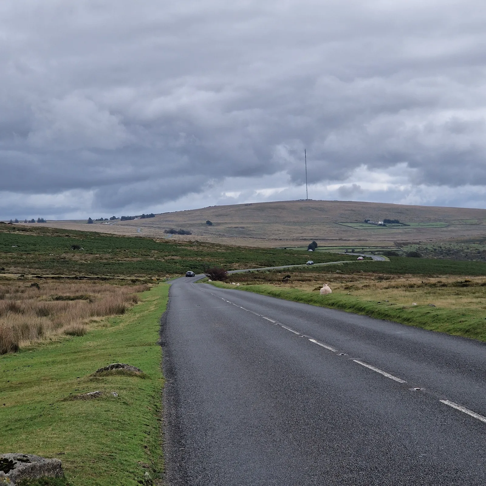
A small part of the climb in the Dartmoor.
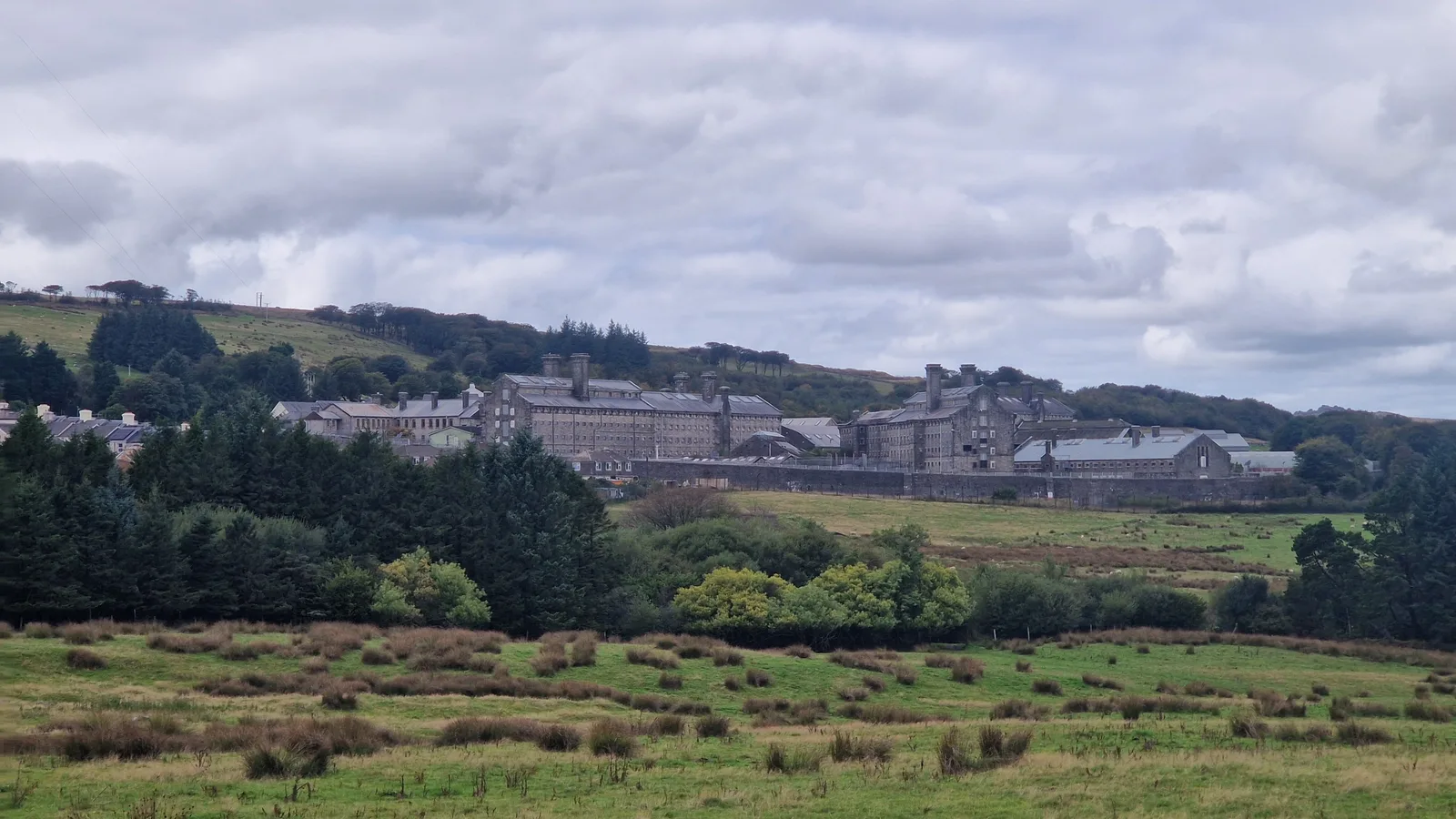
Dartmoor prison, apparently a more lucrative endeavour than farming in the 1800s. It initially hosted French prisoner of war, the American. The barren, misty and wind-swept moorland was a formidable barrier for any potential escapee.
Dartmoor Prison
I was approaching Dartmoor. A vast barren expanse. My GPS announced the bad news: I had a 500 metre climb ahead of me.
The end of the climb was the village of Princeton, significantly less prestigious than it’s North American cousin. The town had been founded as an agricultural settlement by a “Thomas Tyrwhitt”, private secretary to the Prince of Wales, but the agrarian dream had failed. Instead he had turned to a more lucrative crop: prisoners.
Even more lucrative if the prison was built, with government money, with rock from a quarry he owned! [2]
The prison was initially built to house French prisoners of war, and conditions were harsh. The facility was an improvement over the previous arrangement — holding the soldiers in derelict shipes — bu the food was sub-par, and the roof leaky.
The situation did not improve when war broke out between England and the United States. American sailors, captured in the hostilities were also packed into the prison, worsening the overcrowding.
Overall, some 1200 Frenchmen, and at least 270 Americans, would be buried on the prison grounds.
They were followed by Americal prisoners of war, but by 1815 all the prisoners had been returned, and the prison was empty. In 1851, it was re-opened for civilian convicts, and developed a reputation for housing “the worst of the worst”. Escapes led to massive man-hunts in the moors.
Conditions in the prison did not improve with age. Even though it was converted in the early 2000s to house less-violent offenders, reports highlighted the overpopulation of the prison.
39 km
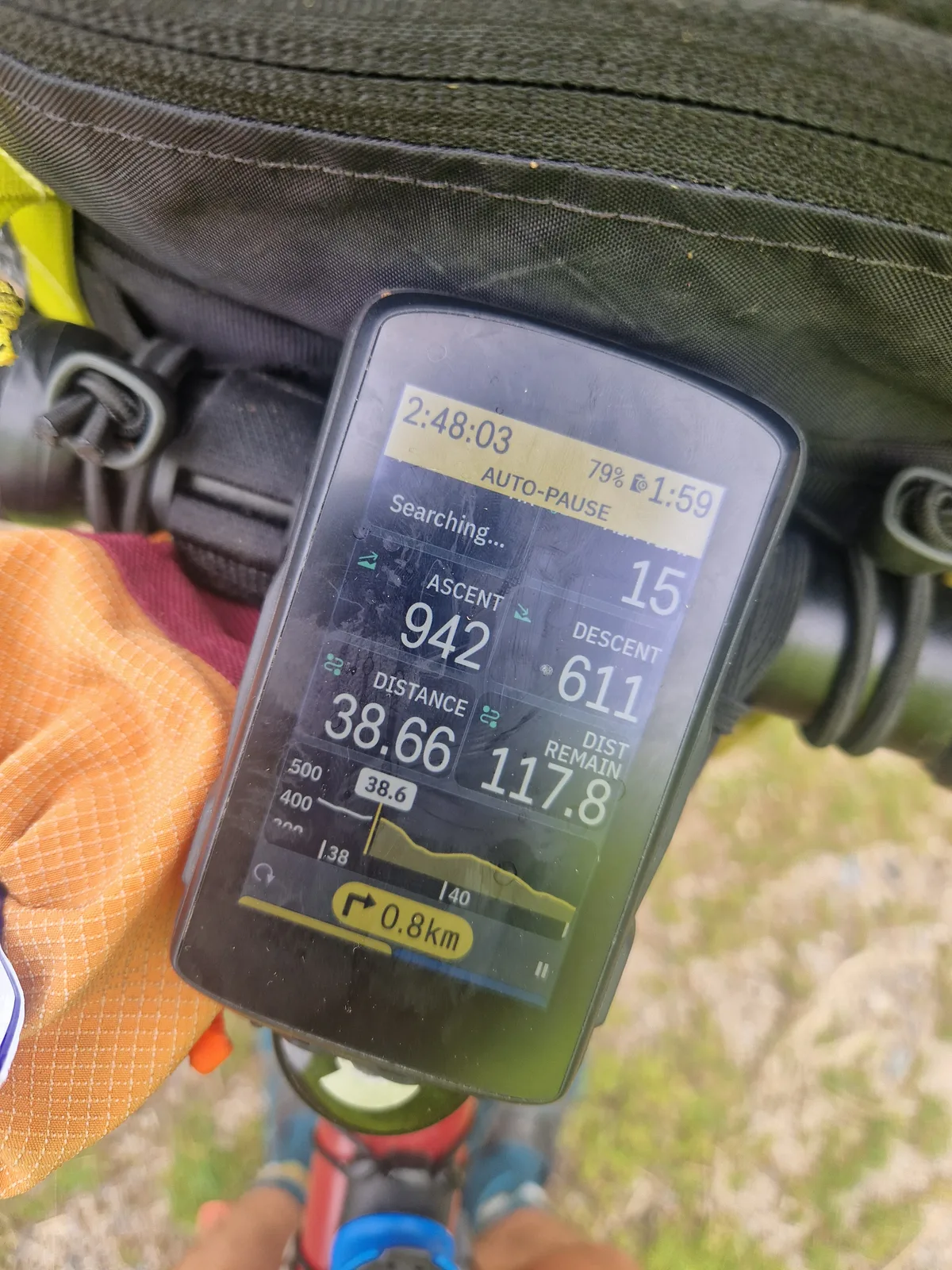
Just after lunch. I’ve cycled less than 40 km and found nearly a kilometre of elevation … Let’s hope that the rest of the day isn’t like this.
Off-roading
I had barely ridden 30km, and somehow had found 1000 metres of elevation.
I stopped for lunch in the grandest building in town. In the past, it had been a hotel, accommodating, amongst other illustrious guests, a certain “Arthur Conan Doyle” who wrote the Sherlock Holmes novel “The hounds of the Baskervilles”, set in the moors, during his stay.
Sated, I resumed my trip.
For planning my ride in France, I had followed long distance cycle-paths. Usually smooth gravel or asphalt paths that stay away from cars. In Cornwall, I had followed parts of the National Cycling Network routes that pick lesser trafficked roads. Here, I was following part of a route I found on bikepacking.com a website of off-road fanatics, so I was expecting a bit more of a challenge.
44 km
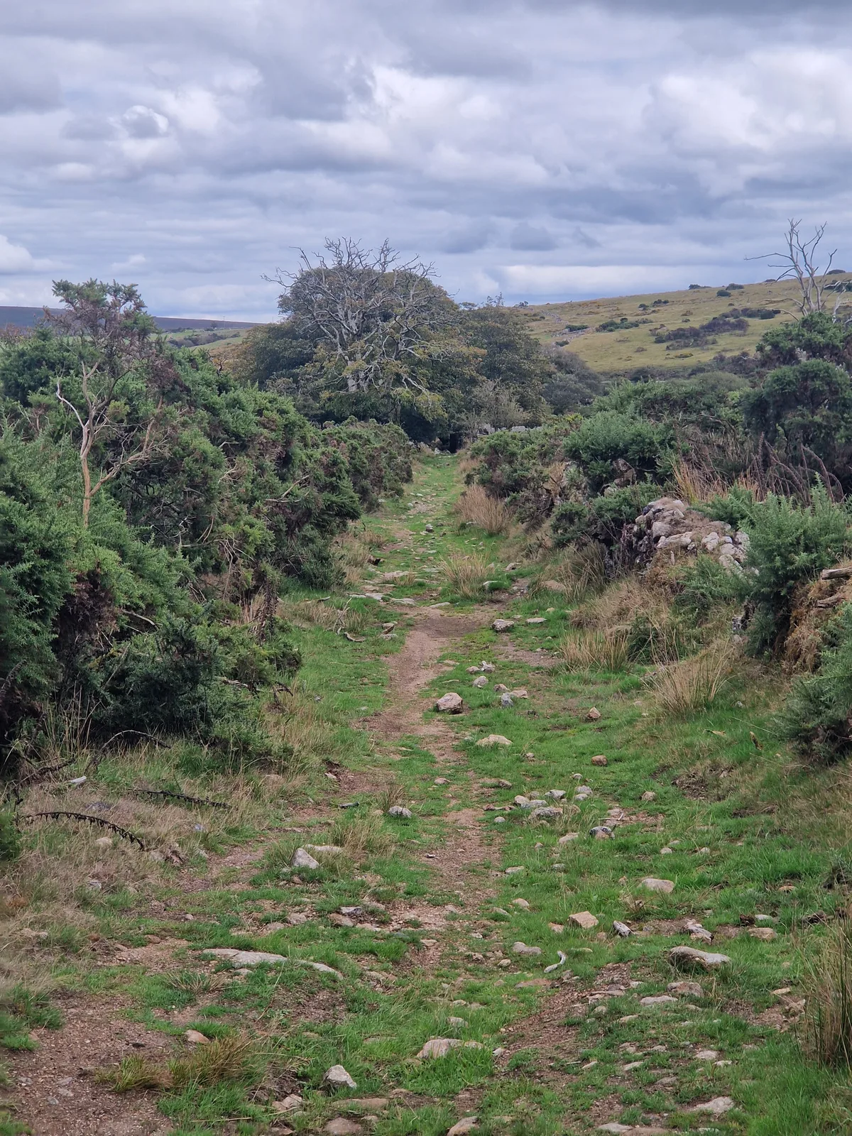
Seeing the path does not always make it easier to follow. Carefully threading through rocks does not make for the fastest progress.
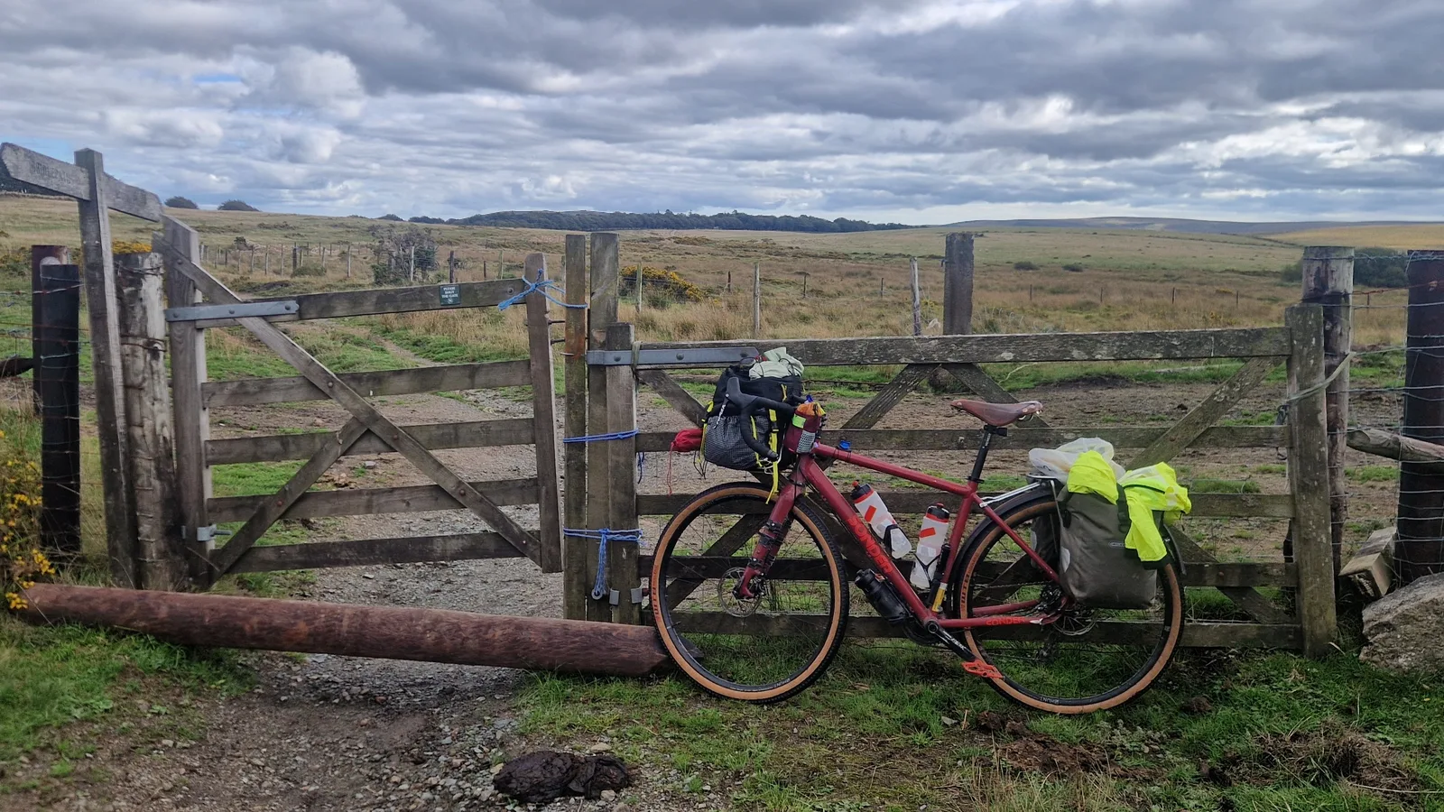
Resting after passing what felt like the million-th gate. Each time, I had to get off the bike, wrangle the gate with one hand and push the bike through with the other. Hard enough without the bags. Sometimes, an obstacle required to carry my bike through the gate …
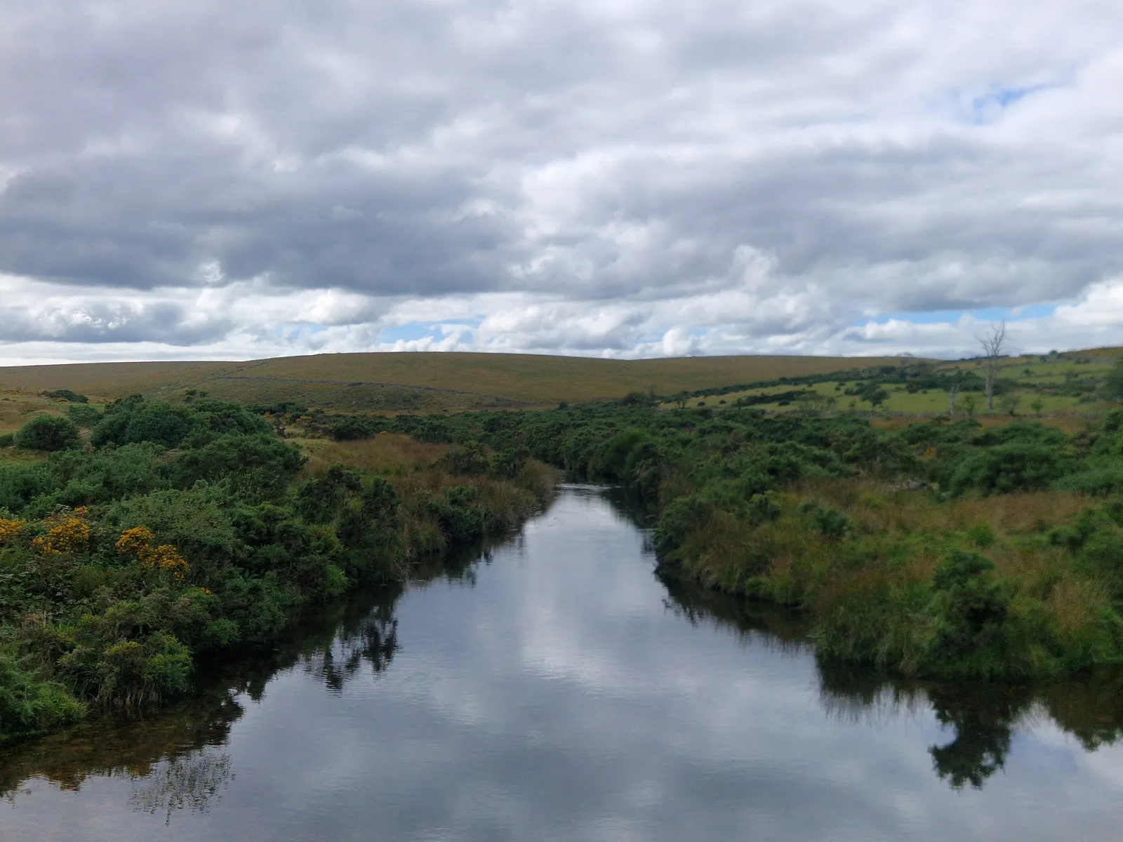
When the wind stops, silence falls, and the water becomes a mirror.
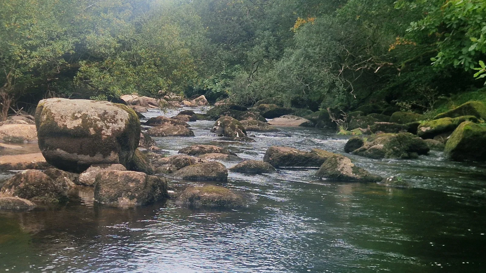
Elsewhere, a brook makes it way between the trees, the water noisily splashing on the rocks.
Safe Asphalt
I was hoping for nice compacted gravel paths, or windy single tracks. Instead I found my self crossing fields, looking for places to ford streams, and pushing my bicycle though brambles, trying not to scratch my legs too much.
Between each stretch, a gate kept the free roaming animals in their designated zones, but requiring my to dismount to open and close it.
Making any progress was a struggle. I passed hikers, and wondered what I had gotten myself into. I was looking at the time, and how little progress I had made, and I was starting to get worried about my pace. Between the hills of the past days, and the slow going today, I was getting concerned about running out of time for the trip before I reached the coast.
I was rewarded with fantastic sights and pleasant moments next to babbling brooks, regretting, most of all, that I had nobody to share them with.
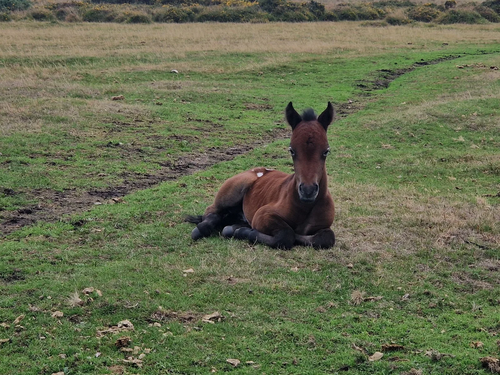
Dartmoor is full of semi-wild animals. Mostly sheep, some cattle, and the occasional horse. The mother and her foal looked up at me briefly, then returned to foragin as I approached to take a picture/
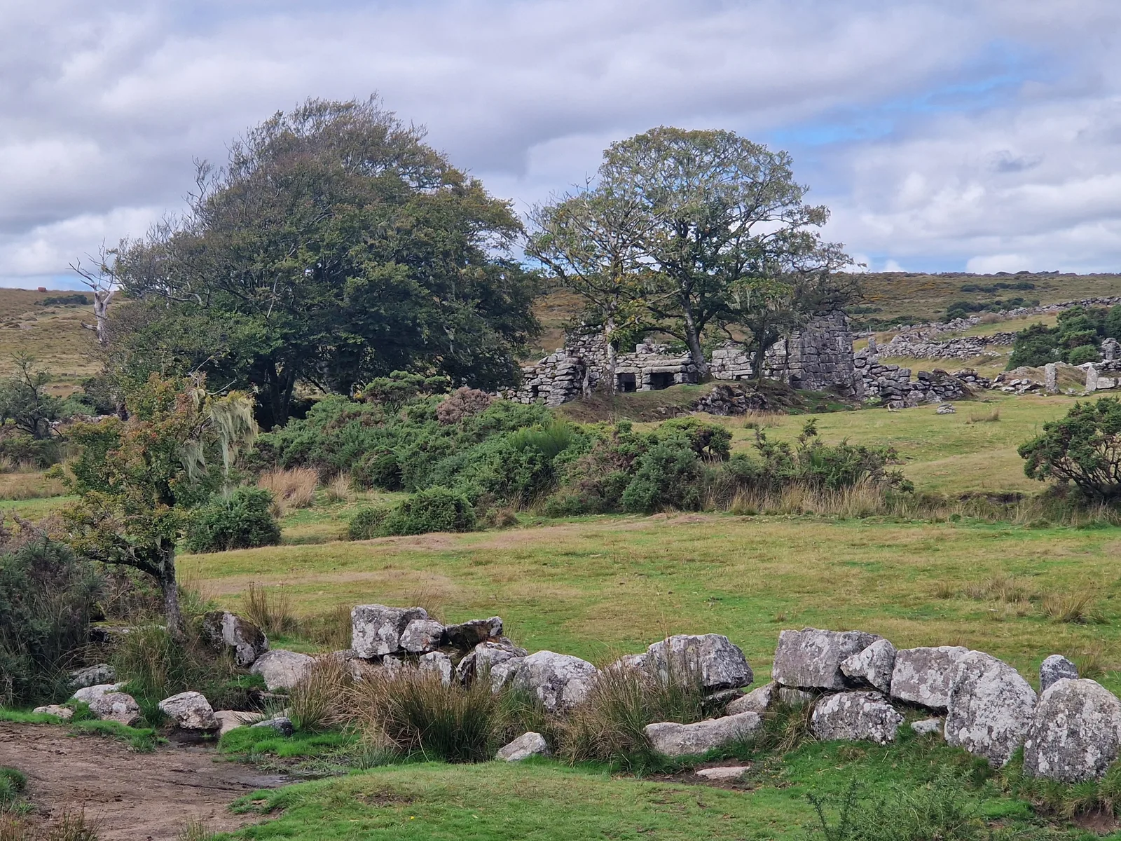
Between some brambles, the ruin of a cottage.
49 km
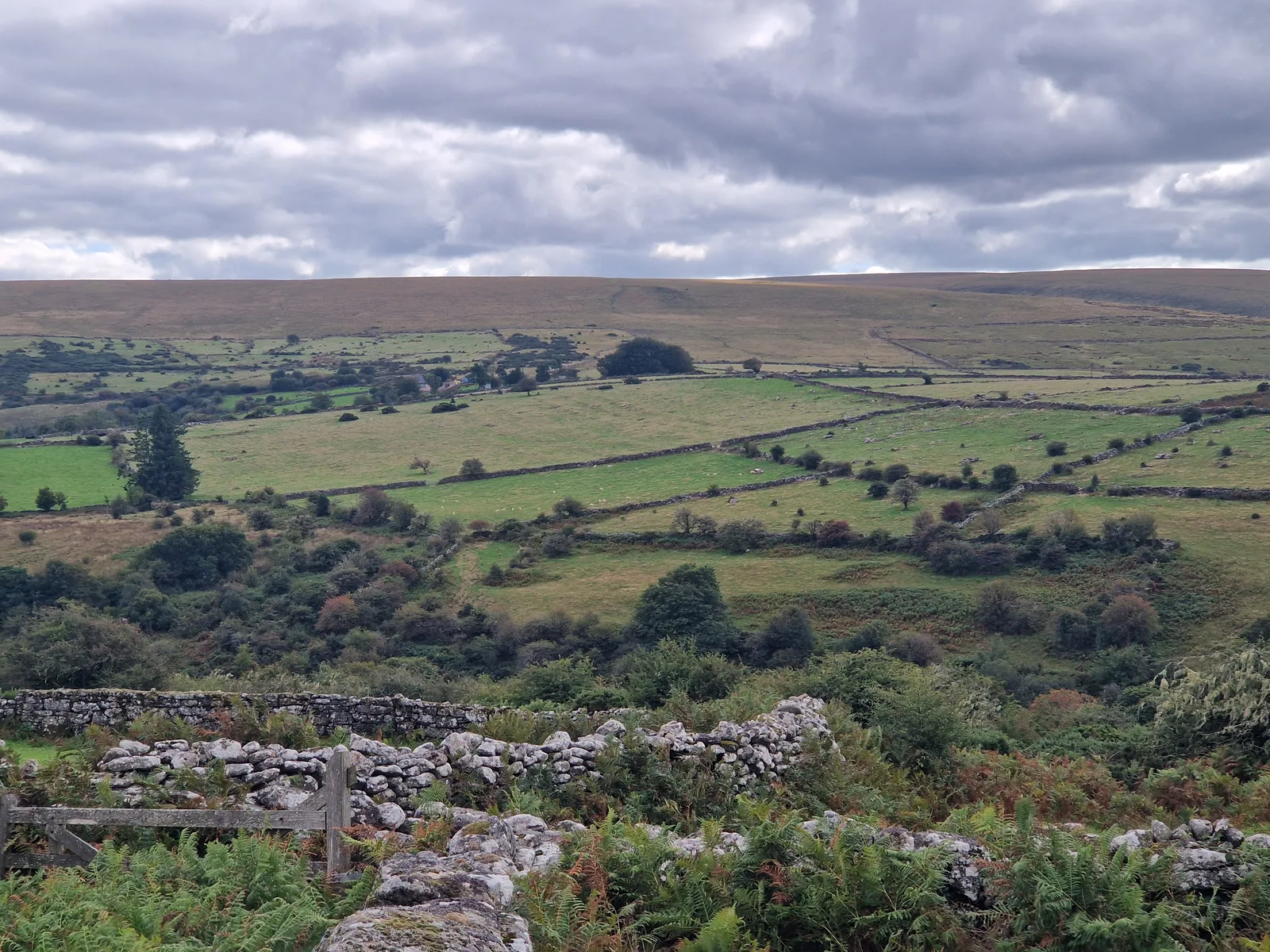
However difficult the hills, the scenery changed each time I crested a hill. Here, fields delineated by rocky walls divide the landscape.
Looking at distance I’d covered I grew concerned. I started wondering how long it would take me to cross the moors. As I rejoined an asphalt road and resolved not to leave it. The GPS beeped for attention: my route, a yellow line on the screen, pointing down into a green valley along a rocky path. I ignored it and cotinued on the road.
Passing the base of a hill, I looked ahead and saw a valley extending ahead. There was only one way out: across the hills at its end. I saw cars driving down towards me. They seemed awfully small, and terribly high.
82 km
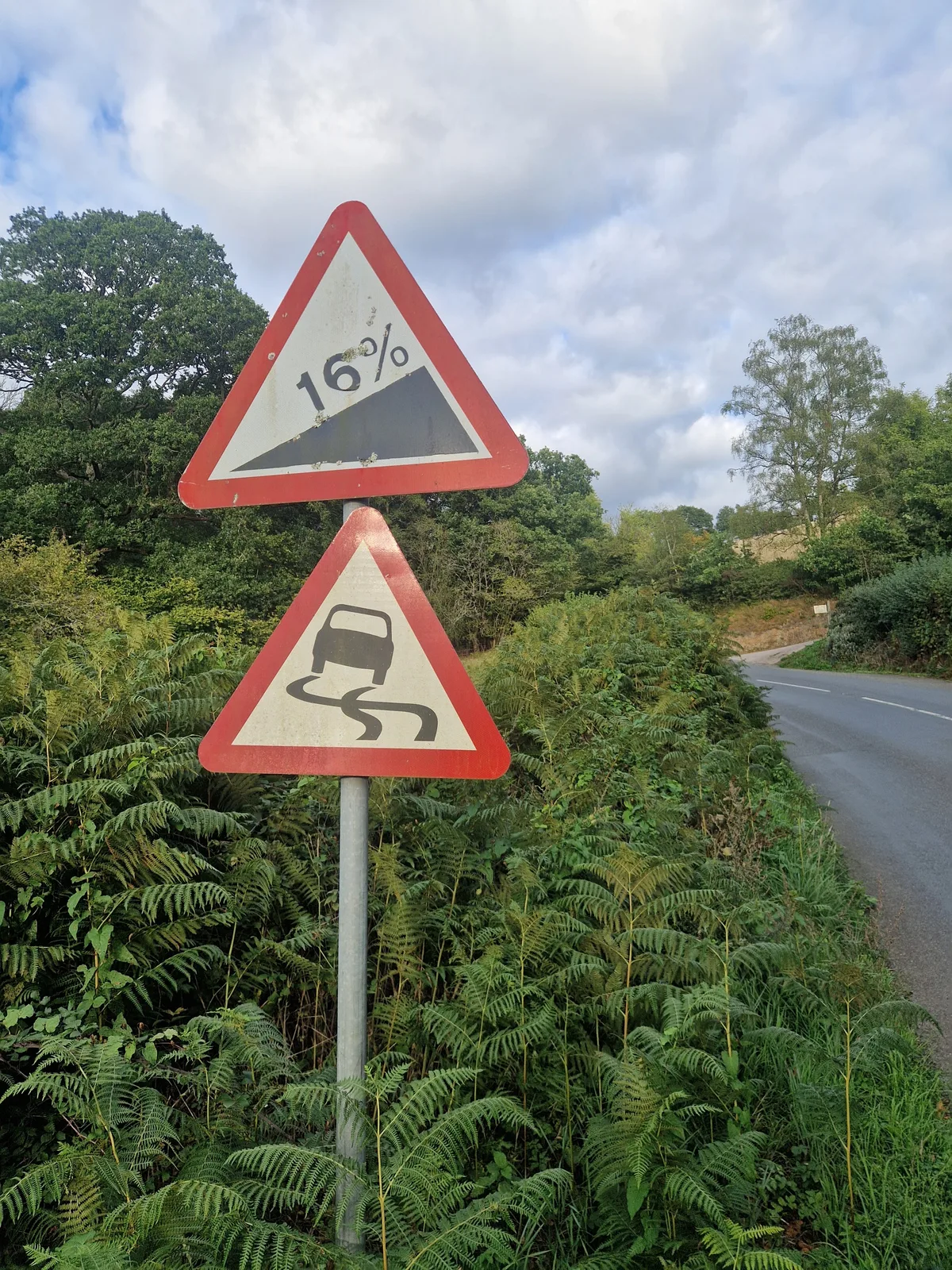
Just what I wanted to see on the road after a hard day. This was not a short climb.
It doesn't get easier
Even after leaving the moors, the road did not get easier. Steep climb followed steep climb. I hoped that sight of the sea would signal my liberation, but climbs kept coming. After days of climbing, I could feel my stamina wane.
Finally, I saw the sign I was looking for. I was approaching Exeter. From here I would follow the river Ex all the way to the sea, in Exmouth. I smirked at how descriptive the names were: on the land side of the river: Ex-ter (earth), and on the seaward side Ex-mouth.
For the first time, I passed through an English city and thought that it was pretty. It felt like a nice place to live. Soon, I was on a segregated bicycle path alongside the river. A few more kilometres and I would stop!
106 km
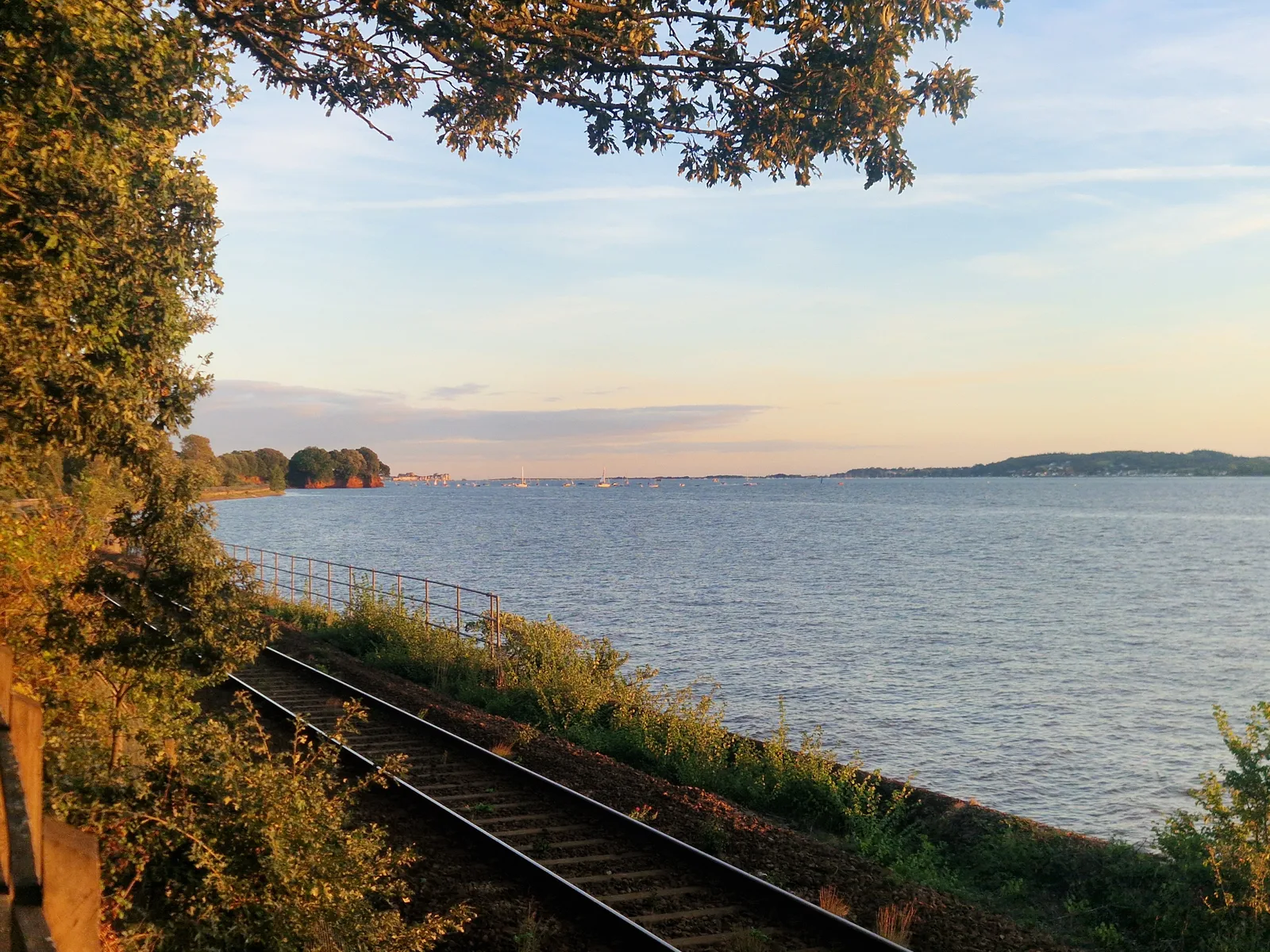
Looking at the river Ex estuary at the golden hour.
One last hill
I rolled into Exmouth, surprised by the amount of activity on the sea-front, lined with bars, and families enjoying an evening out, listening to music. I wanted to stop, but I needed to find my campsite, and set up my tent before night fell.
One last hill, and I rolled in.
I looked for the reception, but it was closed. I found phone number, and called, and we agreed that I would sort things out in the morning.