Good Omens
Rudely awoken by my alarm, I packed up my things and set off to complete my laparound the Peninsula of “Le Croisic”.
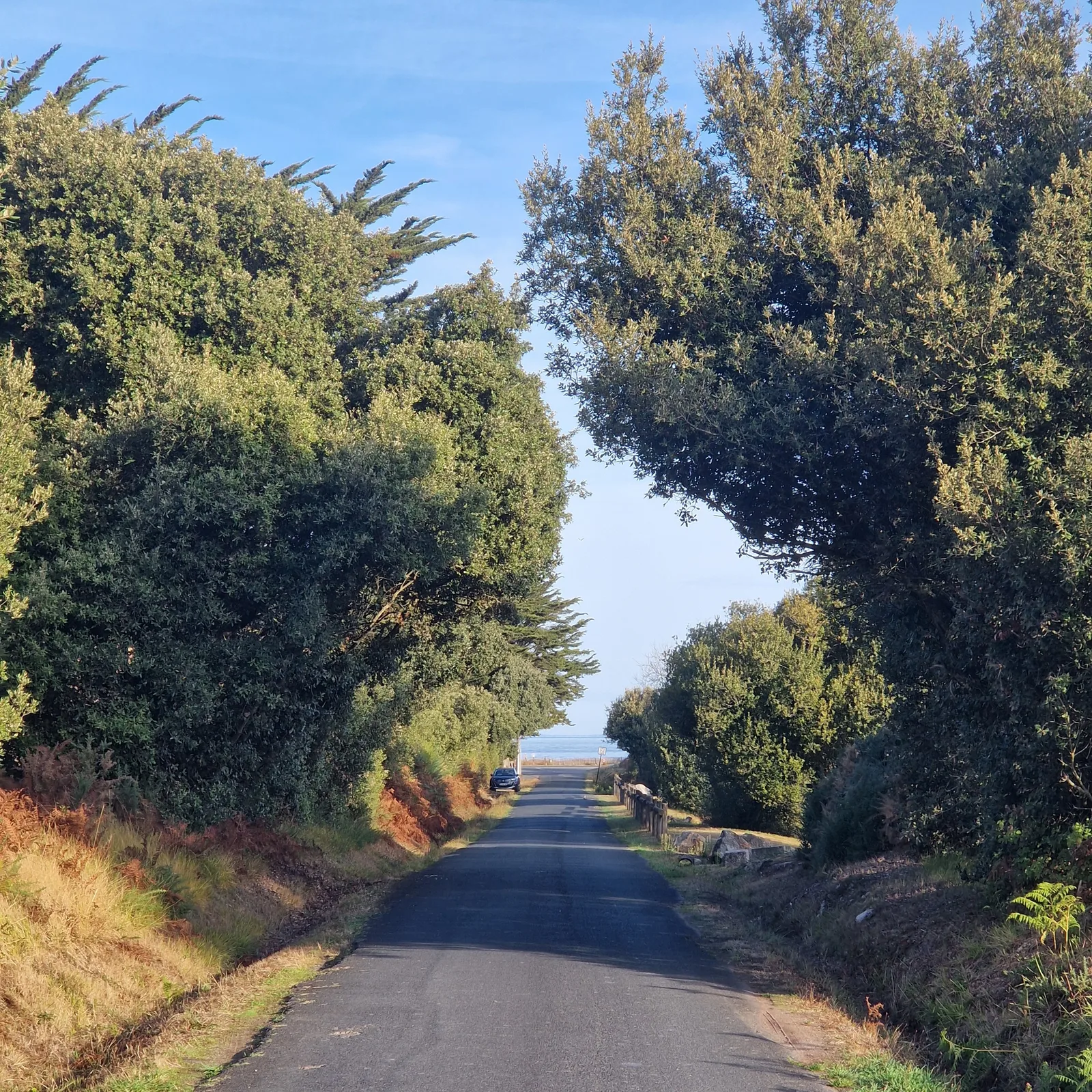
Moments after turning out of the campsite, I stopped and took my first picture of the day: the road, flanked by trees, sloped casually down towards the sea. If the rest of the day was this easy, it would be a breeze.
My first task of the day was to find a bakery. The bartender at the campsite bar had given me a recommendation and I trusted him totally.
Nourished, I rode down to the shore and into the salt marshes. This area is renowed in France (but not only) for it’s salt: “Sel de Guerande”.
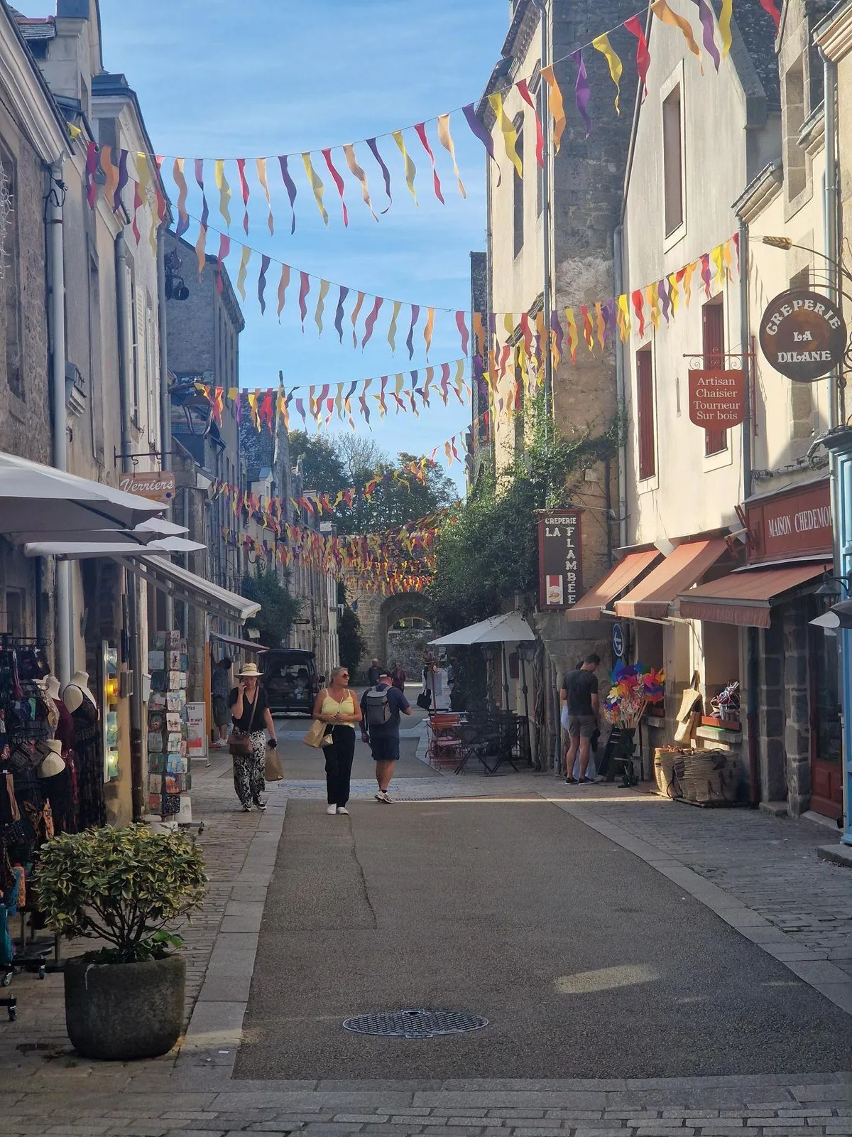
Guerande
Guerande itself is a fortified town, perched on a squat hill, that somehow survived through the ages intact; a destination that I’m sure I will revisit one day.
The town dates back to Roman times. Enriched by salt production, it needed protection. A first attempt, an earthen berm, was insufficient, and the town was sacked in 1343 by invading spanish armies. Stone walls were built to improve the protection of the town against future attacks.
During the troubled years after the French revolution, the town would briefly fall into the hands of counter-revolutionary monarchists. A detachment of Republican troops from “La Roche Bernard” re-captured the town, and revolutionary justice was swiftly administered to the leaders of the group.
The walls were useful untile the second world war. The town was part of the “St. Nazaire Pocket”, an area defended so well that it only surrendered to allied force on May 11th 1945, 3 days after the capitulation of the Reich.
The Coastline
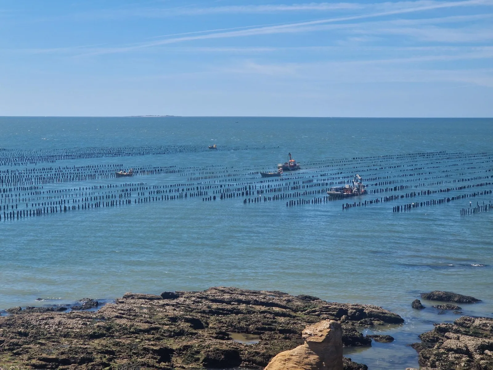
Cycling back down the hill, I rejoined my route for today: The Velocean; a meadering route that hugs the coastline, darting along beaches, diving into capes, and retreating inland to recharge.
The view promised to be beautiful, but there are two immediate downsides to coastal routes: the strong atlantic wind, which would be relentless; and the hills of the the coast of Brittany. The climbs are not long, but they are frequent.
Remembering the War
Countries that were freed by Allied troops in the second world war have a debt of a gratitude to them.
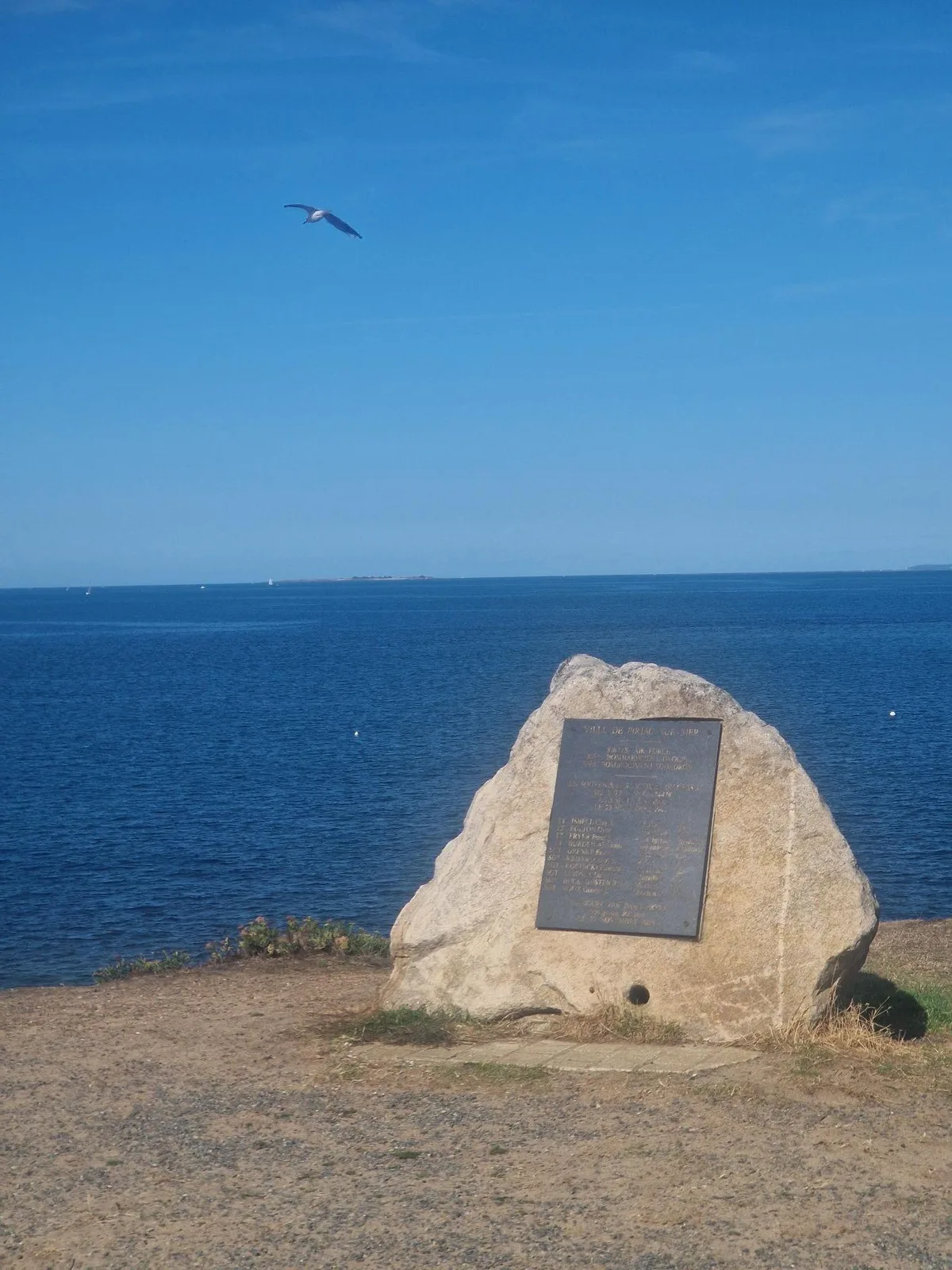
Here, on a cliff overlooking a beach, a rock, emblasoned with a bronze plaque, lists the crew of a B17 bomber that had crashed off-shore. Of the 10 men aboard, only 2 had survived into German captivity.
The aircraft was lost on the 23rd of November 1942, on a mission to bomb the submarine pens in St. Nazaire [1]. Flak and German fighters rendered two of the four engines inoperable and the 3 metres of the left wing were ripped off [2].
The fatally damaged plane exploded in mid-air before all the crew had been able to bail out [3].
In 2003, one of the surviving crew, “Peter J Fryer”, the navigator, returned to the site of the crash to inaugurate the monumement.
Floating in the Sky
The morning went by uneventfully. Beautiful, enjoyable, but uneventful.
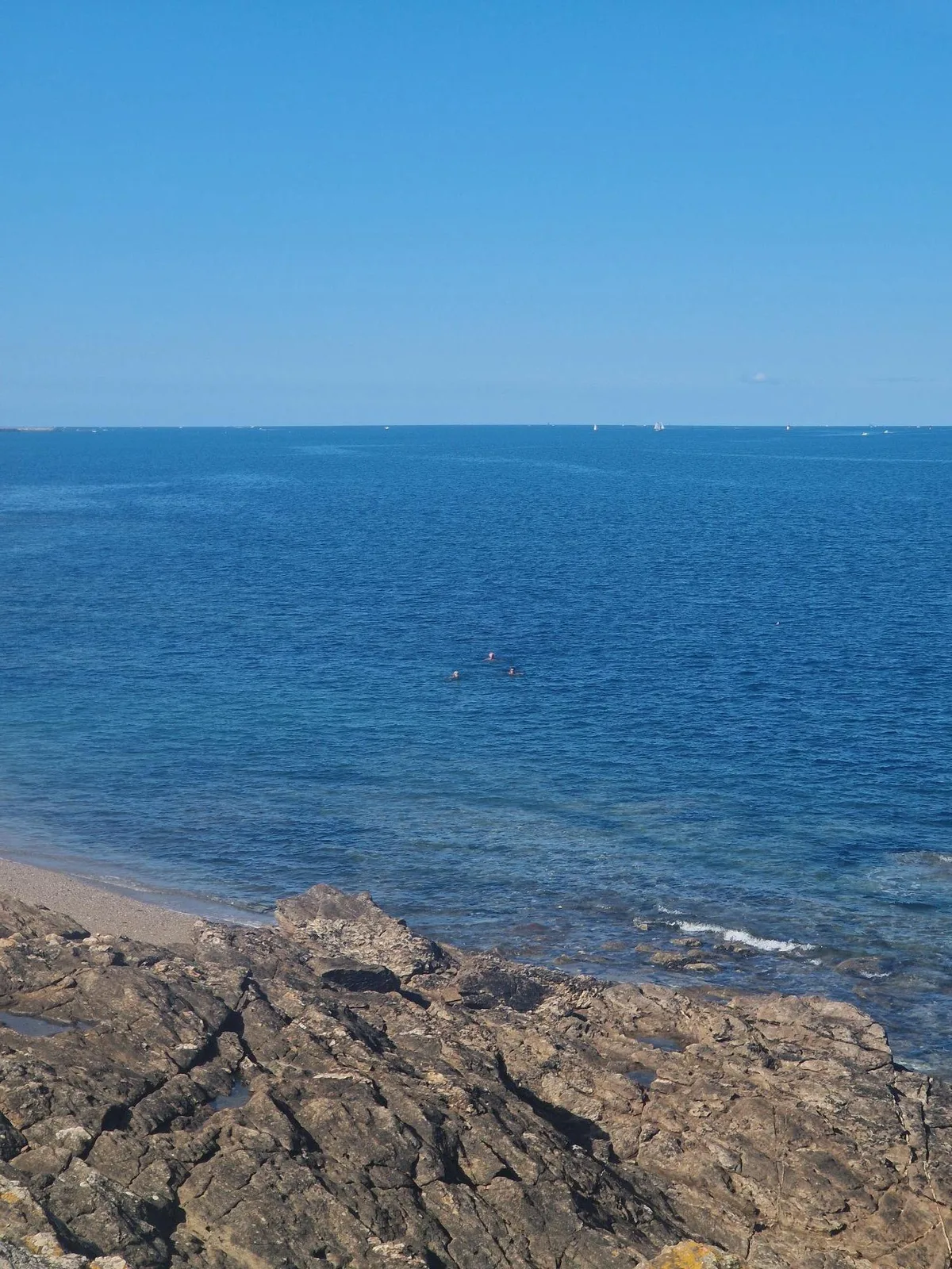
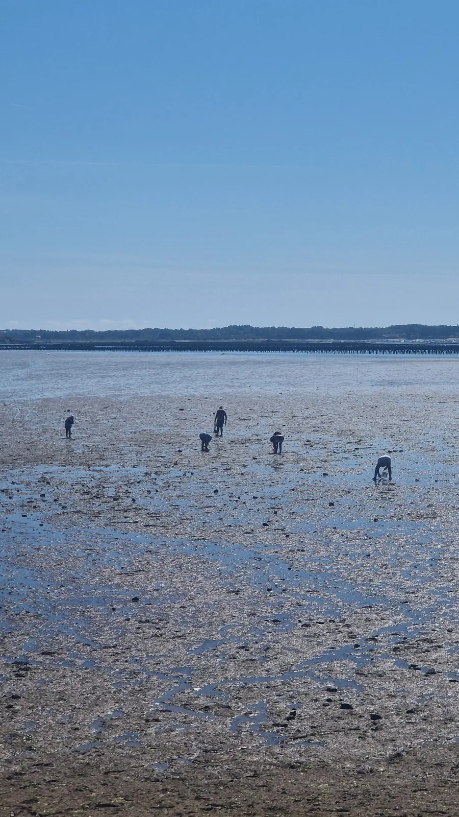
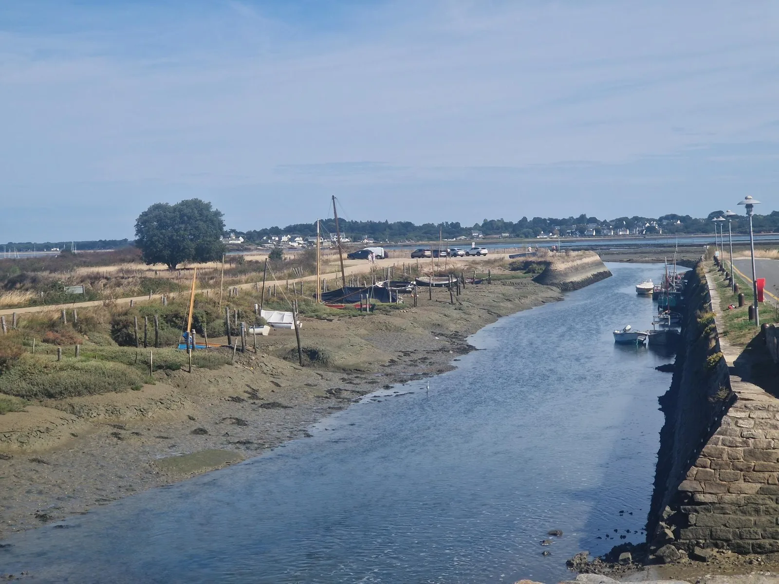
I passed beautiful beaches, rocky shores, work boats tending to oyster fields, … regular Brittany.
The afternoon was more interesting. My GPS had decided to stop recording and lose my track of the morning (painstakingly recreated at the campsite from my recollections), so I had no idea how far I’d gone.
This, combined with my imprecise planning (I was just following signs the route signs) and meandering route, meant that I had no idea how far I wanted, or needed, to cycle today.
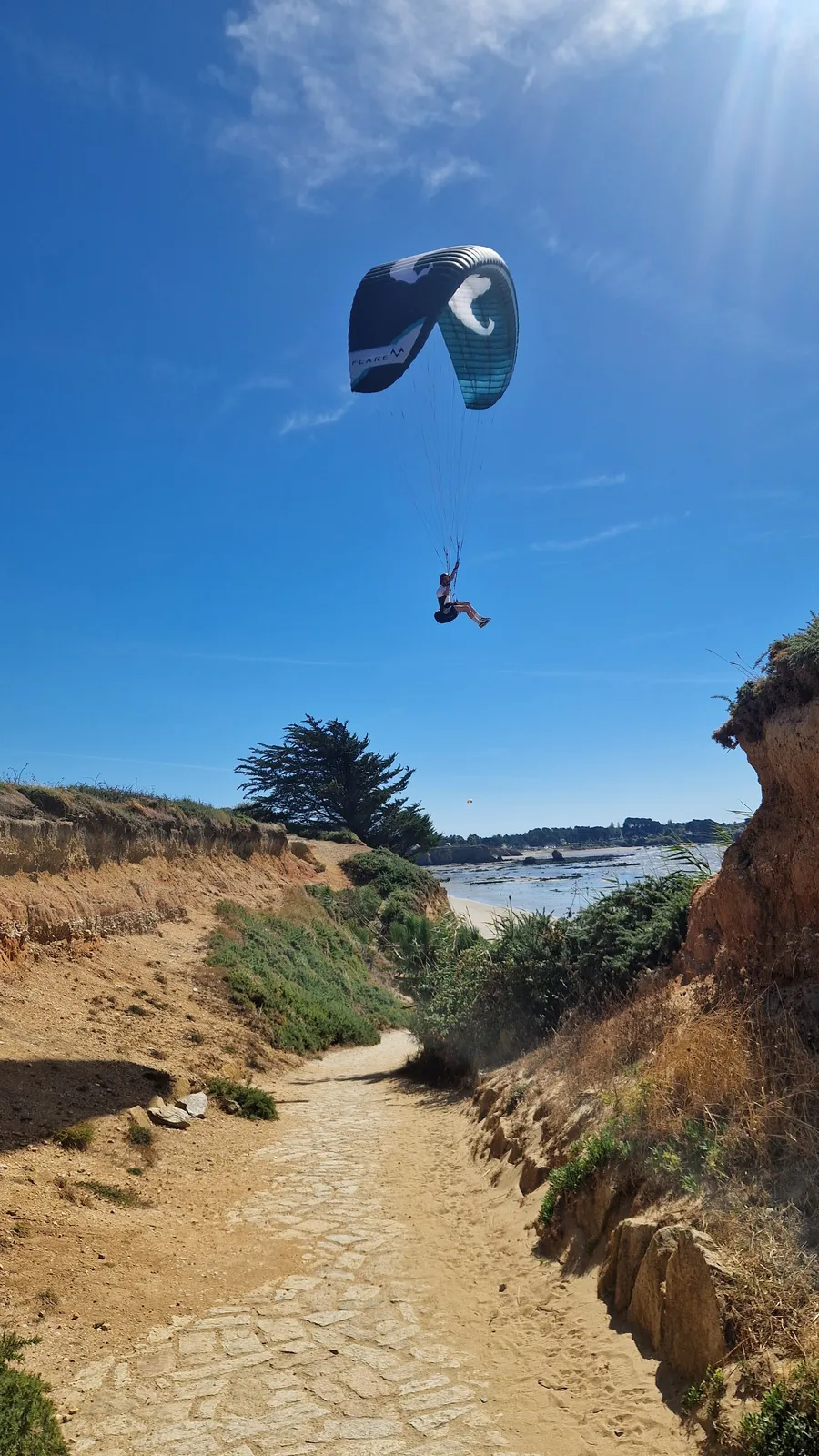
Walking down onto a beach, I stopped. A man was hanging in the air, wildly flapping his arms, willing air into his paraglider, as he hovered precariously over the footpath.
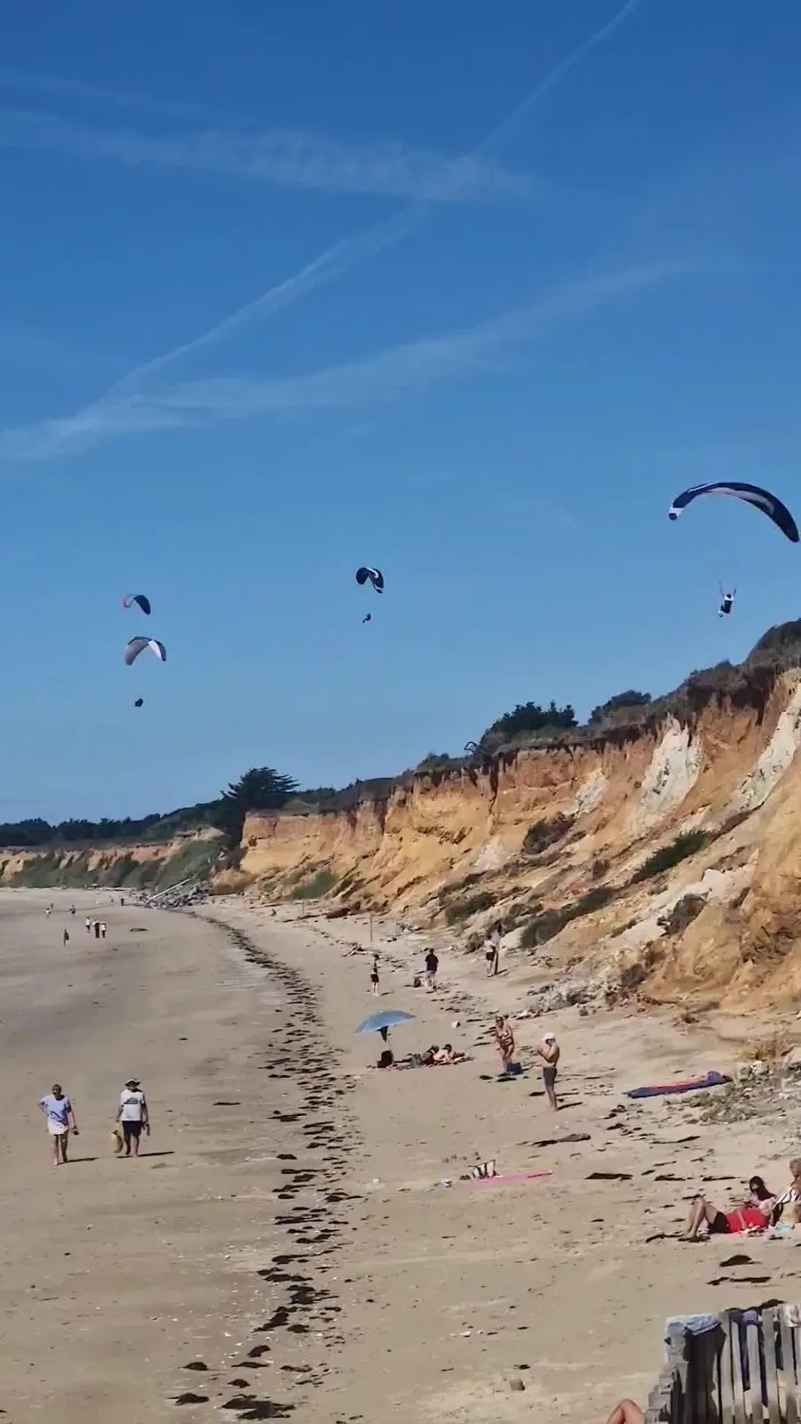
Around the corner I saw a group of paragliders hanging still in the sky; the dune pushing the wind upwards and holding them in place. A peculiar sight indeed.
As I walked back up the path, the daredevil paraglider swung by again, I ducked instinctively to void his feet, and nearly bumper into an older gentleman who was just making their way off the beach.
A welcome surprise
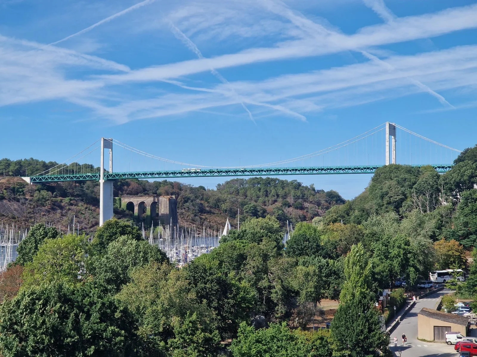
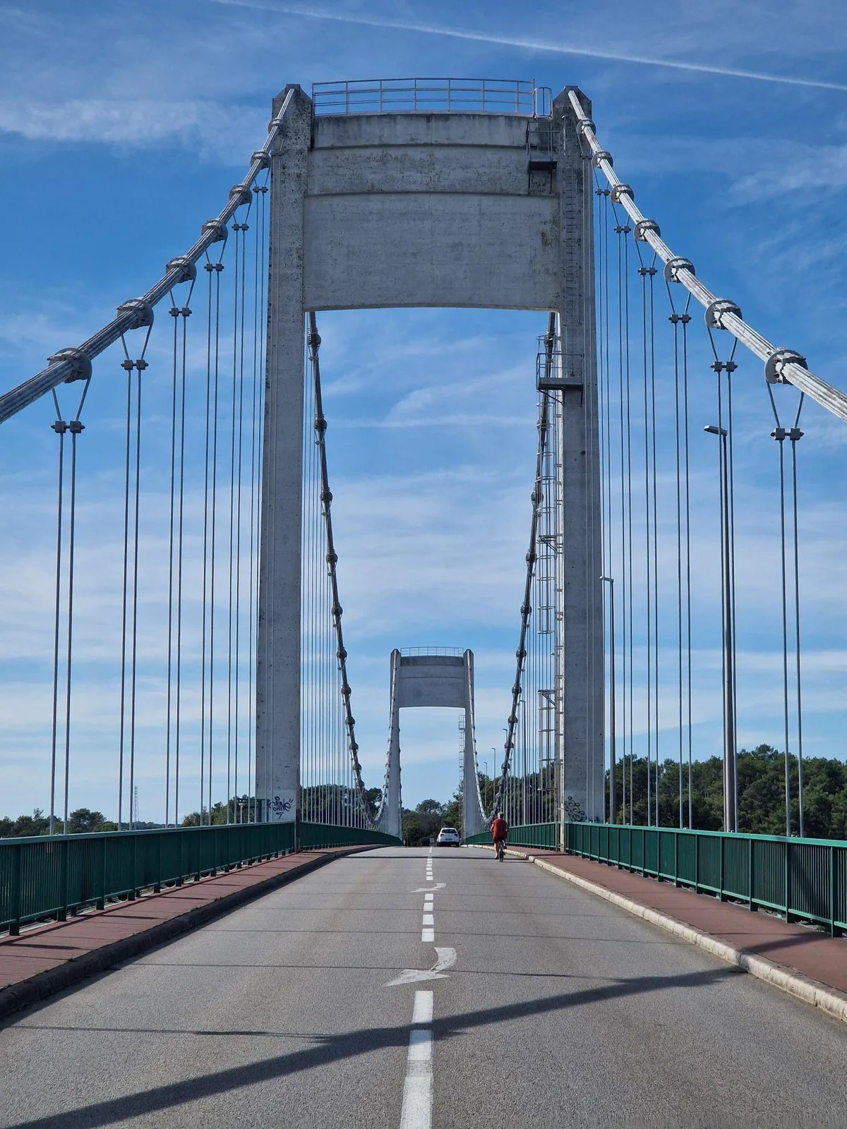
The novelty of flying men wore off quickly, my next surprise would be the town of “La Roche Bernard”.
It is a beautiful medieval town, dominated by an impressive suspension bridge: 84 metres high, 407 metres long, 1600 tons of steel for the cables, another 700 tons for the rebar rods in the concrete columns.
Noticing a gap between the cars, I darted into the middle of the road for a snapshot of this beauty.
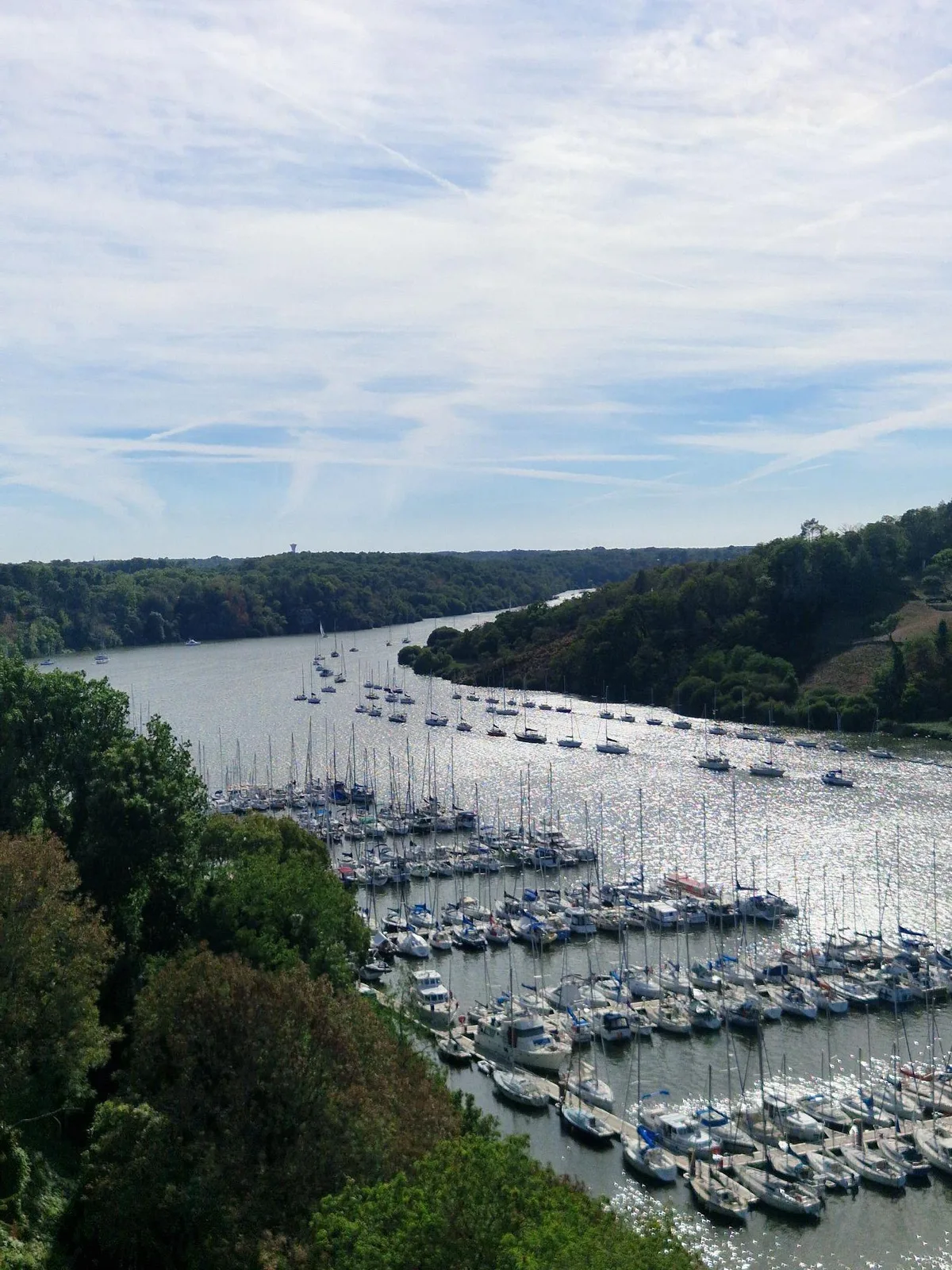
This was the end of my adventures along the coast, I was now following the villaine. A river leading north, towards Rennes. The beaches were gone, in their place river plains.
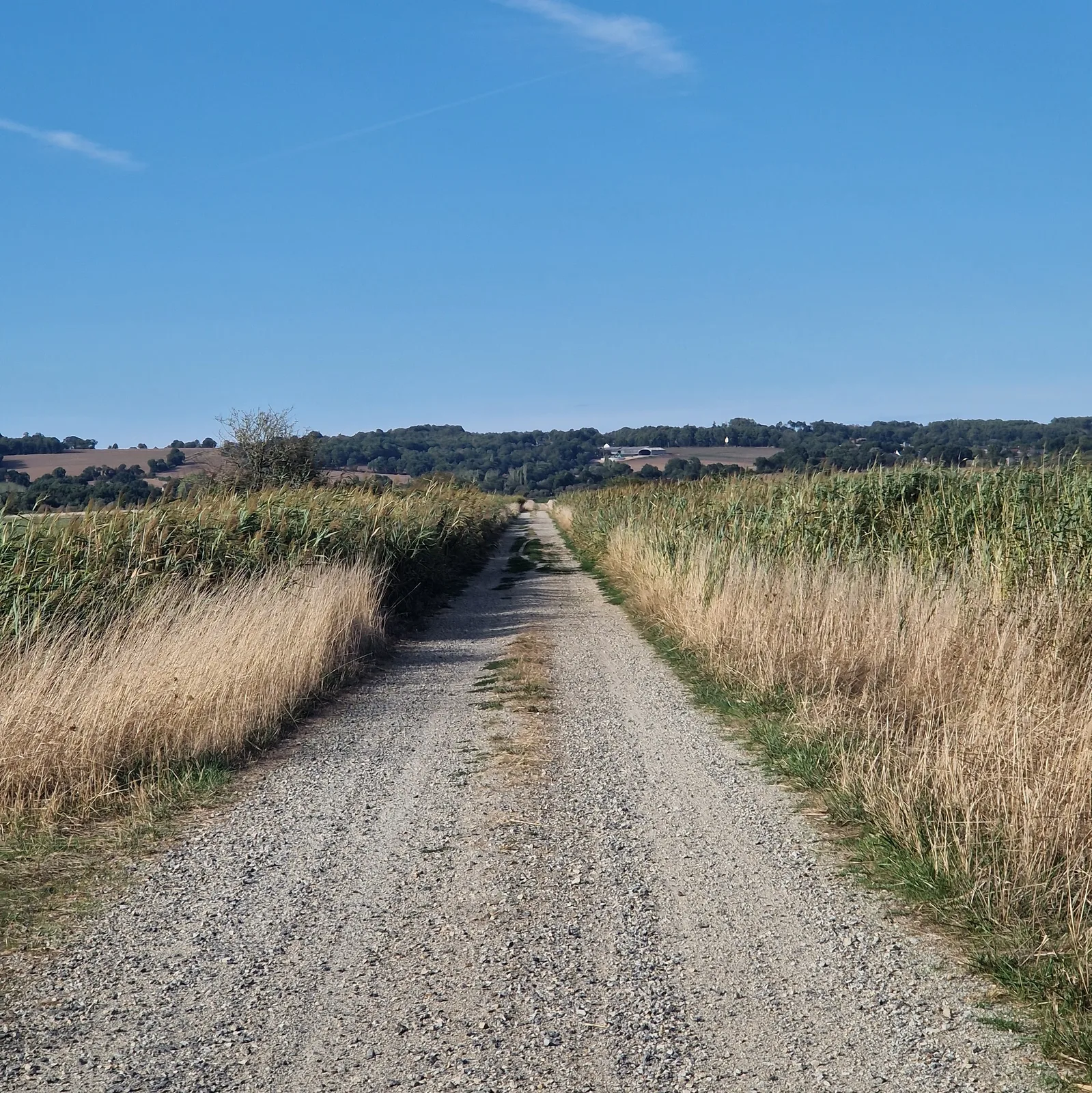
As I closed in on my objective of the day, I felt a new jolt of energy. I was speeding ahead at 30 km/h on a gravel path. Where was this energy coming from? Was it the knowledge that I would soon be at the campsite?
I slowed down for an intersection and the source revealed itself. After days of fighting the wind, it was finally with me!
By the numbers
- Ride Started
- 09:00
- Ride Ended
- 19:18
- Distance
- 132 km
- Time Moving
- 7h 12m
- Time Elapsed
- 10h 18m
- Elevation Gained
- 910 m
- Distance so far
- 465 km
- Riding so far
- 24h 22m
- Elevation so far
- 2354 m