Rushing!
At this point, the geographically-aware amongst you may have noticed that I seem to be going in the wrong direction. If I’m heading to Rotterdam, why am I heading East and not West?
Well, rest assured, my compass works. Soon, you will understand where I’m going.
I had a lunch date, and I needed to get 70 km down before then. This would be a morning of pushing.
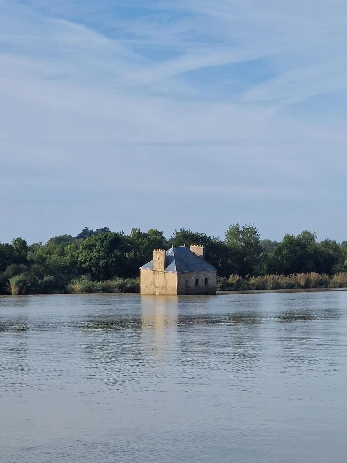
After leaving Nantes (and discovering that it’s a very hilly town), I found the river again and looked curiously at this house sticking out of the river. Had it been carried down by a flood? Was it just an old building caught by erosion?
A poster above a urinal during a bathroom break revealed it to be an art installation. Disappointing, but reassuring maybe?

No other choice ...
Thankfully, unlike yesterday, the wind was gone and I could push harder to make time. The scenery was rather uninspiring so I did not feel the urge to take pictures (and the few pictures I did take were not noteworthy).
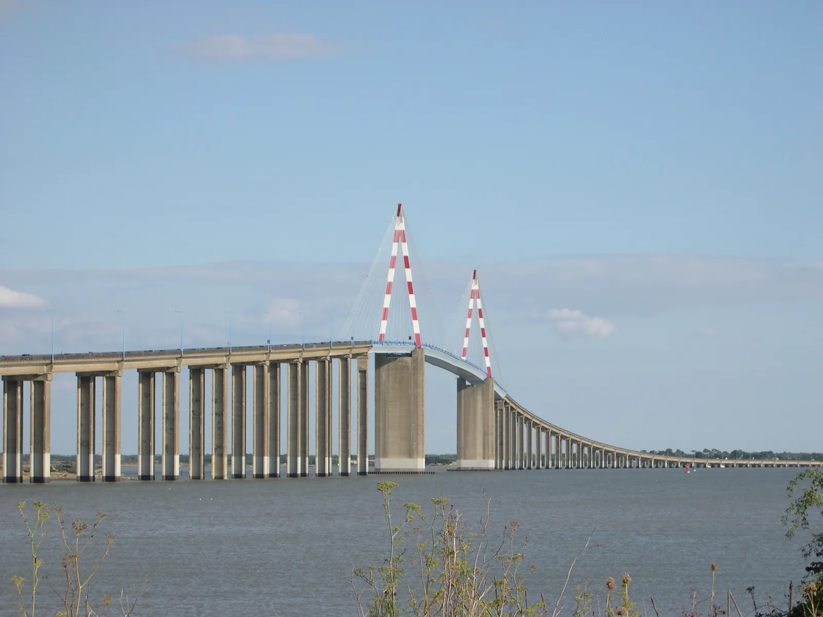
There was one issue with my plan. I was on the wrong bank. I had assumed that a ferry would take me across, but as I drew closer to St Nazaire, a very tall bridge grew into focus.
I clung on to hope, but it became obvious that it was my means of crossing the river. Looking for an ETA, I pulled out google maps, and it suggested a 90 km detour to catch the ferry that had originally put me on this bank. Great…
I prepared myself mentally for the climb: the exertion of climbing a tall hill on a (too-) heavily loaded bicycle, with cars and trucks rushing by centimetres away from my handlebars, but thankfully, a painted-on bike lane gave me a little space, and the drivers were mostly considerate enough to give me a wide margin. I focused on a point ahead, trying to drive as straight as possible as the beating wind caught me.
Finally, I passed the high point and glid down. I was nearly there. A few more minutes and I would be enjoying Lunch.
St. Nazaire
Rested and sated, I explored St. Nazaire.
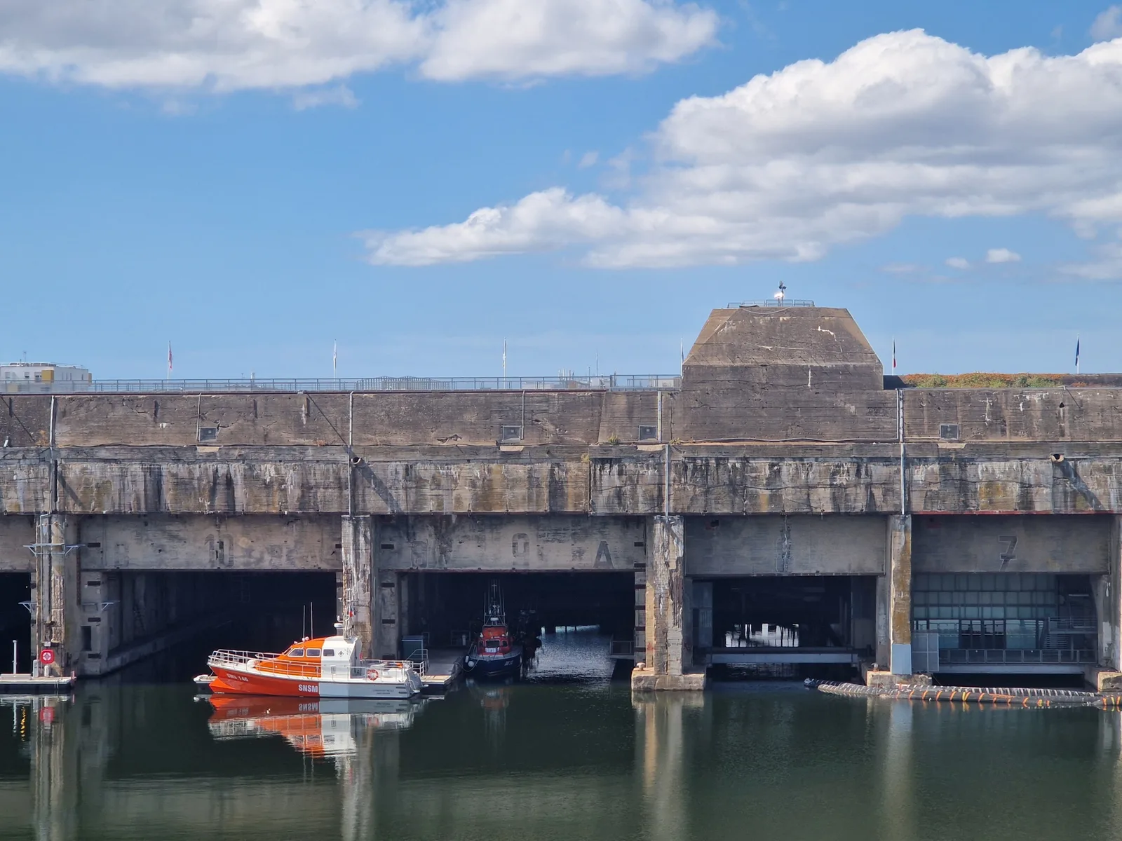
In the second world war, Nazi summarines were initially based in Germany. To access their hunting grounds in the Atlantic, they had to cross the channel. A dangerous undertaking. With the fall of France, they could be based in the atlantic ports and roam more freely.
The Allies started a bombing campaign to disrupt the port which led the germans to construct massiv concrete submarine pens for repairs and refitting. The port would withstand allied bombing raids even after the entire city had bee wrecked and evacuated. It would only see damage with “Operation Charriot”, a daring british commando raid to destroy the locks that protected access to the submarine pens. Even though it was a success, fewer than half of the 600 troops that took part in the operation returned to England.
Fighting the Wind
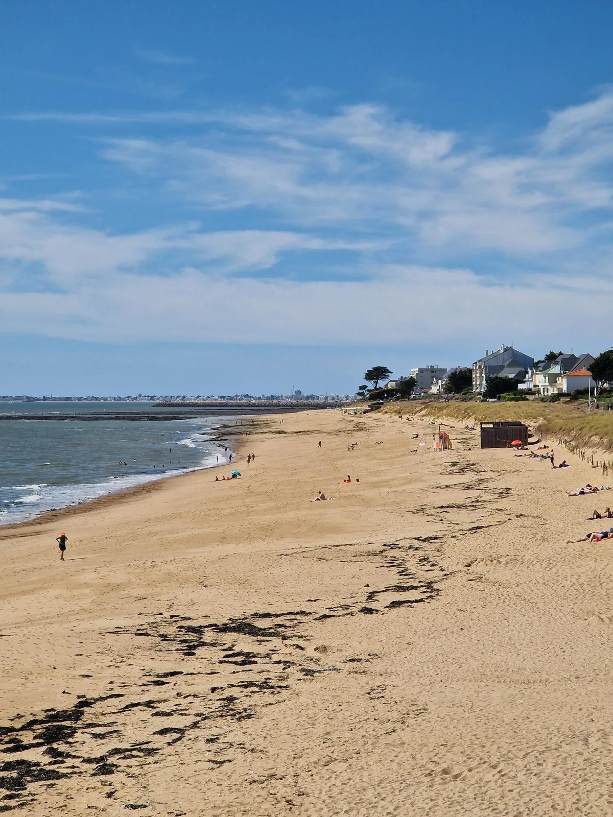
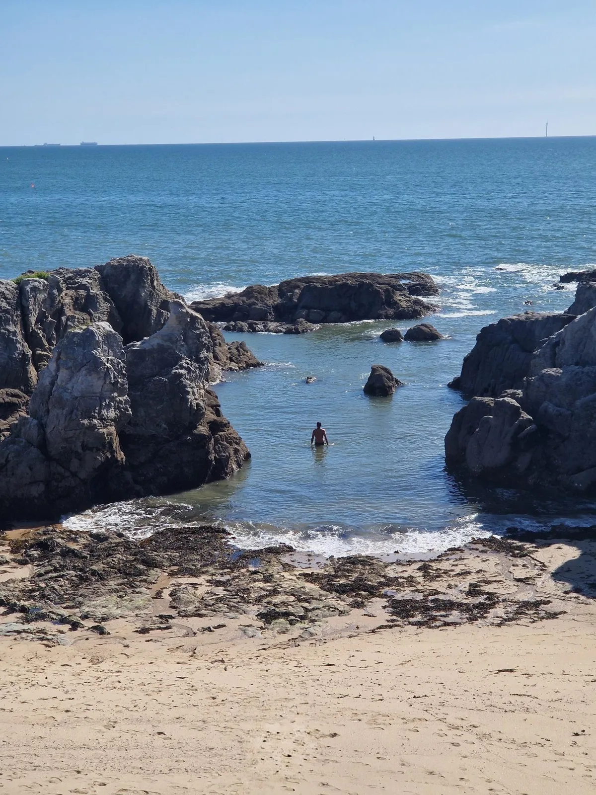
After a tour of the port, I headed towards the coastline and decided to follow it for a while.
I’d just forgotten that coastlines are windy.
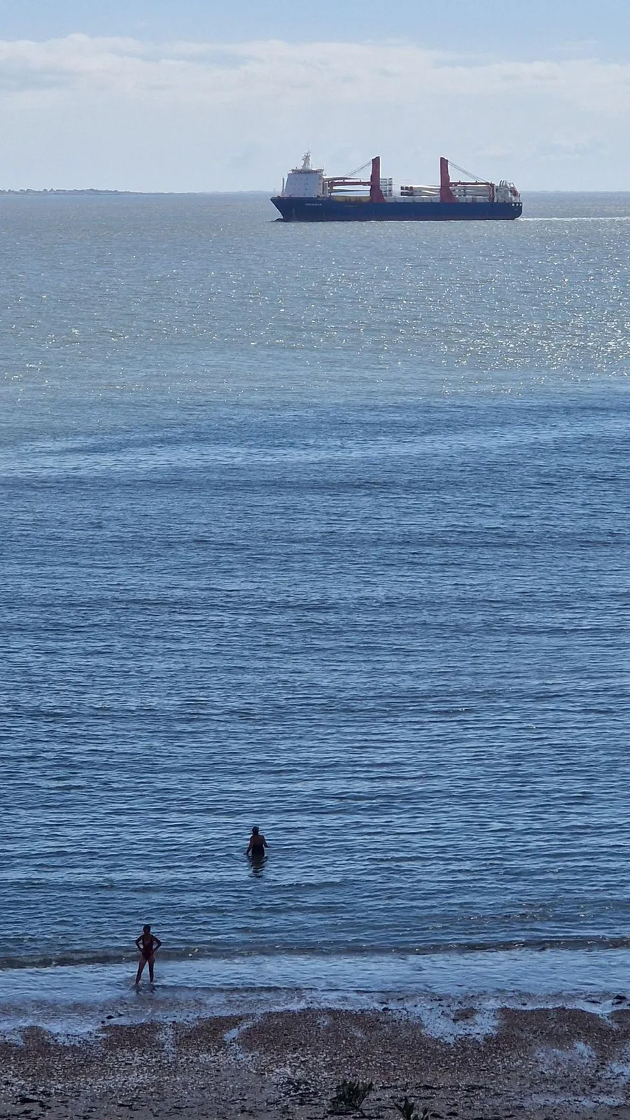
The rest of the afternoon was beautiful, the views spectacular, but I’m glad to have lived in the Netherlands long enough to recalibrate my definition of “windy”.
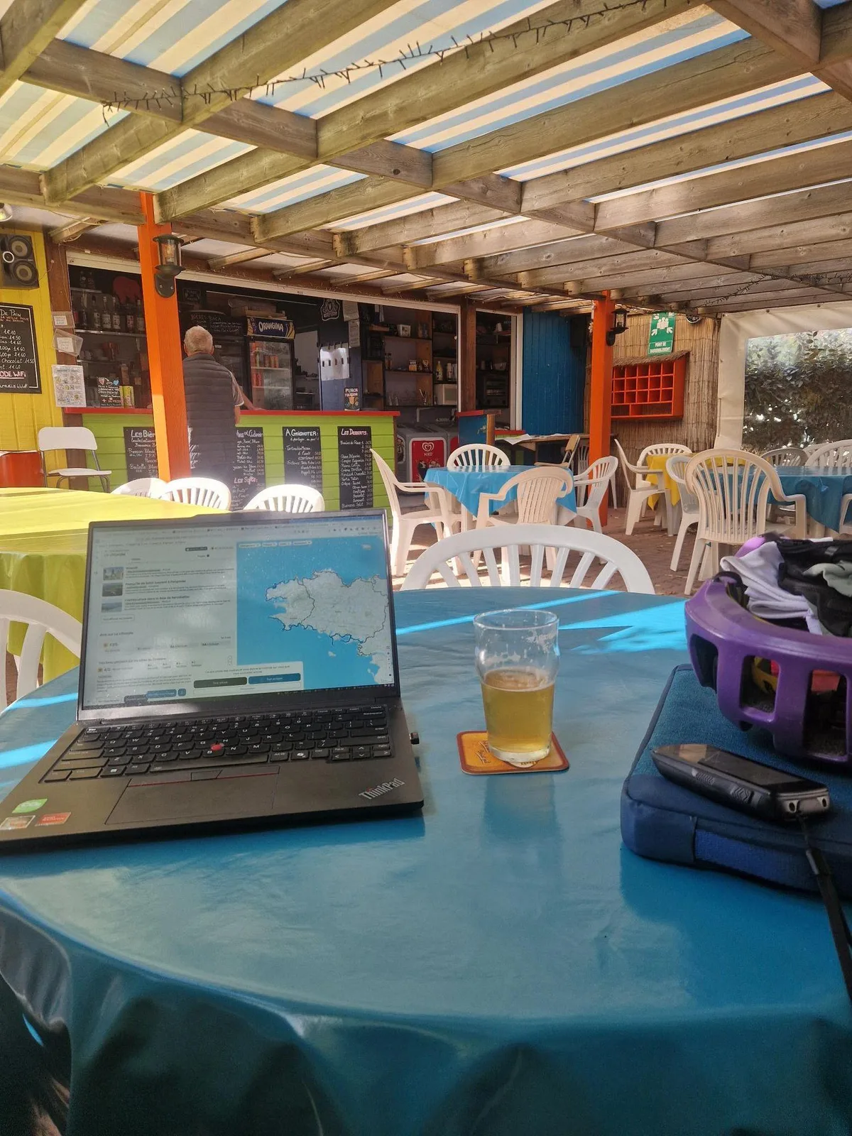
Tonight I camp, but the campsite has a bar, so before I set up my tent, I can enjoy a cool beer and write this missive.
By the numbers
- Ride Started
- 08:57
- Ride Ended
- 17:47
- Distance
- 111 km
- Time Moving
- 5h 50m
- Time Elapsed
- 8h 49m
- Elevation Gained
- 596 m
- Distance so far
- 333 km
- Riding so far
- 17h 09m
- Elevation so far
- 1444 m