Gastronomic Discoveries
After an early stop yesterday, and a long rest, I was ready to get back on the road. I had needed the break, and Salisbury is a beautiful town. I enjoyed the chance wander around in the evening looking for somewhere to stop for dinner. After discarding the pubs, and Italian restaurants, the pickings were slim.
The weather, as I rolled out of the hotel, was uninviting, and the stretch of road back into Salisbury had fast, heavy traffic. Maybe not the most auspicious beginning.
I’d follow the Mercian Way for the start of the day. The route passes through the towns of the old state or Mercia. Unfortunately, Salisbury was in the state of Wessex. Simplicity won out over correctness when naming the route.
I needed to make up for lost time today, so I skipped the hotel breakfast and looked for a bakery in town. I found a Lardy Cake that looked enticing, covered in glaze. The first bite was surprising. Despite the name, I had not expected the cake to literraly be made with lard. By the third bite, I was enjoying the rich salty, and slightly unusual, taste.
Detours?
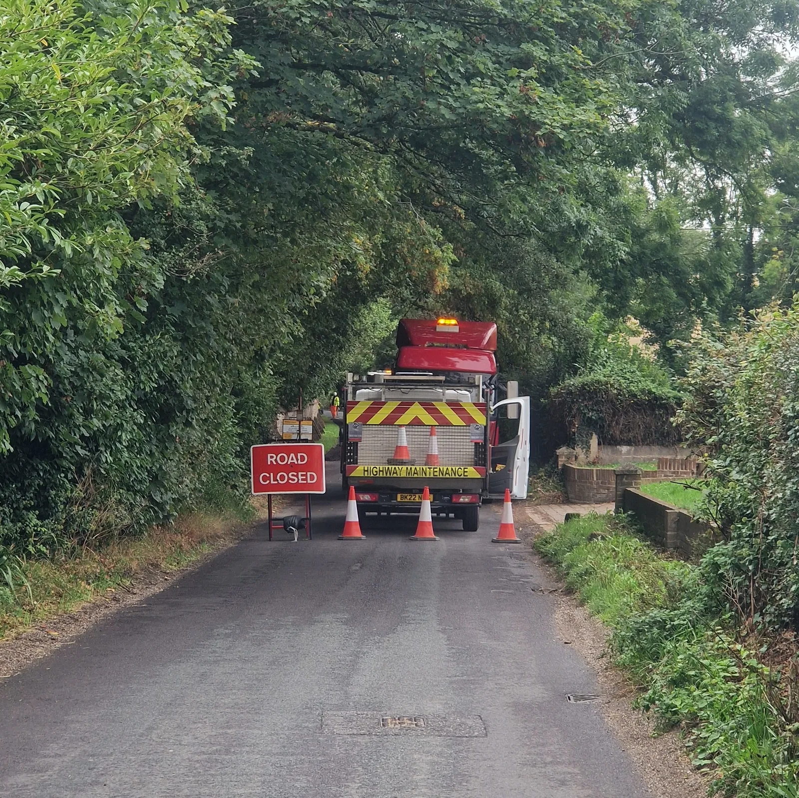
Soon, I hit my first roadblock. It seems that the entire country is under construction. I’d seen signs announcing road closures at a remarquable frequency, but so far, they hadn’t been a problem.
I passed another “ROAD CLOSED AHEAD” sign and stopped to look at the likely detour — it pointed straight a hill that I would have to climb — and decided to chance it.
A few kilometres later, enough that backtracking would be an annoyance, my optimism was punished. The entire road was blocked. I rolled up the worker guarding access, and struck up a conversation. Ten minutes later, during a pause in the construction, he ushered me through.
Dodging tanks?
My route was initially supposed to take me through the Salisbury Plains training area, a open range used for live firing exercises, dotted with military facilities. All evening I’d debated whether to follow a long off-road section though the plains (which might have been closed if a training exercise was taking place) or to follow a safer, road-bound, path.
The off-road path would have been fantastic riding, but I was worried about the relative remoteness of the path. Riding alone, I really did not want to risk the emotional drain of fighting a mechanical issue alone, or pushing my bicyle for hours to an actual road.
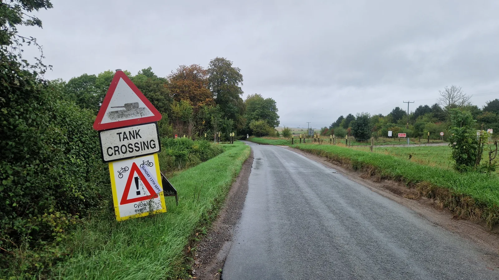
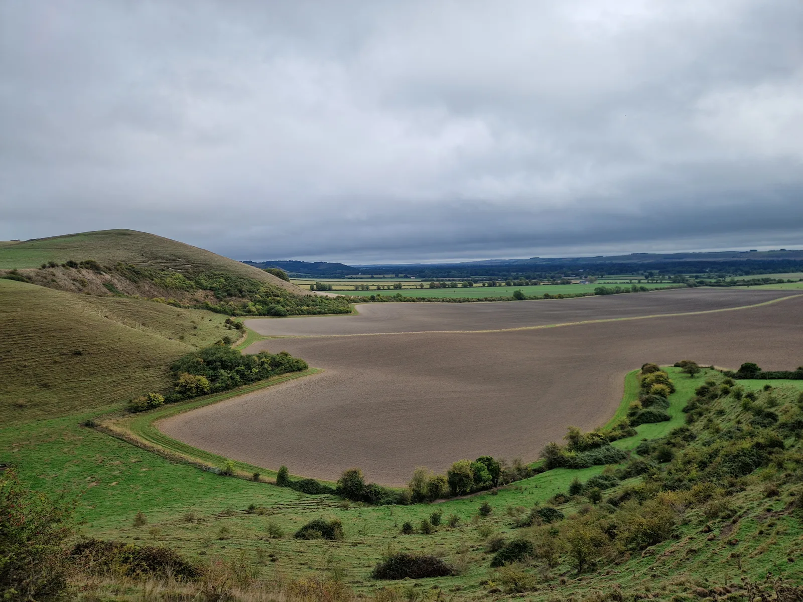
In the end, the weather had decided. The constant drizzle would have made the off-road path slippery and muddy. I would stick to the roads. Skirting around the plains, I was amused by the “TANK CROSSING” signs at regular intervals.
I didn’t see any tanks. Just a section of infantry hiking around.
Lunch?
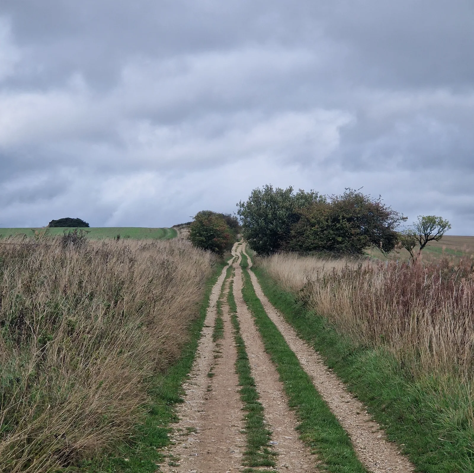
The morning was unremarkable. English countryside roads with not much of a view. When the drizzle strengthened I put on my coat and started sweating. When it weakened I took off th coat and tried to dry myself.
Eventually the sun burned it’s way through the clouds and the weather dried up. The roads were opening up and I started to enjoy the scenery.
I found a pub, and stopped for lunch. The waitress warned me that there would be. 30 to 45 minute wait for the kitchen. Too bad. I would find another place for lunch.
Off-Road!
The route veered off-road again, and a few minutes later, I saw a woman fiddling around her up-turned bike. She was on tour and had a bad puncture in her tire. She’d repaired it with her tubeless repair kit, but the hole was too big. I stopped, offered moral support, and walked her through putting an inner tube in.
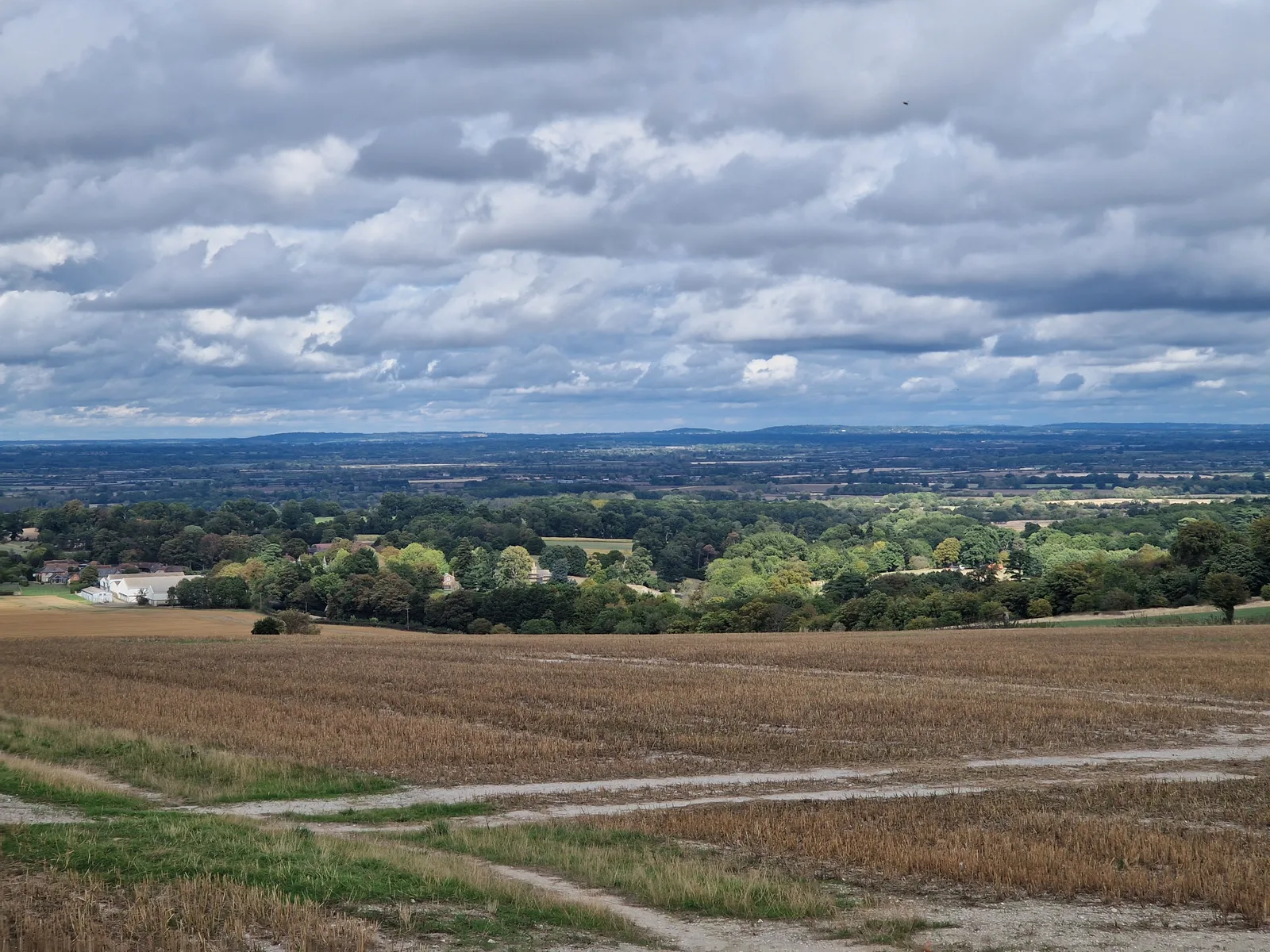
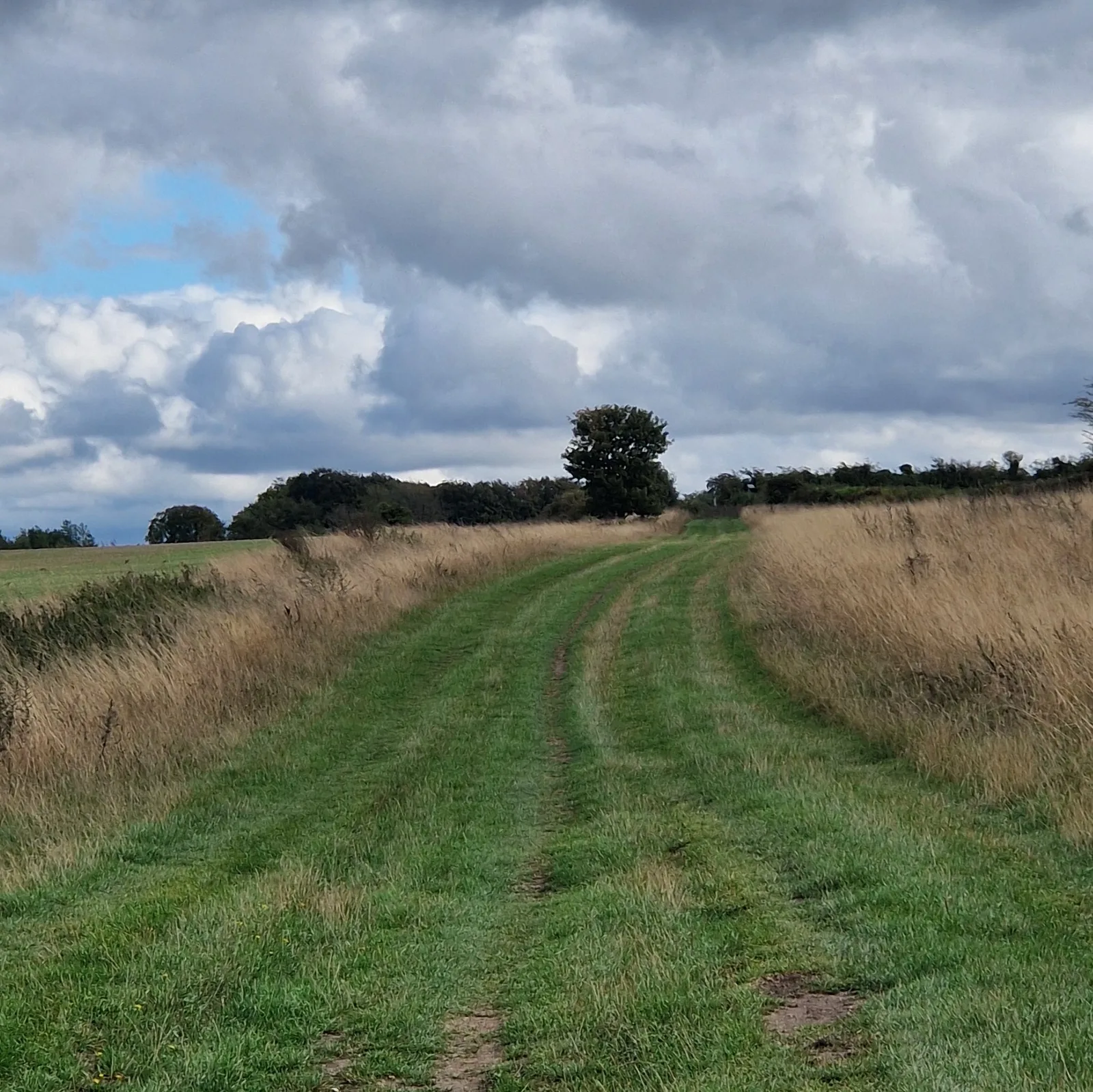
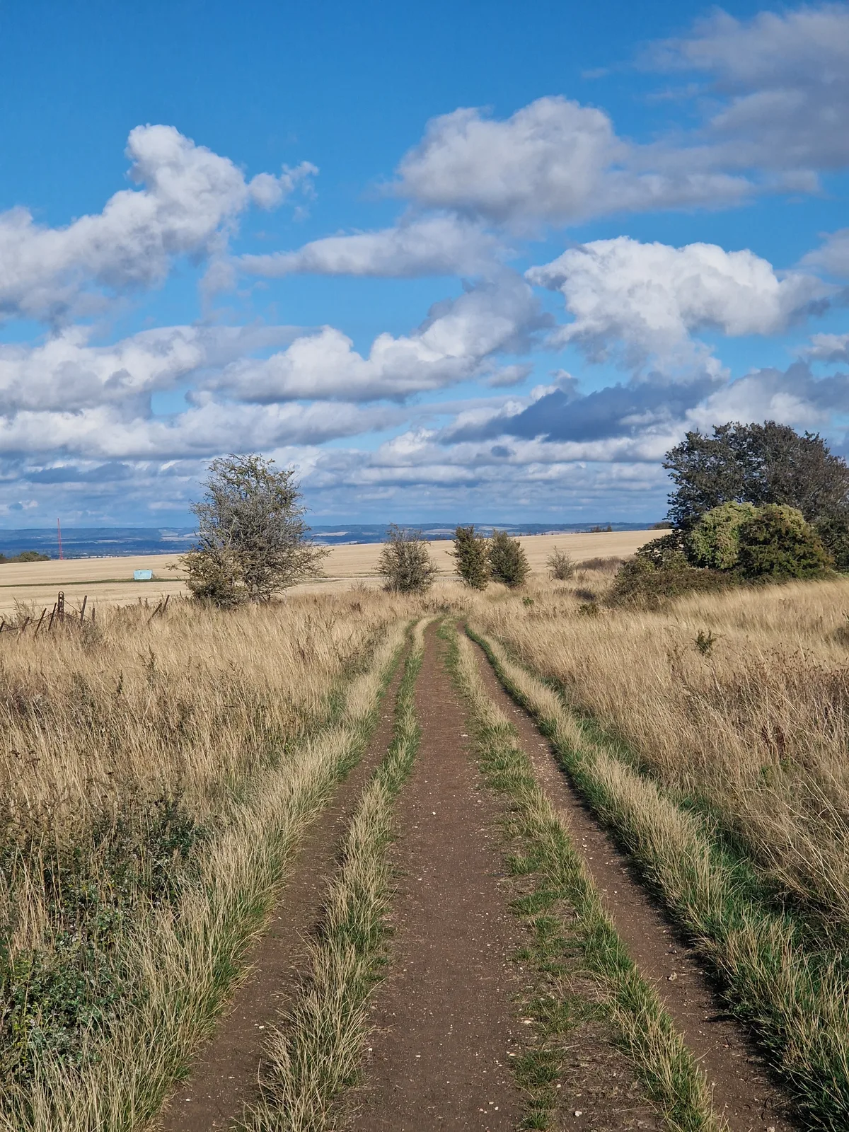
The route was fun but exhausting, climbing along the Wessex Ridgeway. The path alternated between more-or-less rutted grass sections, gravel sections and the occasional single-track. The climbs were short, and the descents flowy. It was easy to build up speed, and dart from one track to another, picking the smoothest path down.
The fun has to end ...
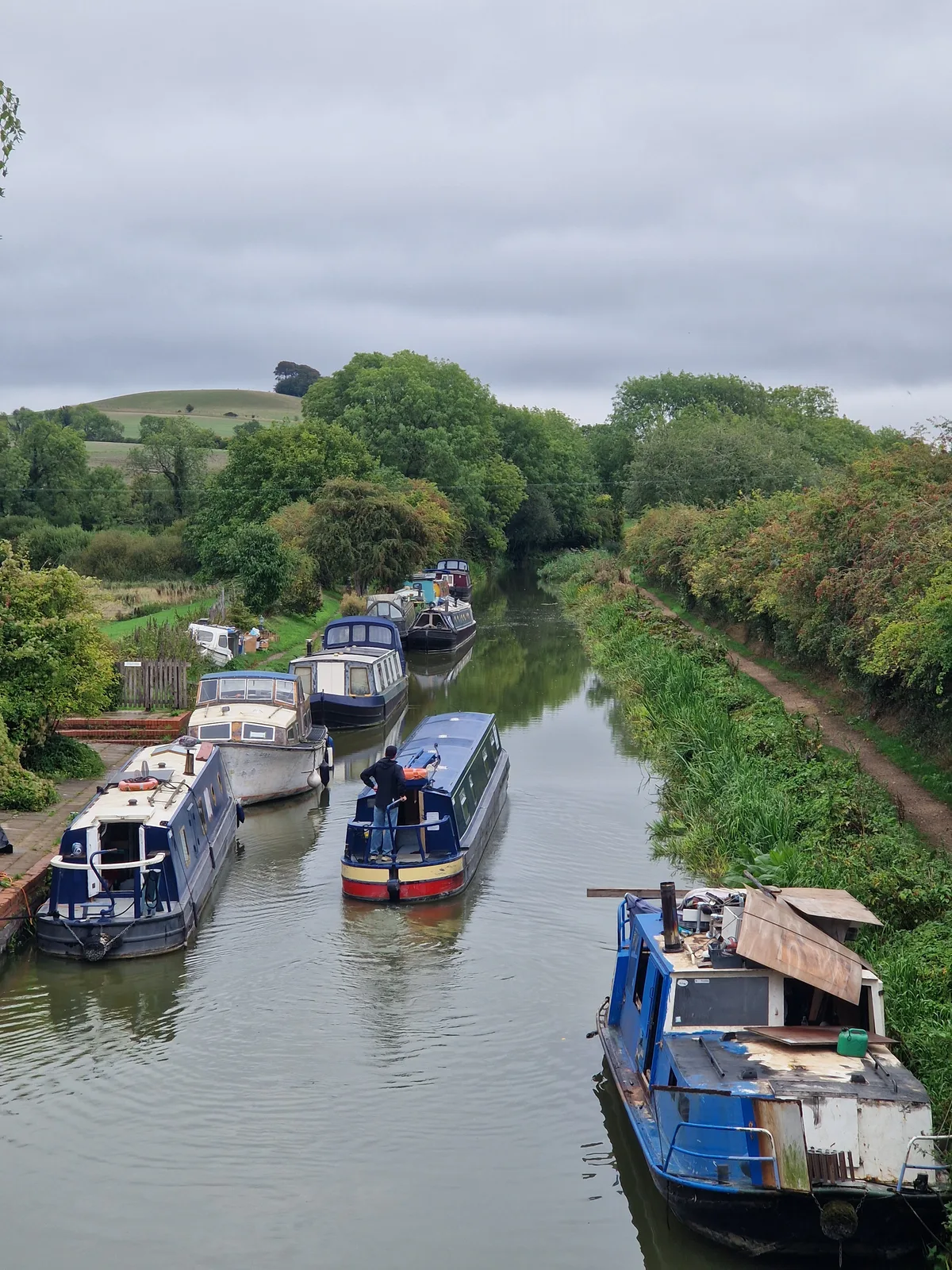
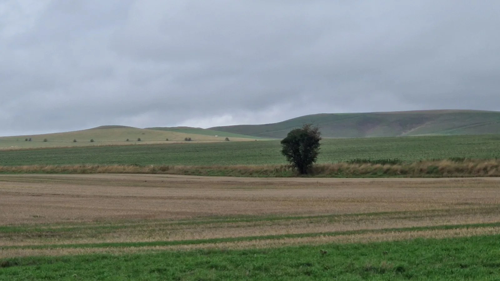
I had so much fun that I would forget to take pictures. The ones I did take were underwhelming. When I stopped the views were lovely, but when crammed into a picture the beautiful countryside was so compressed that it vanished.
I’d pushed hard. My GPS had glitched, so I wasn’t sure how far I’d gone and just continued pushing to make up for the lost time yesterday.
A few kilometres from the end, as the sun was waning, I heard the familiar Pssshhhhhh of a puncture.
All day long, any time I stopped to chat with anybody, they asked about flats. I’d always carefully skirted the answer for fear of jinxing it. Clearly, it hadn’t been enough.
I hoped the the sealant in my tire would be enough but the tire deflated. I spun it around looking for the puncture but could not find it. I looked again and spotted it: a 5 mm tear in the sidewall. I could try to stuff it with plugs and hope for the best, or just put a tube in.
English pizza?
I wanted to reach the campsite, so I put a tube in.
Cautiously, I covered the final few kilometres to the campsite. In the afternoon my GPS had glitched. I knew it had forgotten some of my track for the day but I underestimated how much. I had been puzzling at the mismatch between my riding time, and the actual time of day. It’s only when I stopped that I realised how far I had come. The trail had been so much fun that I had ridden non-stop, barely taking any breaks!
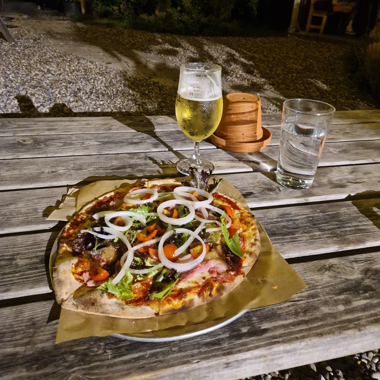
At the campsite, I quickly set up my tent, and rushed down the road to a local bicycle-themed pizza restaurant. I was hungry for a proper meal. With all the fun I’d been having, I had missed lunch!
My dinner was a very English take on pizza: cheddar, caramelised red onions, chutney, and a handful of other forgotten ingredients that would have never been put on an Italian pizza.
It was ok.
By the numbers
- Ride Started
- 08:49
- Ride Ended
- 20:01
- Distance
- 147 km
- Time Moving
- 7h 20m
- Time Elapsed
- 11h 12m
- Elevation Gained
- 1536 m
- Distance so far
- 1700 km
- Riding so far
- 98h 42m
- Elevation so far
- 19369 m
Tubes & tubeless
Most bicyles use inner tubes, a tube that goes inside the tire. The inner tube holds the air, and the tire protects it from damage. You get a puncture when something pierces the tire and the inner tube.
But there is a more perfidious type of puncture: the dreaded “pinch flat”. There are no holes on the tire, but somehow your inner tube is punctured and leaking air, albeit at a slow rate. These happen when you hit an obstacle, or a bump, and the inner tube is squeezed between the rim of the wheel and the obstacle. These leave two small holes, like a snake bite, that can be a bother to track down.
Tubeless tires do away with the inner tube. The tube clinches onto the rim of the wheel, making an airtight seal. A special liquid, the sealant, is added to the tire that solidifies when exposed to the outside air, sealing any remaining gaps. When the tire is puntured, the sealant flows into the hole, and solidifies.
Tubeless is especially helpful when touring because the probability of a pinch flat increases with the weight of the bicycle. Carry more things, fix more flats. With tubless, if you puncture, you’ll hear a hiss of air, that dies down as the sealant closed the gap. If necessary, restore the lost pressure with a pump and you’re good to go.