A smooth beginning
Inadequate planning strikes again!
Nothing dramatic, but yesterday, I hoped to be free of canals, a more detailed look at the map proved that I would climbing locks for some time more.
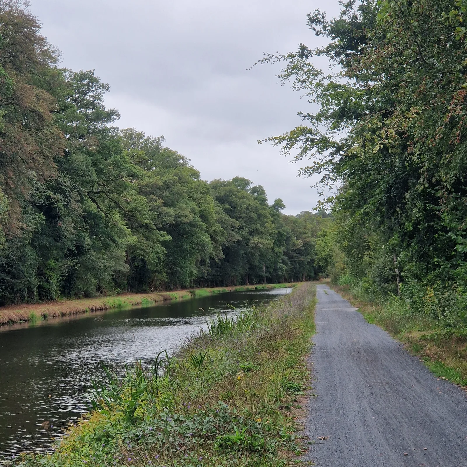
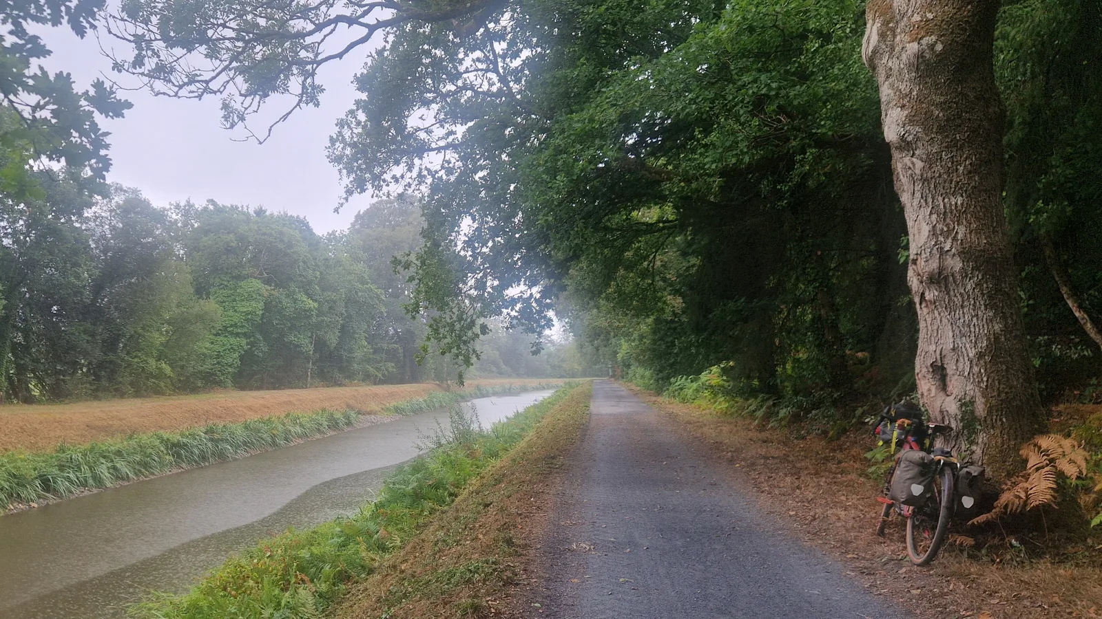
I rejoined my route, I noticed a change. Yesterday, the canal looked navigable. This section was clearly disused. The greenery was wilder, dipping into the river at points, and the path turned to gravel. Gravel is nice, it’s slower than asphalt (riding the same distance takes more effort), but it fit the scenery. Today was starting off on a relaxing pace.
Envy
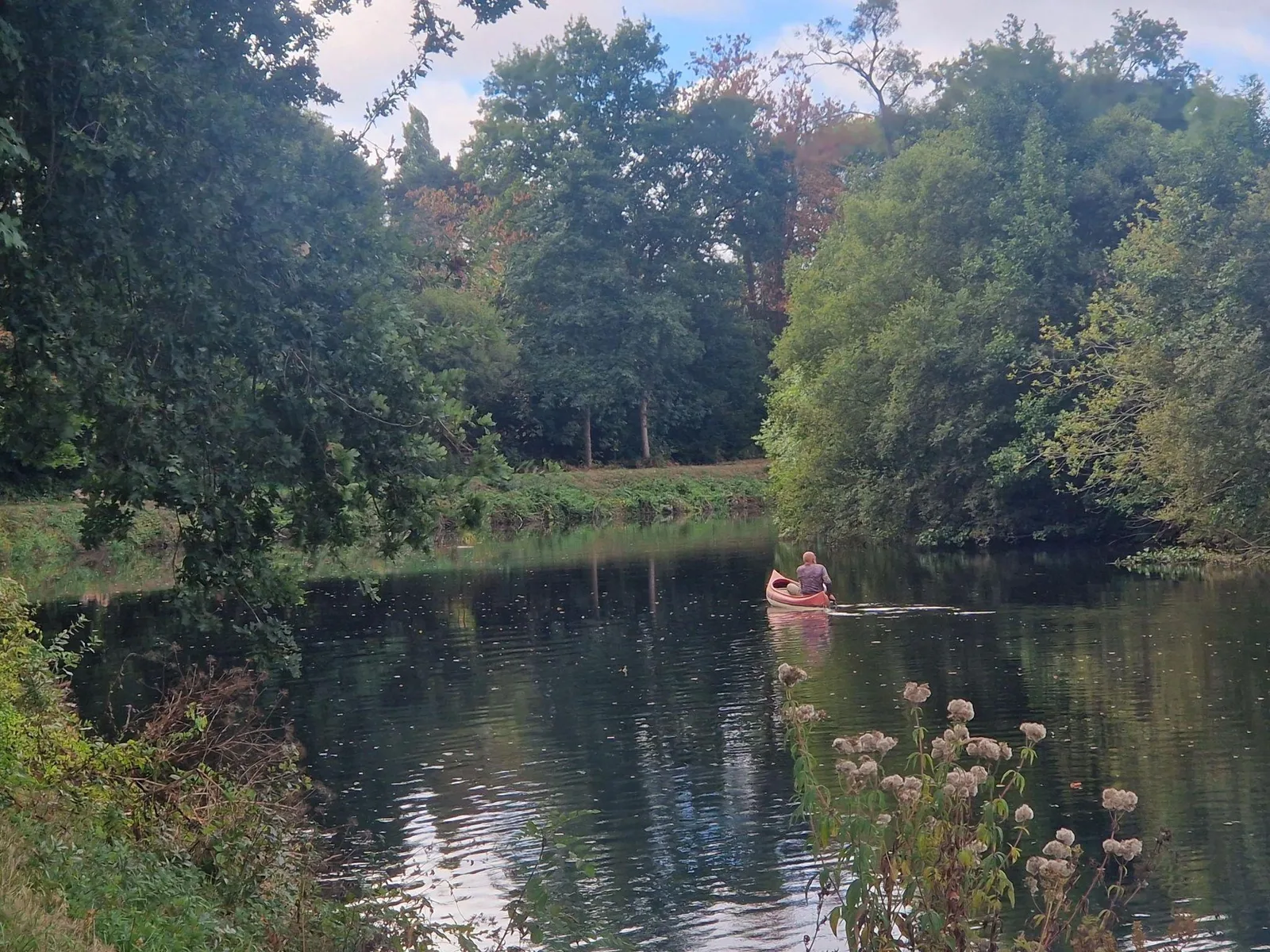
A man on canoe rowed down the river, casually unpeturbed, without making a sound, leaving only a small disturbance in the water behind him. I could not help but notice the sound of my tires, and wind whooshing in my ears as I built-up speed. At least I didn’t need to carry my steed on my shoulders each time I reached a lock.
He could not have come very far today, since a few kilometres later the path ended abruptly, delivering me onto a small parking lot. A road left the it, heading into the trees, where it turned upwards into a nasty climb.
A Climb!
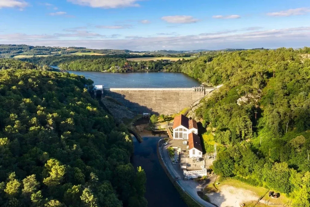
Behind the trees was a dam, the “Barrage de Guerlédan, completed in 1930, and generating 15 MW of power. When construction started, the dam cut the “Canal de Nantes a Brest” into two sections, accelerating it’s demise. A boat elevator was initially planned, but was never built.
As I started up the hill, I hoped for some nice views.
It was quite a climb. 100 steep metres, and no view of the waterworks at any point. The best I got was a view of the electrical substation from which the power was injected back into the electrical grid.
From there, the road followed the shore of the lake, climbing almost imperceptibly. It’s only when I slowed, attempting to understand why maintaining my pace required so much effort that I saw the gentle slope. A few percent of grade, but enough to make the going just hard enough to notice.
Food!
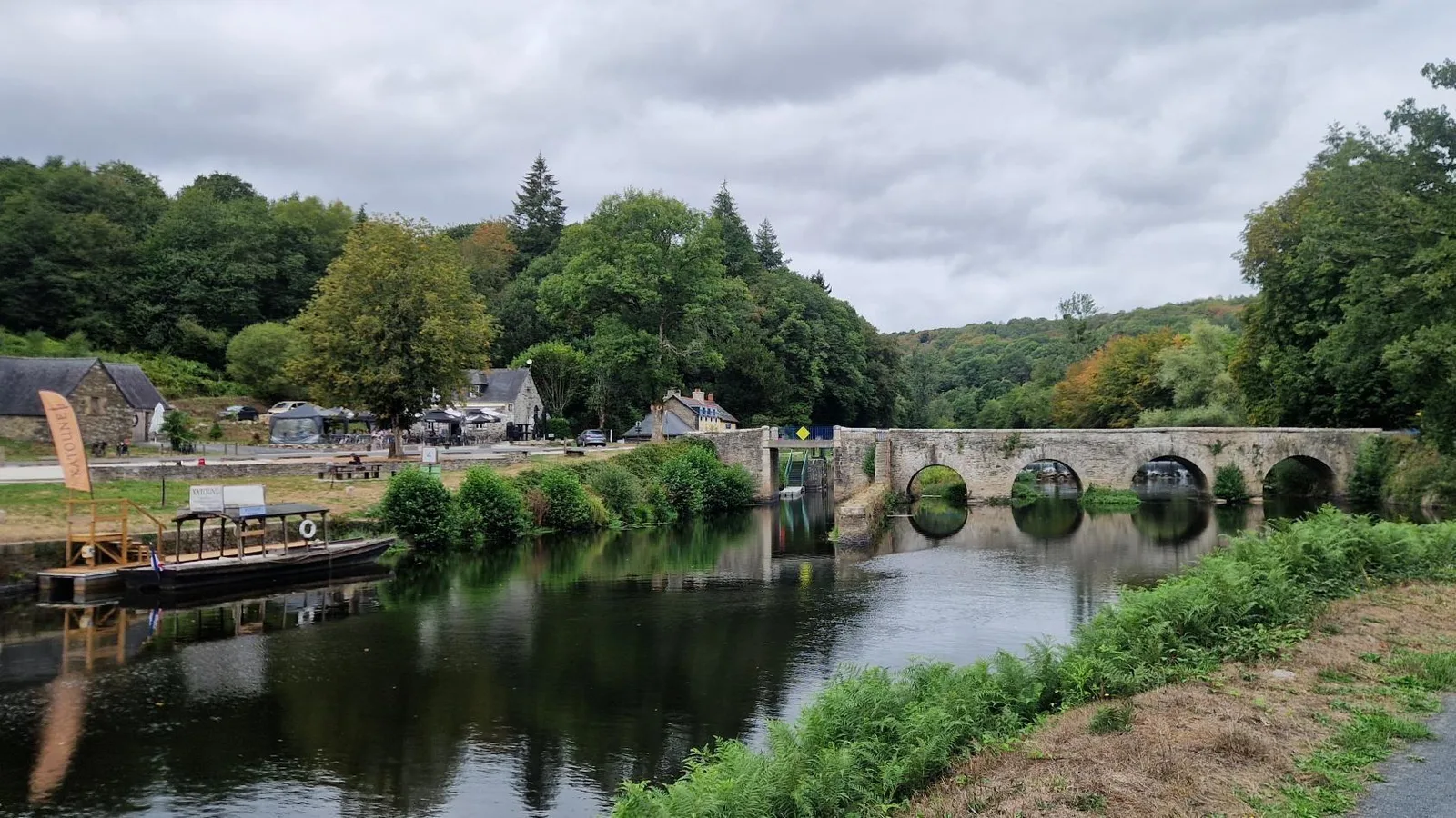
The path crested, then started descending, before finally rejoining the canal. Here, just after a beautiful stone bridge, a restaurant becconed. Offering a sausage and a plate of fries for less than 10 euros, it was a no-brainer.
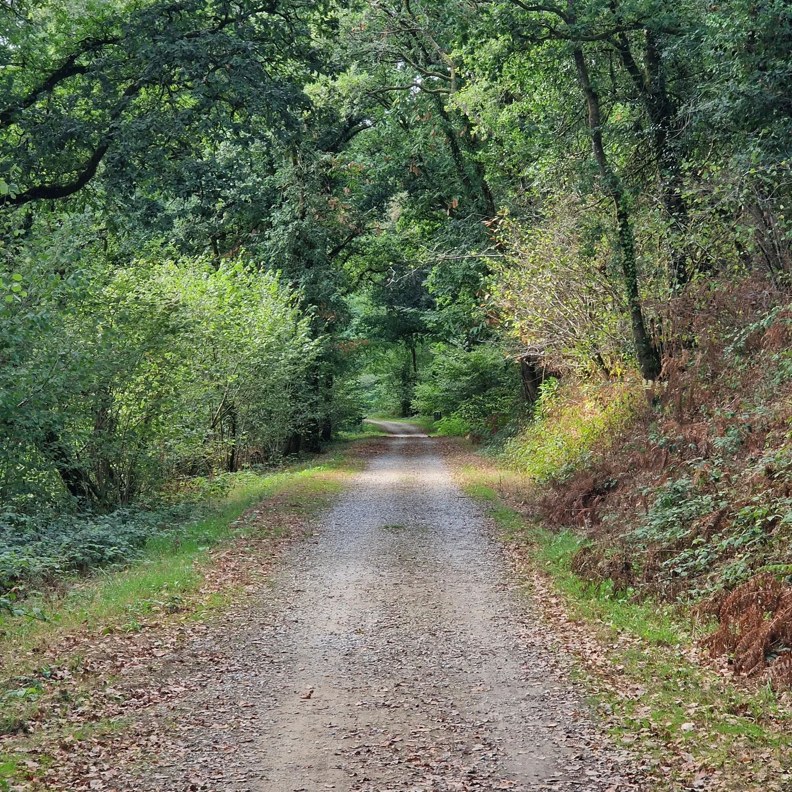
Nourished, I was back on the road. Climbing, lock after lock. Somehow I was not bored. Yesterday had been a monotonous drudge, but today, the path changed rapidly enough to keep me interested. Here the branches of a tree fell towards the ground, drawing an archway, protecting the weary traveller from the elements, there the sight of the water cresting the locks kept me engaged.
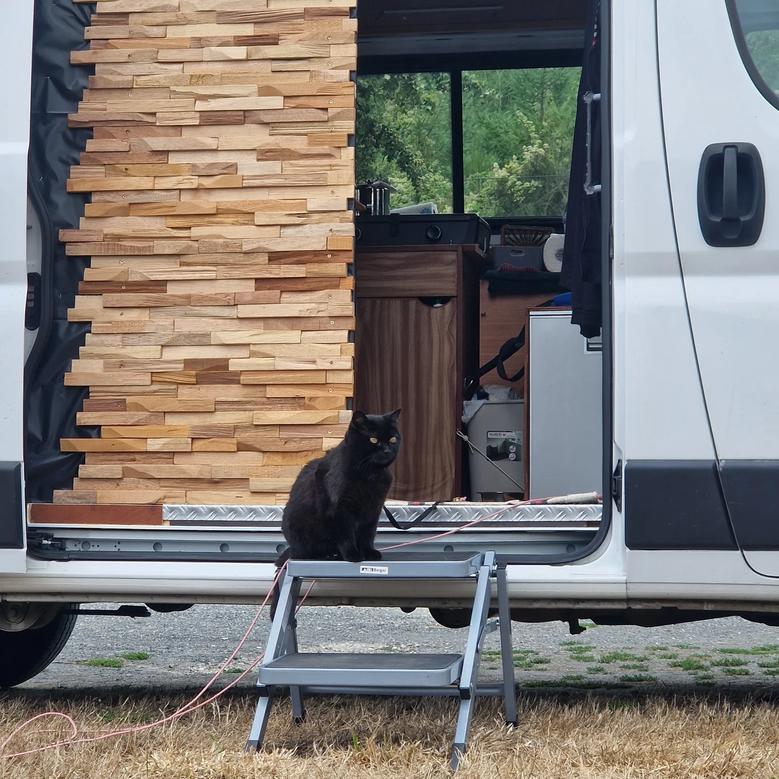
Meet Kiki
I passed a van. A cat perched on the steps silently judged the cyclists passing below him. I stopped to talk to the owners.
I the most cat-like manner, Kiki had chosen them one day. As a kitten exploring a tree, he’d literally fallen into their arms. He was the neighbours cat, but the neighbour also had a dog so Kiki kep escaping to their house. Eventually, they had made the arrangement official, and now he travelled through France with them, the kind of the van.
I was getting snacky! Luckily, this section of the canal has seen real investment and an opprunity appeared at just the right time.
At the “Pontarlen Cafe”, a sign offering a coffee and cookie drew my gaze, and not knowing when the next such invitation might present itself, I stopped.
I was in a chatty mood today, so as the owner folded her laundry we talked. The region had been developing activities in the old lock-houses, inviting newcomers to inhabit and develop them. They had taken over one of the larger houses, and made it into a cafe, catering to cyclists passing by, and locals, and turned part of it into a BnB.
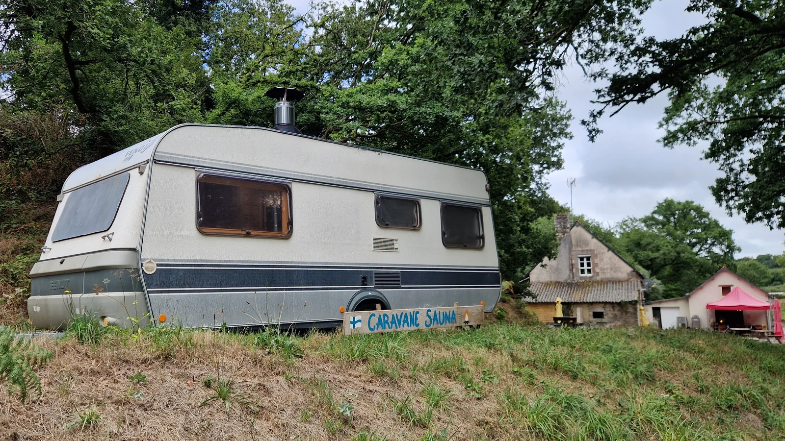
For their comfort, and their guests, they had set-up a sauna … in a caravan!
Rain!
Showers would be the rhythm of the rest of the afternoon. Shower breaks out; hide under a tree and chat with the other cyclists hiding there too. Shower stops; get back in the saddle. I was a bit wet, but the exertion would dry me out soon. It also helped to clean off some of dirt my equipment had picked up so far.
Eventually, the route left the canal. Instead of a canal gently making its way down to the coast, I was on a disused railway track (a “Voie Verte”, or green way, in French). This sloped upwards almost imperceptibly. Again. I climbed and climbed, it seemed to never end. I was passing towns again, but none of them were inviting.
Eventually, I resolved to stop. I found a campsite a reasonable distance away, and promised myself that I would sort out my ferry tonight.
By the numbers
- Ride Started
- 10:30
- Ride Ended
- 19:39
- Distance
- 113 km
- Time Moving
- 5h 46m
- Time Elapsed
- 9h 09m
- Elevation Gained
- 1072 m
- Distance so far
- 703 km
- Riding so far
- 36h 32m
- Elevation so far
- 4347 m